Sentinel Ridge Trail
Enjoy expansive views of the confluence of the Wisconsin and Mississippi rivers from this trail in Wyalusing State Park.
Hiking Difficult
- Distance
- 5.1 km
- Ascent
- 266 m
- Descent
- 266 m
- Duration
- 1-2 hrs
- Low Point
- 195 m
- High Point
- 350 m
- Gradient
- 9˚
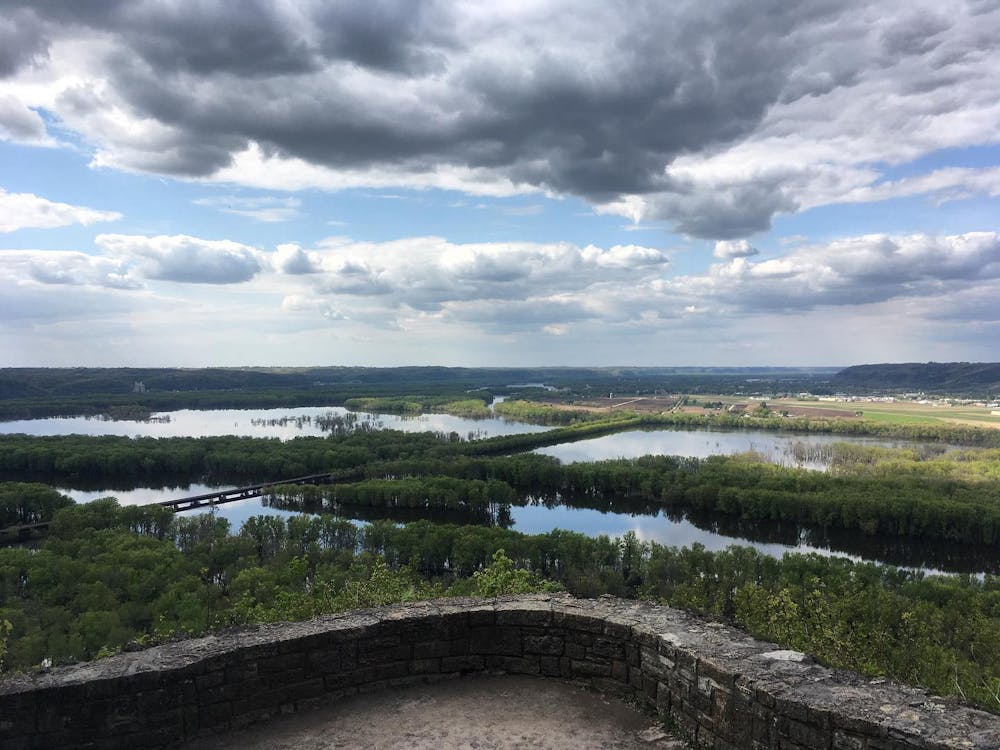
Wyalusing State Park “is a 2,628-acre Wisconsin state park at the confluence of the Mississippi and Wisconsin rivers,” according to Wikipedia. One of Wisconsin’s oldest parks, Wyalusing is home to Indian burial mounds, a canoe trail in the river, and beautiful hiking trails along the bluffs.
- •
- •
- •
- •
- •
Description
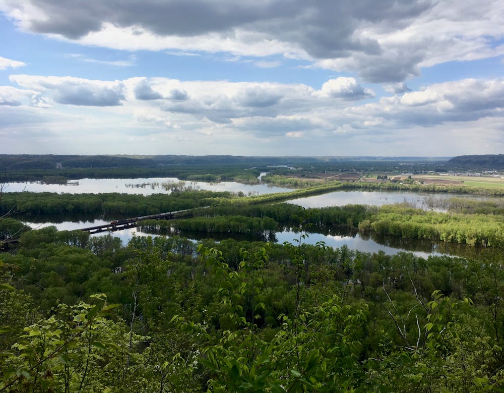
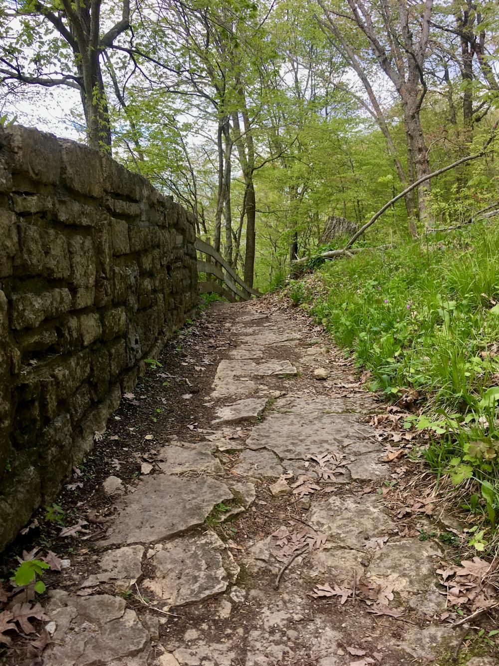
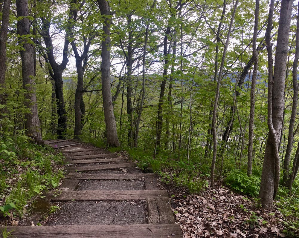
Thanks to the bluffs that rise over 500 feet above the rivers below, hikers will enjoy expansive views from the Sentinel Ridge Trail. According to SummitPost.org, this vertical relief makes Wyalusing "one of these rare Midwestern places” because of its uniqueness when compared to the rest of the trails in this region.
The bluffs rise here because Wyalusing is located in the Driftless Area, a region that "escaped glaciation during the last ice,” according to Wikipedia. So, unlike most of the upper Midwest that was flattened by glaciers, this area offers beautiful forested ridges and river valleys.
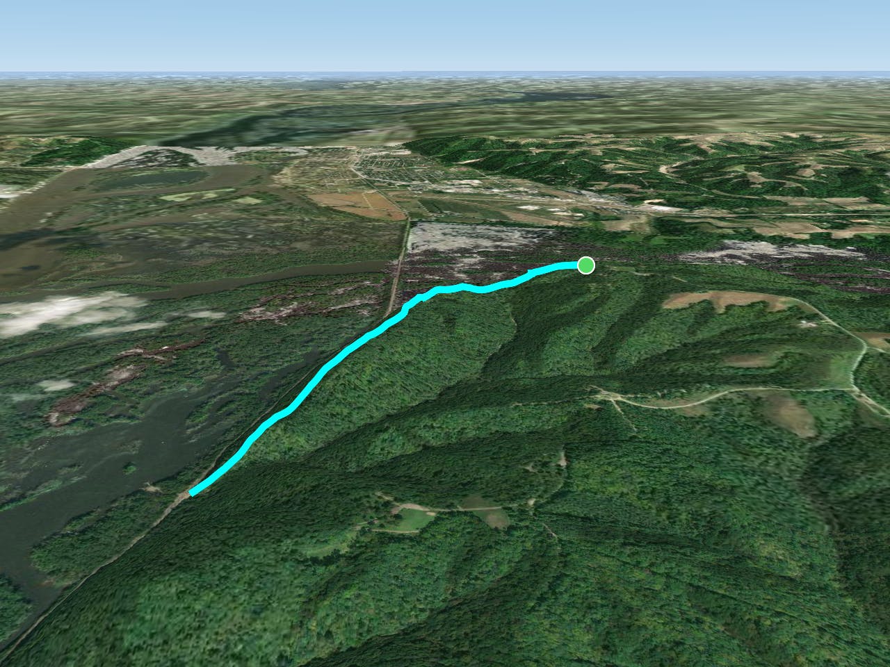
The route mapped here begins at the overlook of the river confluence and then completes an out-and-back hike along the Sentinel Ridge Trail. Hiking the trail in this way will allow you to enjoy the primary viewpoint immediately (which is located near the major parking lot) and then hike as far along the ridge as you desire. As you hike along, you’ll be afforded a variety of viewpoints of the river below, which reward you for venturing off the pavement and onto the dirt.
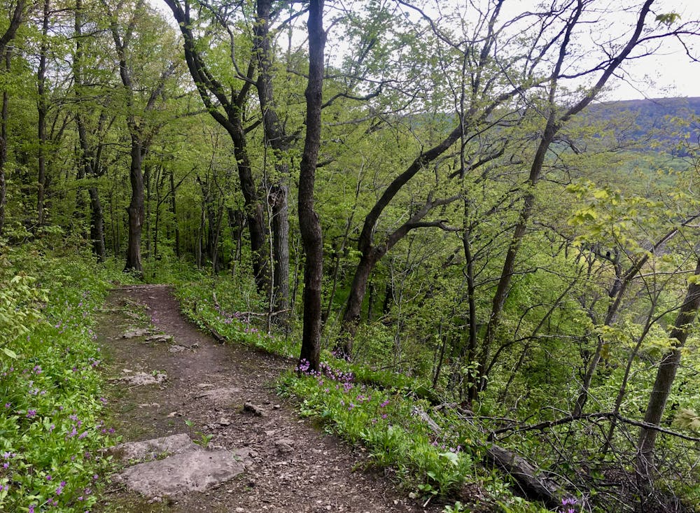
The hike isn’t too technical, but due to the vertical relief of the bluffs, the trail travels up and down stairs, through rocky sections, and along exposed sections of singletrack. Remember that if you descend all the way down the ridge you’ll have to hike back up all that elevation to return to your car!
Additional Sources: https://www.travelwisconsin.com/state-parks-forests/wyalusing-state-park-204186
Difficulty
Difficult
Hiking trails where obstacles such as rocks or roots are prevalent. Some obstacles can require care to step over or around. At times, the trail can be worn and eroded. The grade of the trail is generally quite steep, and can often lead to strenuous hiking.
High Exposure

Some trail sections have exposed ledges or steep ascents/descents where falling could cause serious injury.
Remoteness

Away from help but easily accessed.
Best time to visit
Features
- Picturesque
- Forestry or heavy vegetation