1.8 km away
Granny Chutes

South facing, technical chutes from the top of the Bridger Gondola.
Difficult Freeride Skiing
- Distance
- 791 m
- Ascent
- 185 m
- Descent
- 299 m
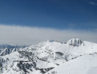
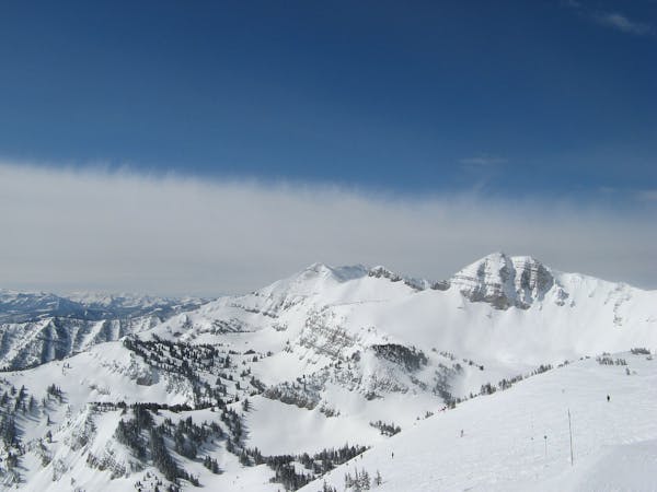
The exit route out of Granite Canyon
Freeride Skiing Moderate

To exit Granite Canyon, contour the north facing aspect of Granite Canyon heading east just above the Granite Creek bottom. There is almost always a highly visible traverse already in place, but if not visible, a general rule of thumb is to stay between 50 and 100 yards above the creek bottom on the skier's righthand side. Gain height when possible (sidestepping, skating, and poling when necessary) until you round the corner of Apres Vous Mountain. From the corner, continue the traverse southward maintaining height, you should end up on a cat track leading through a housing development which will bring you back to the base of the resort. CAUTION: the traverse out of Granite Canyon will place you in the bottom of numerous avalanche paths. Be aware of overhead dangers, and choose resting spots wisely! Also, while not impossible, snowboarding this traverse can be extra tedious.
This beast of a traverse will have your skis pointed in one direction; you might come out of it a bit cock-eyed.
Moderate
Slopes become slightly steeper at around 25-30 degrees.

Exposure is limited to that of the slope itself. Getting hurt is still likely if the slope is steep and/or the snow is hard.

In the high mountains or remote conditions, all individuals must be completely autonomous in every situation.
1.8 km away
South facing, technical chutes from the top of the Bridger Gondola.
Difficult Freeride Skiing
2.3 km away

Steep tight trees; a primo powder run with obstacles abound.
Difficult Freeride Skiing
2.3 km away
The big show!
Extreme Freeride Skiing
2.3 km away
So steep you’ll barely feel the ground underneath you
Severe Freeride Skiing
2.6 km away

A wicked steep and elusive couloir.
Extreme Freeride Skiing
2.6 km away

Access to Pucker Face, Cody Peak runs, The North Shore and more.
Severe Freeride Skiing
2.8 km away

Introduction to Jackson backcountry.
Difficult Freeride Skiing
3.1 km away

A sneaky chute into Rock Springs Canyon
Difficult Freeride Skiing
3.1 km away

Tight, north-facing trees from the entrance to the Hobacks.
Difficult Freeride Skiing
3.5 km away

A great run, easy hike, fantastic views.
Difficult Freeride Skiing
20 routes · Freeride Skiing