5 routes · Hiking · Trail Running
A strenuous climb with magnificent views across Yellowstone National Park.
Hiking Moderate

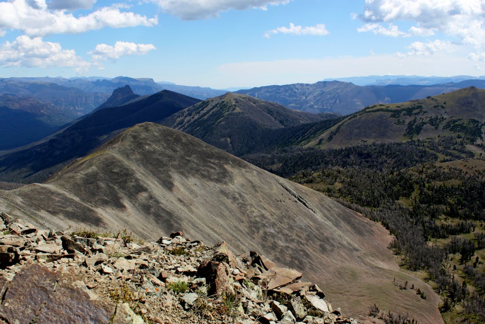
This 6.1-mile hike will take you through meadows, ancient forests, and burnt areas until quickly ascending the enormous 10,566-foot summit of Avalanche Peak.
Spot the Avalanche Peak trailhead sign near Eleanor Lake, between Fishing Bridge and the East Entrance on East Entrance Road. The trail starts on the north side of the road, and the path is well signed the whole way up.
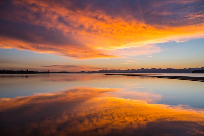
From the summit, you’ll be rewarded with expansive views of the landscape below. The Tetons and Mount Sheridan lie to the south, Yellowstone Lake to the southwest, and the Absaroka-Beartooth mountains to the east. The best time to get up there is in the height of summer, to avoid snowpack, which makes hiking here at other times of the year a lot more strenuous.
Sources: https://www.nps.gov/yell/index.html https://www.visitmt.com/listings/general/national-park-trail/avalanche-peak.html
Moderate
Hiking along trails with some uneven terrain and small hills. Small rocks and roots may be present.

Close to help in case of emergency.
5 routes · Hiking · Trail Running
5 routes · Hiking · Trail Running

25 routes · Alpine Climbing · Hiking
5 routes · Alpine Climbing · Hiking