10 m away
CDT: Southern Terminus to NM-9
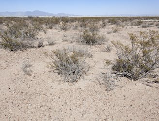
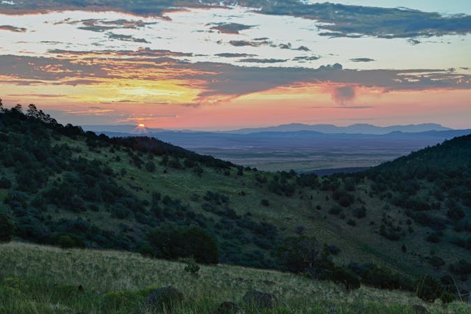
The southernmost section of the CDT as it explores the Chihuahuan Desert and crosses the Big Hatchet Mountains.
Moderate Hiking
- Distance
- 72 km
- Ascent
- 956 m
- Descent
- 832 m

Long-distance trail along the crest of the Rocky Mountains from Mexico to Canada.
Also in Alberta, Canada • Chihuahua, Mexico • Arizona, United States of America • Idaho, United States of America • Montana, United States of America • New Mexico, United States of America • Utah, United States of America
Hiking Difficult

The Continental Divide is the line which separates the major watersheds of North America. Everything west of it drains to the Pacific Ocean, and everything east drains to the Atlantic. Though major watershed divides are not always obvious on a landscape, the Continental Divide through the United States is quite dramatic for most of its length. It is essentially the crest of the Rocky Mountain Range.
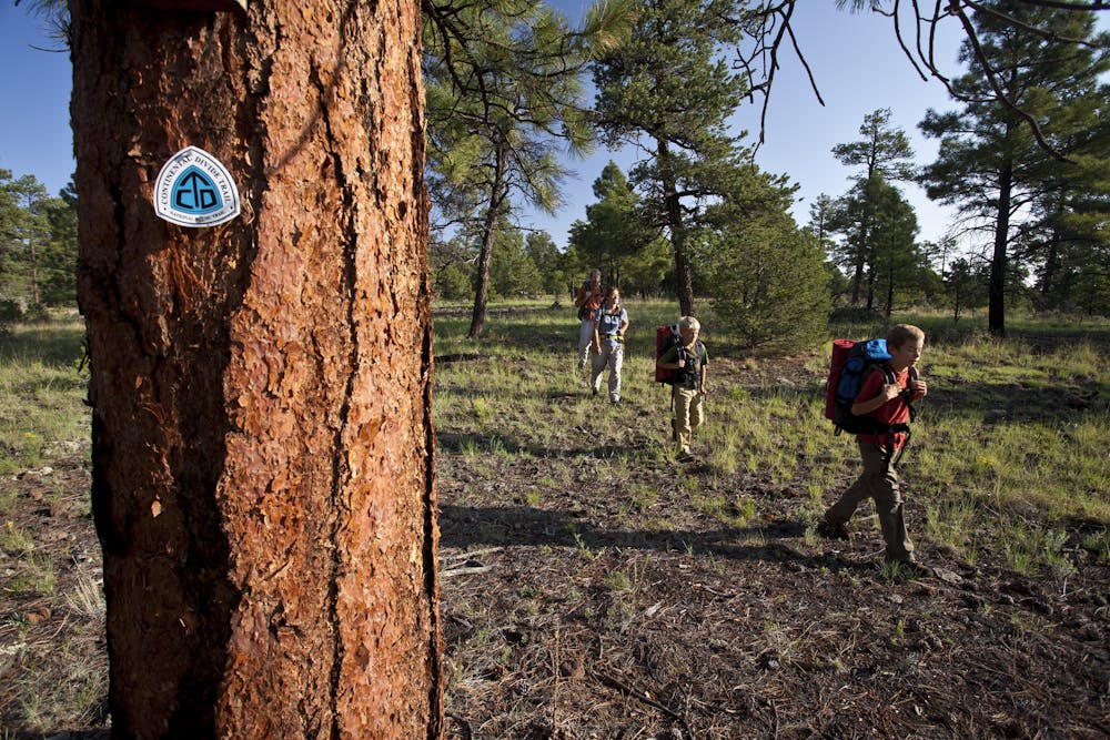
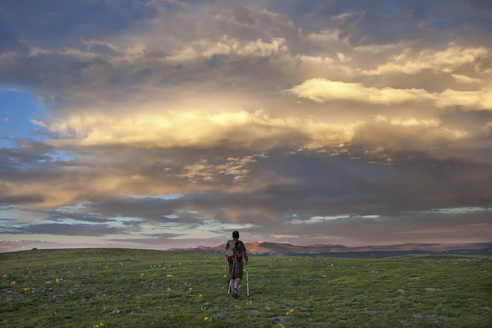
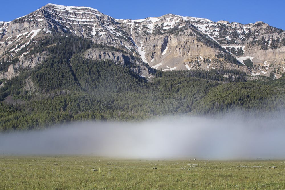
The Continental Divide National Scenic Trail (CDT) is a route of monumental scale that roughly traces this topographical line from Canada to Mexico. There are extensions along the Divide in each of these two countries, but the 3,100 miles within the United States is what the name "CDT" refers to.
The CDT is an officially designated National Scenic Trail, like the Pacific Crest Trail and Appalachian Trail, but unlike those it is not yet complete. About 750 miles, or 24%, of the trail is not yet built. It is navigable by cross-country travel and by detours on roads or other trails. In some places where the trail is present, it is very hard to follow. These navigational difficulties, along with the remoteness, ruggedness, and sheer size of the landscapes traversed, make the CDT the most difficult of the mountainous long-distance hiking trails in the United States.
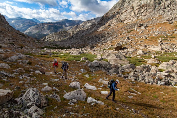
The route connects a staggering diversity of terrain: Chihuahuan Desert at the Mexican border, volcanic mesas and high plains of central New Mexico, the San Juan Mountains of southwest Colorado, Rocky Mountain National Park, dry lake beds in Wyoming, the Wind River Range, Yellowstone National Park, the Bob Marshall Wilderness of Montana, and Glacier National Park on the Canadian border. These are just a few of the highlight landscapes along the Continental Divide.
Most hikers on the CDT do only sections at a time, but a thru-hike from one end to the other is the ultimate achievement for many. This requires months on the trail, backcountry camping the entire way, hiking through changing seasons and all weather conditions from broiling to blizzarding. Logistics are complicated, to say the least. Thru-hikers must work out resupply points, camping permits in national parks, navigating unfinished portions and private land, and staying on schedule to avoid winter in the high mountains. Planning resources are available from the Continental Divide Trail Coalition.
Thru-hikers usually travel northbound, beginning at the Mexican border in New Mexico, but southbound travel is an option as well. Each direction has its own set of advantages and disadvantages. Starting in the south gives more moderate terrain to warm up with, and allows for caching water along the trail during the drive to the terminus. Northbound thru-hikers usually start in late April or early May when the desert is still mild, and aim to arrive in Northwest Montana in September before the onset of winter, but they may encounter spring storms and snowpack in the mountains of Colorado.
The CDT’s challenges and its allure are one in the same for intrepid trekkers. Most people who attempt this thru-hike complete the Pacific Crest Trail or Appalachian Trail—or both—first. Others choose to section hike tricky parts of the CDT as a preview before taking on the full thing.
This is a trail that certainly deserves more hikers, but in its current state beckons only the bold to attempt its full length. The CDT Coalition and numerous volunteers are working hard to complete the trail. Please consider supporting their efforts if you hike any part of the CDT.
Sources: https://continentaldividetrail.org/trip-planning/frequently-asked-questions/ https://en.wikipedia.org/wiki/ContinentalDivideTrail
Difficult
Hiking trails where obstacles such as rocks or roots are prevalent. Some obstacles can require care to step over or around. At times, the trail can be worn and eroded. The grade of the trail is generally quite steep, and can often lead to strenuous hiking.
10 m away

The southernmost section of the CDT as it explores the Chihuahuan Desert and crosses the Big Hatchet Mountains.
Moderate Hiking
11 routes · Hiking
40 routes · Hiking