1 m away
Putt Putt and Hagen Trail Loop
A staple 10k trail run just minutes from downtown Jackson.
Moderate Trail Running
- Distance
- 9.7 km
- Ascent
- 308 m
- Descent
- 308 m
A 13+ mile trail run showcasing the Skyline Trail, one of the newest additions to the Snow King/Cache Creek trail system.
Trail Running Difficult

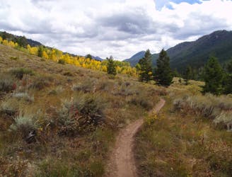
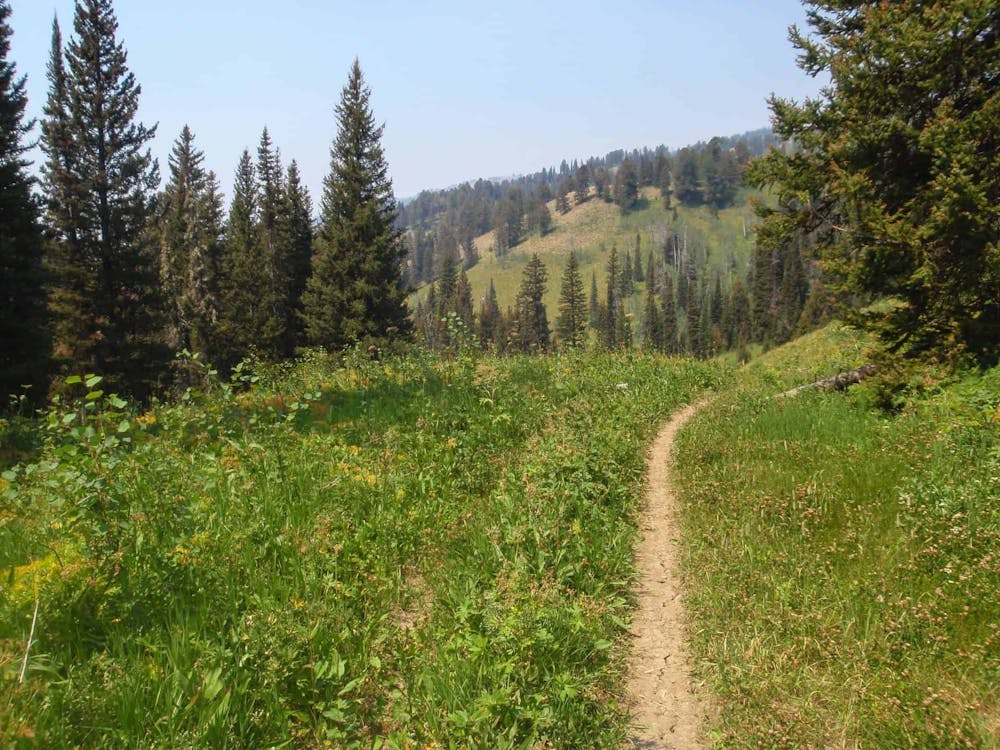
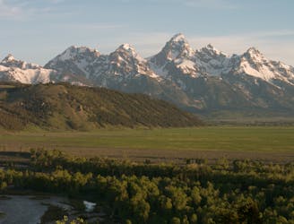
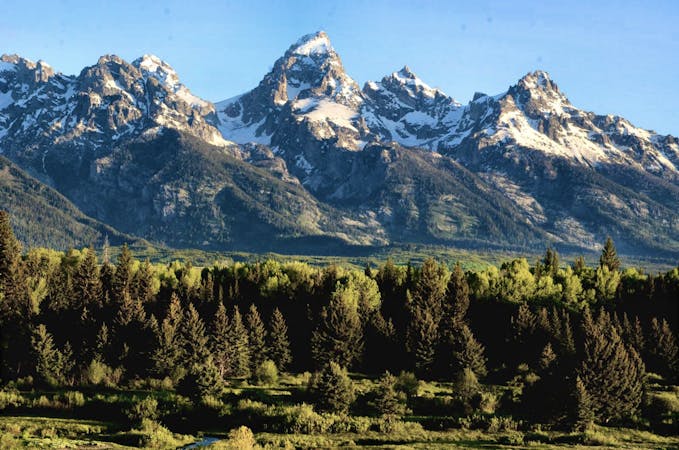
Completed in the summer of 2016, the Skyline Trail is one of the newest trails in the Cache Creek/Snow King trail system. Just over 13 miles long, this trail running loop begins on a dirt road that turns to trail, then winds its way up to the Skyline Trail. The rugged, rocky singletrack wanders through vibrant summer wildflowers and alpine meadows and frequently awards views of the Teton Mountains to the northwest.
According to jhnewsandguide.com, the trail has been a part of the Forest Service master plan since 2001 and had a budget of $140,000. Countless volunteer hours and other generous donations were also crucial to its completion. In addition to foot traffic, this trail is open to mountain bikes, though the lack of "flow" leads many to other trails around the valley. Trail runners, however, will love this long ridgeline traverse—one that may even top their list of local favorites.
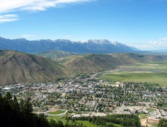
This loop begins at the large trailhead along Cache Creek Road, just minutes from downtown Jackson. The first few miles can either be run on Cache Creek Road as mapped, or you could take the Putt Putt, or Hagen Trail depicted here for a singletrack alternative. Whichever you choose, the road ends at the wilderness boundary, where it then turns to singletrack. At the junction with Game Creek Trail, keep right and prepare for a long, steady climb up to the ridge.
As you traverse the ridge, you'll wander through alpine meadows and an array of wildflowers, with views of the Teton Mountains to the northwest. To the east, you'll catch occasional glimpses of Nowlin Peak at nearly 9,900', with Jackson Peak standing quietly behind it at 10,700'. If you're looking for another run around Jackson Hole, the peak is accessible by foot on this backcountry trail running adventure that also includes a remote alpine lake.
Notice: Skyline Trail is closed from May 1st to July 1st due to wildlife restrictions. According to this source, "Users can alsoexpect a few downed trees as trail crews have not yet been able to clear the popular path."
Sources: https://www.jhnewsandguide.com/opinion/columnists/excursion/skyline-trail-is-a-lot-better-than-people-say/article478b1ce6-9fe1-598d-929e-33e616b85111.html https://www.jhnewsandguide.com/theholescroll/skyline-trail-opens-sunday/articleb1e40d6e-cd37-57d9-a7c6-74121c7bef9f.html
Difficult

The trail contains some obstacles such as outcroppings and rock which could cause injury.
Away from help but easily accessed.
1 m away
A staple 10k trail run just minutes from downtown Jackson.
Moderate Trail Running
2 m away
A quiet out-and-back run with unparalleled views of Jackson and the Teton Mountains.
Difficult Trail Running
2.6 km away
A must-do summit run to Snow King Mountain with epic views as you return along Josie's Ridge.
Moderate Trail Running
9.3 km away

A local favorite run to an alpine lake and summit of Jackson Peak at 10,700'.
Moderate Trail Running
20 routes · Trail Running