7 m away
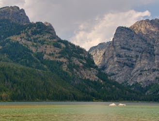
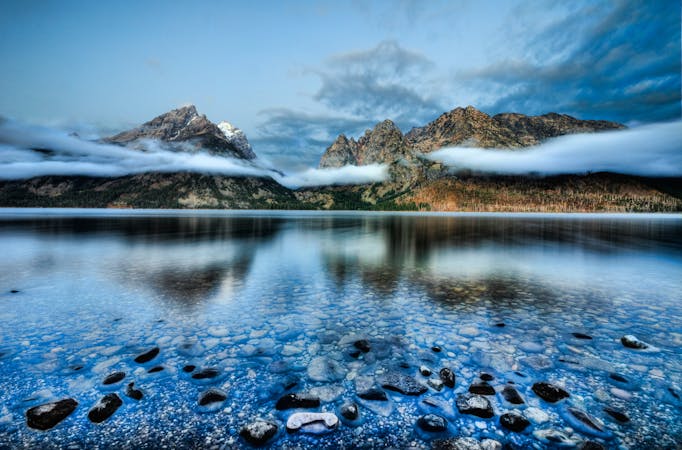
Amphitheater and Delta Lakes
Explore three stunning sub-alpine lakes nestled beneath the highest peaks in the Tetons.
Difficult Trail Running
- Distance
- 16 km
- Ascent
- 1.1 km
- Descent
- 1.1 km
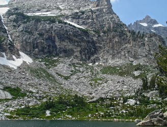
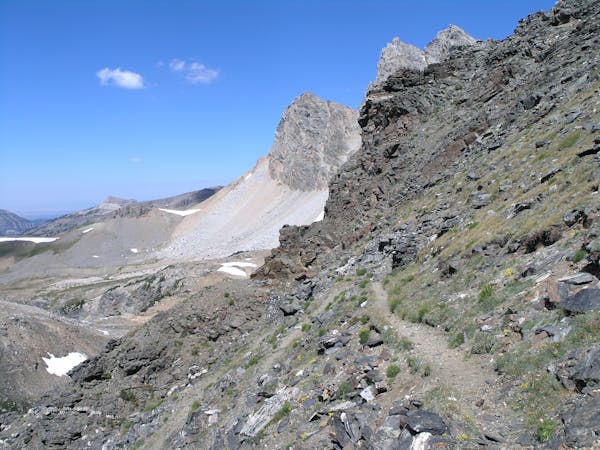
5.4 ascent of Grand Teton
Trail Running Moderate

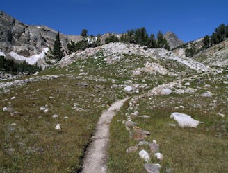
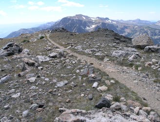
This is a popular trail running route which is generally considered to be moderate. It's remote, it features high exposure and is typically done between July and September. From a low point of 2.1 km to the maximum altitude of 4.2 km, the route covers 22 km, 2189 vertical metres of ascent and 2189 vertical metres of descent.
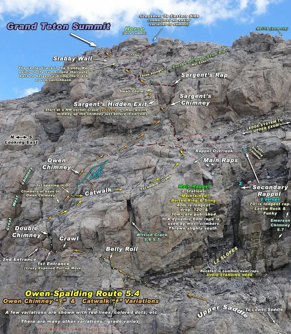
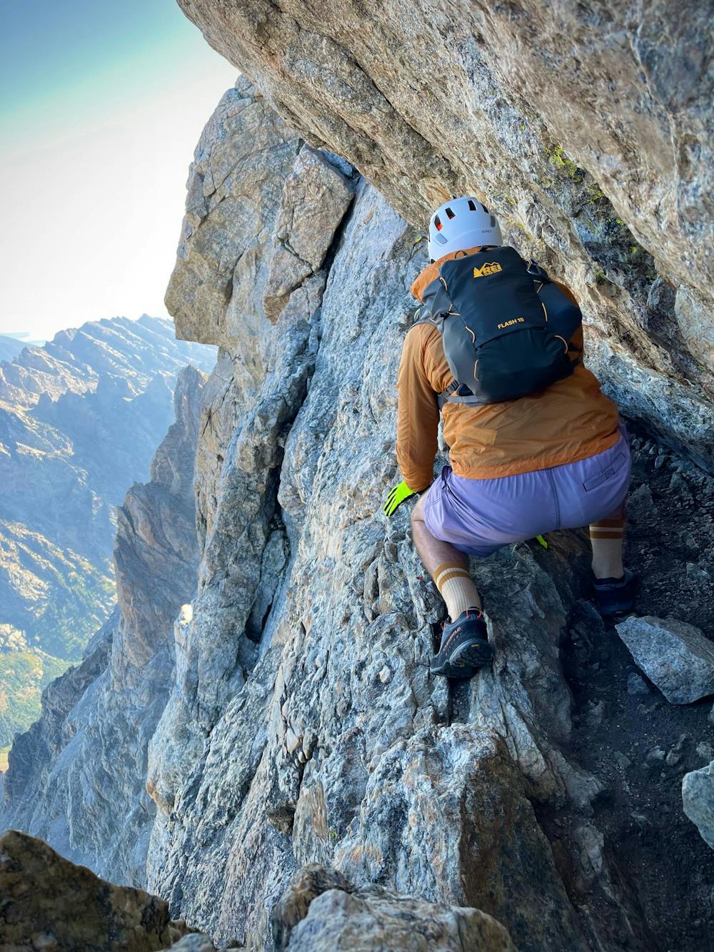
5.4 ascent of Grand Teton
Moderate

Some trail sections have exposed ledges or steep ascents/descents where falling could cause serious injury.

Away from help but easily accessed.
7 m away
Explore three stunning sub-alpine lakes nestled beneath the highest peaks in the Tetons.
Difficult Trail Running
2.2 km away
A easy lakeside run with astounding views of the Tetons.
Easy Trail Running
4.7 km away
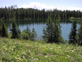
An intermediate trail run visiting two of the six glacial lakes below the Tetons.
Moderate Trail Running
6.1 km away
An epic loop through two vibrant canyons with spectacular views from Paintbrush Divide.
Difficult Trail Running
6.1 km away
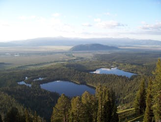
Run the shores of stunning glacial lakes along the eastern slopes of Mount Moran, the 4th highest peak in the Tetons.
Easy Trail Running
9.3 km away
A quick run or hike to a vista overlooking Phelps Lake.
Easy Trail Running
9.3 km away
An epic traverse through the heart of the Tetons, best run as a shuttle.
Difficult Trail Running
6 routes · Trail Running
4 routes · Trail Running
7 routes · Trail Running
20 routes · Trail Running
11 routes · Hiking · Trail Running