4 routes · Hiking
A stunning hike along a scenic canyon, beginning at the famous Saint George monastery.
Hiking Difficult

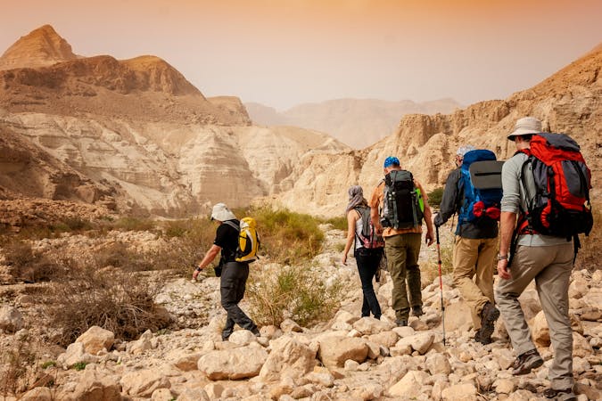
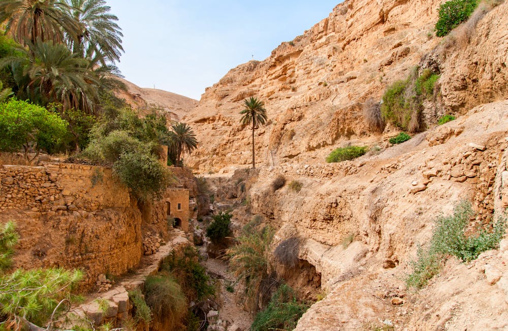
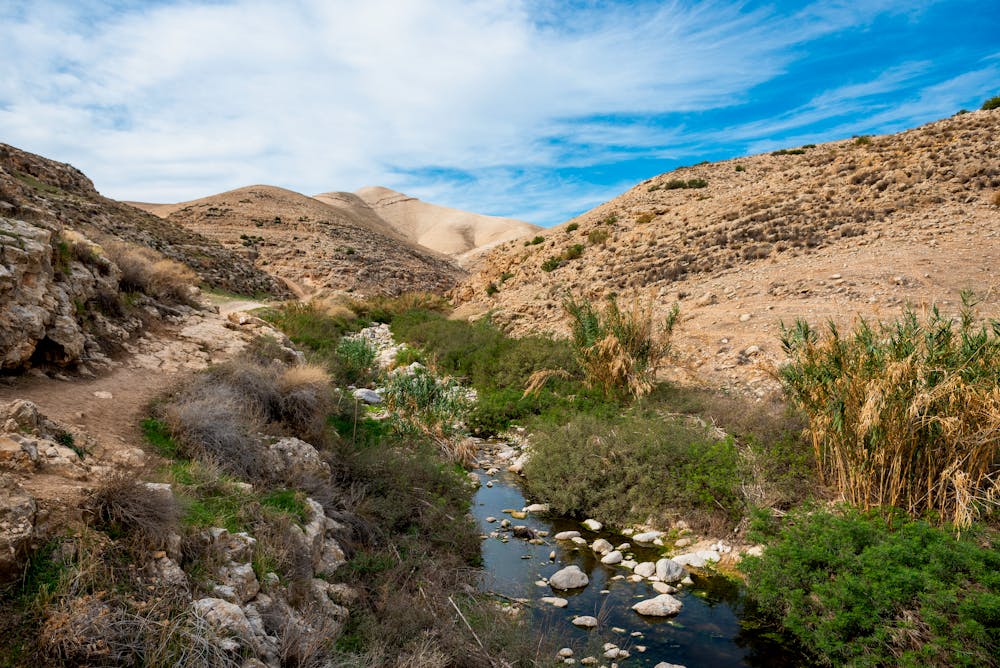
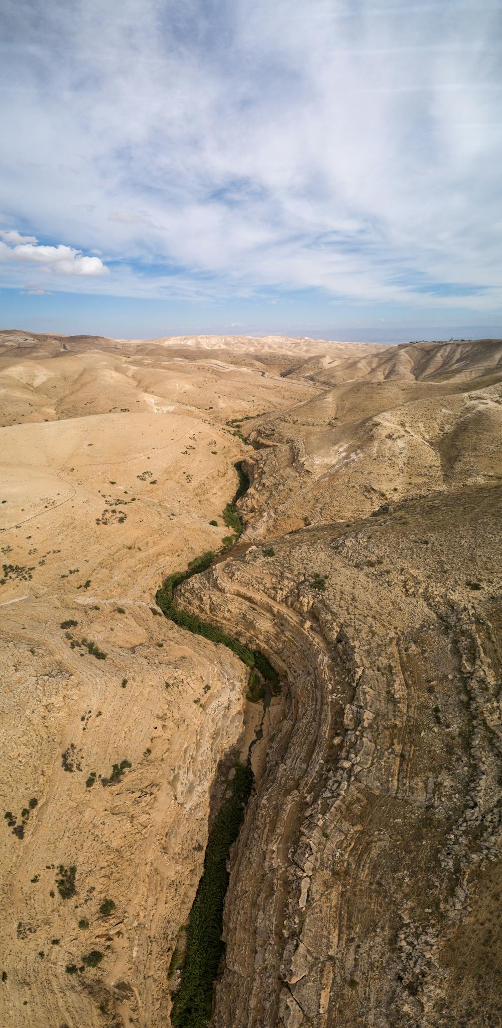
The Wadi Qelt "is a stream that connects Jerusalem and Jericho and marks the northern boundary of the Judean Desert," according to JessieOnAJourney.com. The full Wadi Qelt is a lengthy canyon with trails and paths running up and down it. If you were to hike the entire Wadi Qelt, it would take about two days to traverse one way. Instead, the route shown here is an out-and-back day hike option.
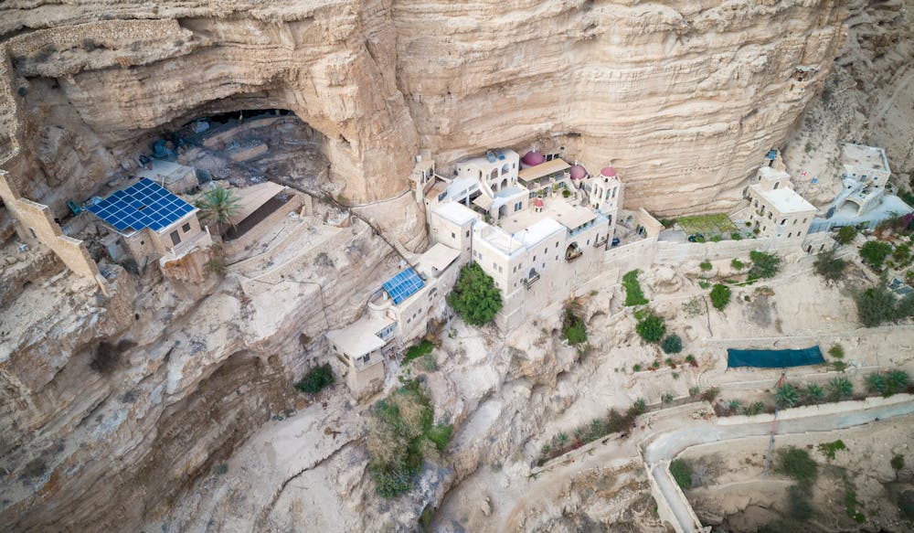
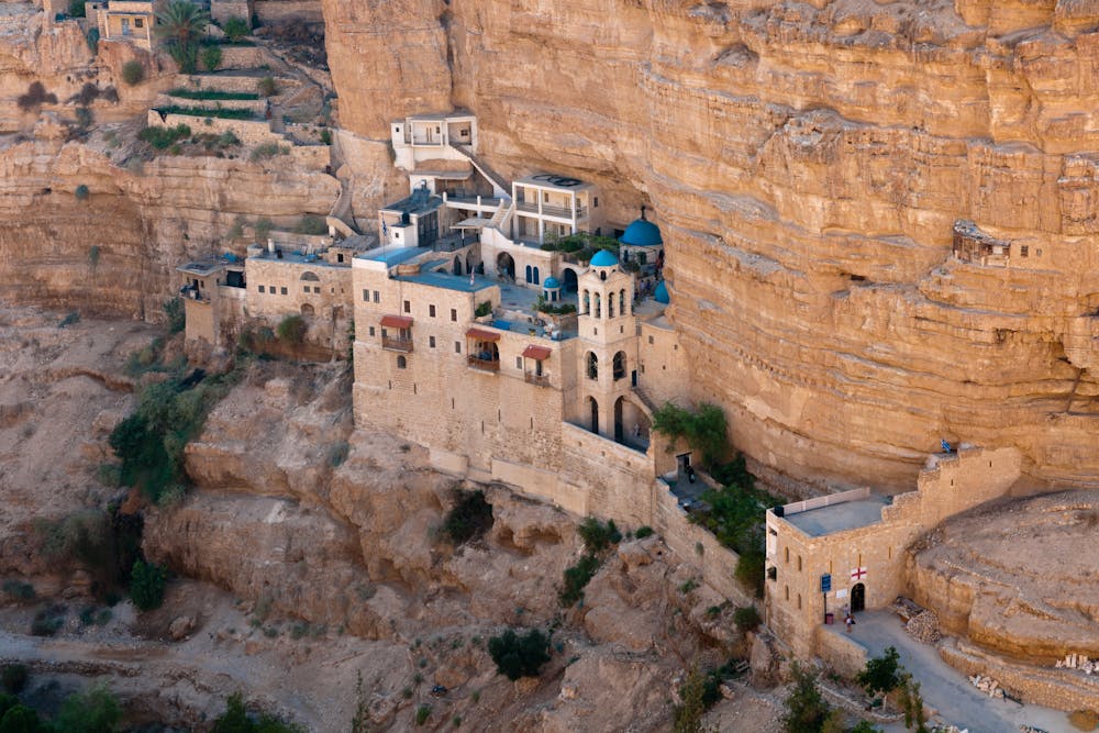
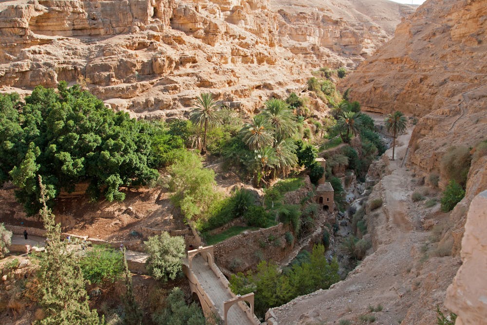
The hike begins at the famous Saint George Monastery, one of the most famous historical sites in this region of Israel. Saint George Monastery is a "cliff-hanging complex, which emerged from a lavra established in the 420s and reorganised as a monastery around AD 500," according to Wikipedia. Unlike most abandoned historical sites, the monastery is still "active and inhabited by Greek Orthodox monks." To reach the monastery, you can cross a narrow pedestrian bridge that spans the Wadi Qelt before continuing on with the rest of your hike.
The trails through the narrow valley of Wadi Qelt are ancient tracks dating back many thousands of years. The long habitation of this valley is due to the lush vegetation found at the bottom along the stream. Natural springs further up the valley feed the stream, making it one of the most reliable water sources in the region.
The route shown here is almost 21 kilometers round-trip, gaining about 757 vertical meters. As noted above, it can be extended... but it can also be shortened, too. You can choose your difficulty based on how far you wish to hike.
Sources: https://jessieonajourney.com/best-hikes-in-israel/ https://www.hike-israel.com/nature-in-israel/wadi-qelt/ https://en.wikipedia.org/wiki/MonasteryofSaintsJohnandGeorgeofChoziba https://en.wikipedia.org/wiki/WadiQelt
Difficult
Hiking trails where obstacles such as rocks or roots are prevalent. Some obstacles can require care to step over or around. At times, the trail can be worn and eroded. The grade of the trail is generally quite steep, and can often lead to strenuous hiking.

The trail contains some obstacles such as outcroppings and rock which could cause injury.

Little chance of being seen or helped in case of an accident.
4 routes · Hiking