Rundwanderung im Hochtal von Donovaly
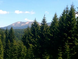
Leichte und aussichtsreiche Rundwanderung, geeignet für jede Jahreszeit.
Easy Hiking
- Distance
- 16 km
- Ascent
- 421 m
- Descent
- 420 m
Explore Banskobystrický with curated guides of the best routes. With over 3 3D trail maps in FATMAP, you can easily discover and navigate the best trails in Banskobystrický.
No matter what your next adventure has in store, you can find a guide on FATMAP to help you plan your next epic trip.
Get a top trail recommendation in Banskobystrický, or get inspired by the 3 local adventures uploaded by the FATMAP community. Start exploring now!
Leichte und aussichtsreiche Rundwanderung, geeignet für jede Jahreszeit.
Easy Hiking
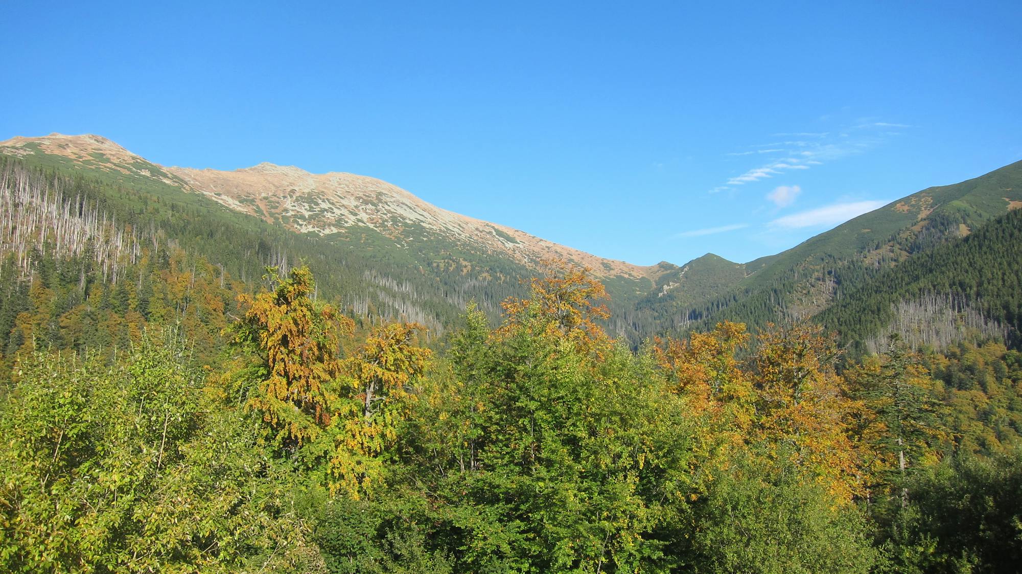
Kurze Nachmittagswanderung mit doch fast 600 Höhenmetern im Auf- und Abstieg zum Sonnenuntergang und Einkehrmöglichkeit in der schönen Berghütte M.R. Stefanika.
Moderate Hiking

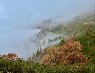
Stredny usek Ponitrianskej Magistraly
Moderate Hiking