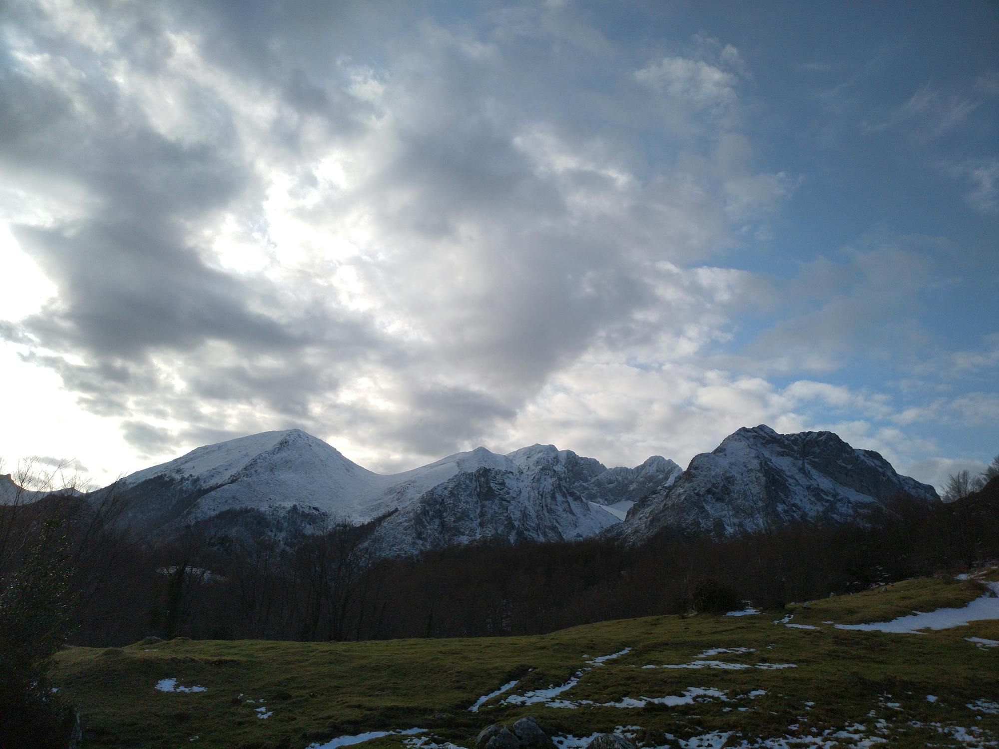
Ruta aproximada san isidro - Infiestu

ruta para hacer en btt aproximada
Moderate Hiking
- Distance
- 53 km
- Ascent
- 1.8 km
- Descent
- 3.1 km
Go hiking in Asturias with curated guides of the best hikes across the region. With over 25 3D trail maps in FATMAP, you can easily discover and navigate the best trails in Asturias.
No matter what your next adventure has in store, you can find a guide on FATMAP to help you plan your next epic trip.
Get a top hiking trail recommendation in Asturias, or get inspired by the 25 local adventures uploaded by the FATMAP community. Start exploring now!
ruta para hacer en btt aproximada
Moderate Hiking

A hard steep climb to the most remote refuge in Spain situated at 2040m in the spectacular Jou de Cabrones
Moderate Hiking

A spectacular but steep climb along a narrow path to Bulnes and then a gentler, steady climb through farm land to the Pandebano Col
Moderate Hiking

A gentle but continual climb from Lake Ercina through mountain pastures and limestone rocks to the Ario meadow and the Vega Ario refuge dramatically situated in front of the Central massif high above the Carres gorge.
Moderate Hiking

Another classic walk which gives an excellent feel of the higher mountains landscape as well as magnificent views most of the way. At the Ordiales viewpoint there is a sheer 1000 metre drop over the Angon Valley.
Moderate Hiking

A lovely walk with a long continual climb up to the largest refuge in the Picos de Europa with excellent mountain scenery all the way
Moderate Hiking