Carretera de Les Aigues from Funicular Mid-Station
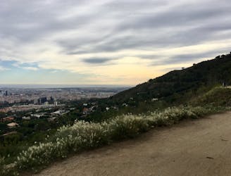
A mellow hike with beautiful views of Barcelona
Easy Hiking
- Distance
- 8 km
- Ascent
- 128 m
- Descent
- 128 m
Explore Barcelona with curated guides of the best hiking trails, mountain bike trails, trail running routes, and more. With over 41 3D trail maps in FATMAP, you can easily discover and navigate the best trails in Barcelona.
No matter what your next adventure has in store, you can find a guide on FATMAP to help you plan your next epic trip.
Get a top trail recommendation in Barcelona from one of our 3 guidebooks, or get inspired by the 41 local adventures uploaded by the FATMAP community. Start exploring now!
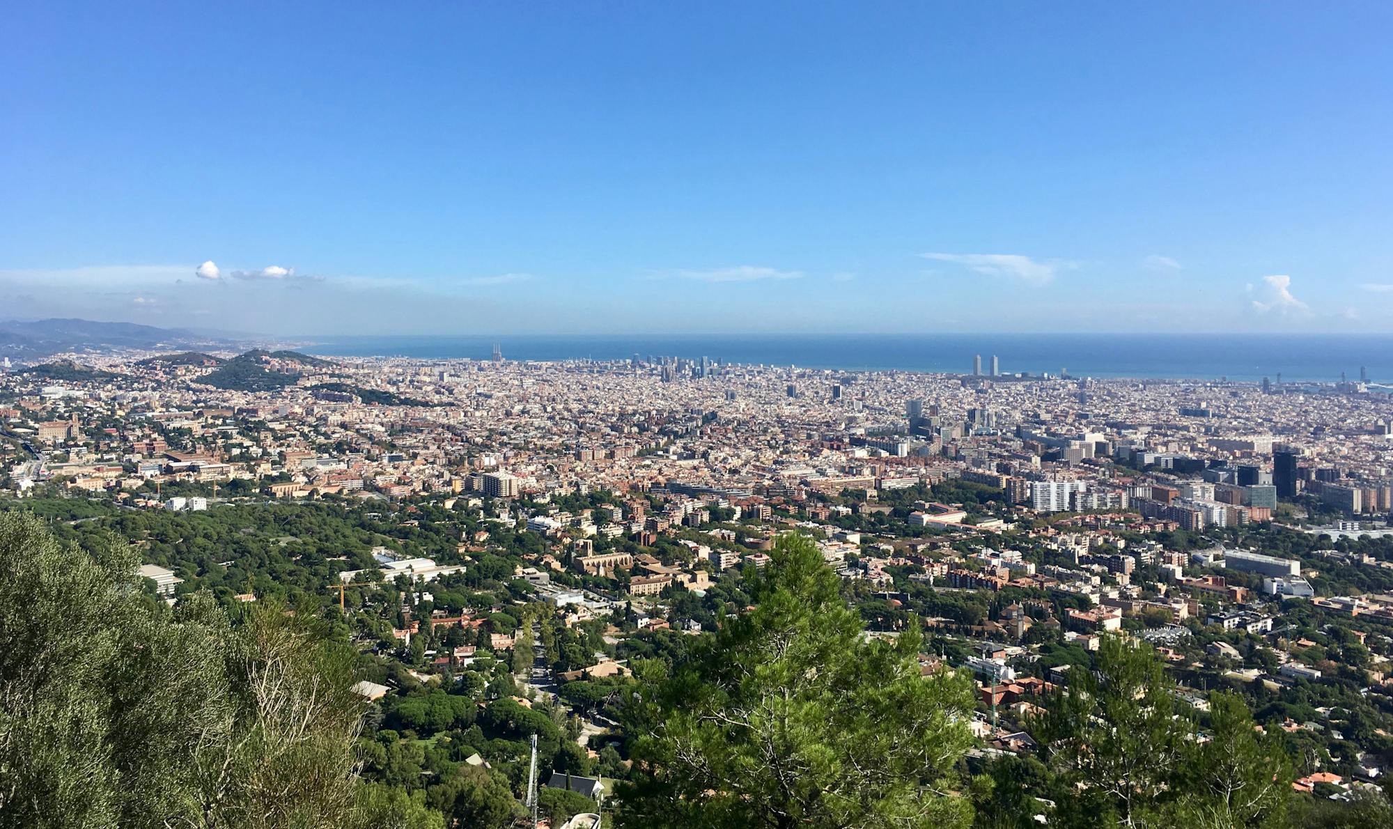
A mellow hike with beautiful views of Barcelona
Easy Hiking
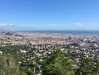
Pedal along a smooth gravel road with gorgeous views of Barcelona and the Mediterranean.
Easy Gravel Biking
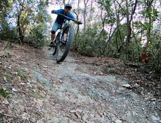
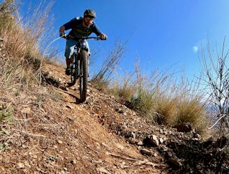
A flowy, intermediate-friendly descent.
Difficult Mountain Biking

An intermediate/advanced descent at the north end of Collserola.
Difficult Mountain Biking
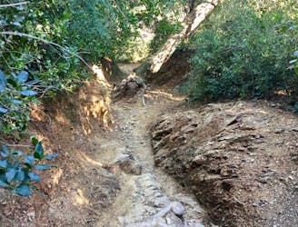
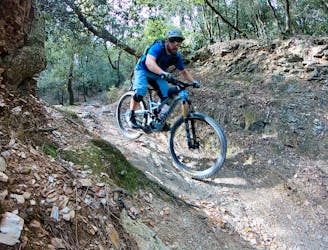
A technical test piece popular with the locals.
Extreme Mountain Biking

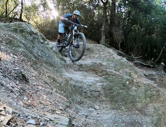
A demanding double black diamond descent down the nose of the mountain.
Extreme Mountain Biking
A delightful enduro ride deep in Collserola.
Severe Mountain Biking
An incredible enduro ride down three of the best descents in Collserola.
Extreme Mountain Biking
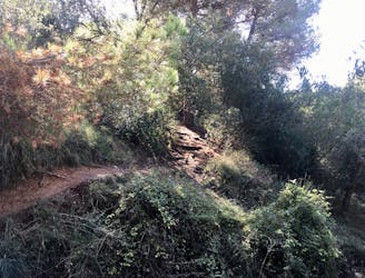
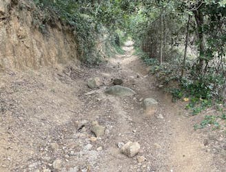
A short loop through the forest of Collserolla.
Moderate Hiking
A quick singletrack loop located right on the outskirts of Barcelona.
Severe Mountain Biking

Sant LLorenç Rocjumper
Moderate Hiking
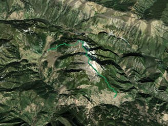
Ruta Gosol- Calderer(2500) - Saldes
Difficult Hiking

Es una ruta circular, la dificultad de la ruta es facil, hay poco desnivel y son 14,34 Km de distancia
Easy Hiking

Cim de les Agudes des de la Font de Passavets (per camí de Castellets)
Moderate Trail Running

A cross country singletrack starting La Nova Esquerra de l'Eixample.
Moderate Mountain Biking
Caminada circular molt suau de Cabrils a la Mútua
Easy Hiking