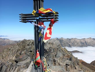
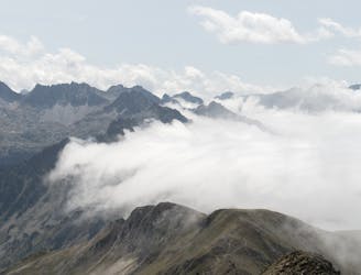
Porta del Ciel

Strenous roundtrip around Pic d´Estats
Difficult Hiking
- Distance
- 28 km
- Ascent
- 3.1 km
- Descent
- 2 km
Go hiking in Lérida with curated guides of the best hikes across the region. With over 119 3D trail maps in FATMAP, you can easily discover and navigate the best trails in Lérida.
No matter what your next adventure has in store, you can find a guide on FATMAP to help you plan your next epic trip.
Get a top hiking trail recommendation in Lérida from one of our 2 guidebooks, or get inspired by the 119 local adventures uploaded by the FATMAP community. Start exploring now!
Strenous roundtrip around Pic d´Estats
Difficult Hiking
Ruta Gosol- Calderer(2500) - Saldes
Difficult Hiking
14 km / 400 + / 1200 -
Difficult Hiking

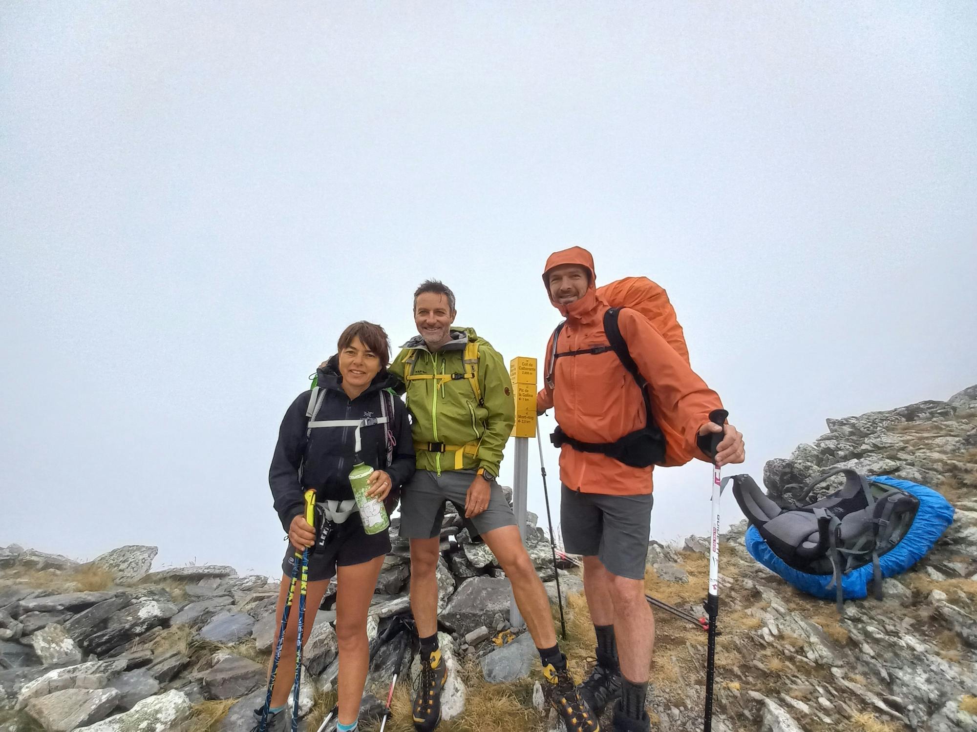
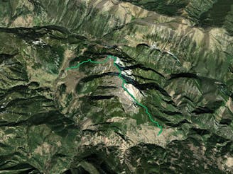
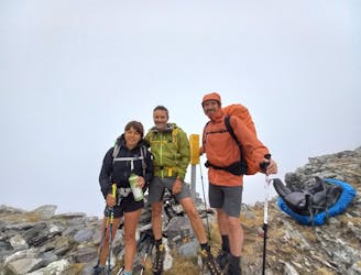
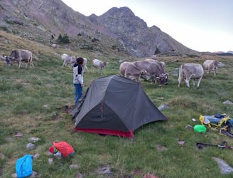
4e étape de la TransPyr 3, dans le secteur Pallars Sobira. Orange.Bel itinéraire de montagne, dans un secteur sauvage, agrémenté de l'ascension du pic de Certascan, joli promontoire à 2855 m.Le bivouac dans le cirque du Mont Rouch est sauvage, et nous a gratifié de la visite d'une harde de bouquetins.
Difficult Hiking
15 km / 900 + / 1000 -
Moderate Hiking
16 Km - 1400 / 1200 - / Très belle et grosse étape de haute montagne. Rouge.
Difficult Hiking
Hiking al Gran Encantat des del refugi Ernest Mallafré
Moderate Hiking
Een vijfdaagse magische tocht van samenwerkende herbergen vanuit La Pobla de Segur
Moderate Hiking
Cresta integral dels Besiberris i Comaloformo des de Conangles fent nit al refugi de Besiberri
Difficult Hiking
Ascensió a la Pica d'Estats des del Refugi de Vallferrera, pel Port de Sotllo, tram final per la Cresta
Difficult Hiking
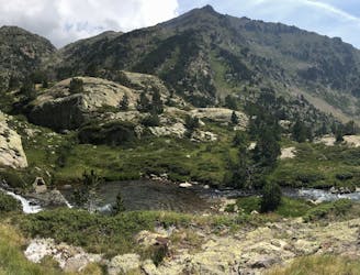
A riche experience along mountain lakes and a nice summit
Moderate Hiking
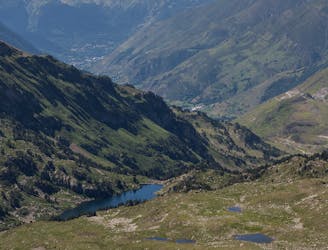
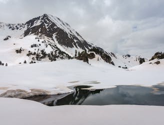
Walk up to a really authentic mountain lake area
Moderate Hiking
Walk up to one to the Freeride World Tour coolest stages
Moderate Hiking
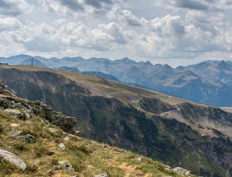
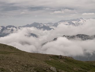
Walk up to a pic with amazing views in all directions
Moderate Hiking
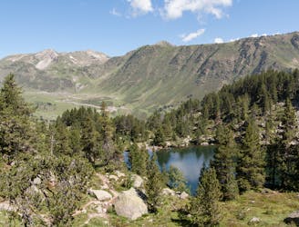
Walk up and discovery of a beautiful group of mountain lakes
Moderate Hiking
Walk up through summits and wild mountain valleys
Moderate Hiking