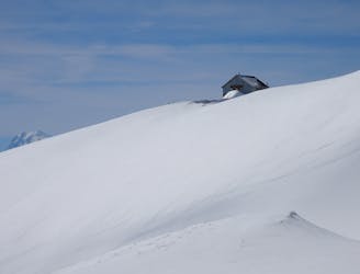
Bisse de Vercorin et Ricard via Vallon de Rechy
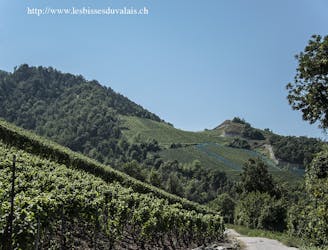
A fantastic journey through alpine terrain along two historical bisses
Difficult Hiking
- Distance
- 17 km
- Ascent
- 370 m
- Descent
- 1.3 km
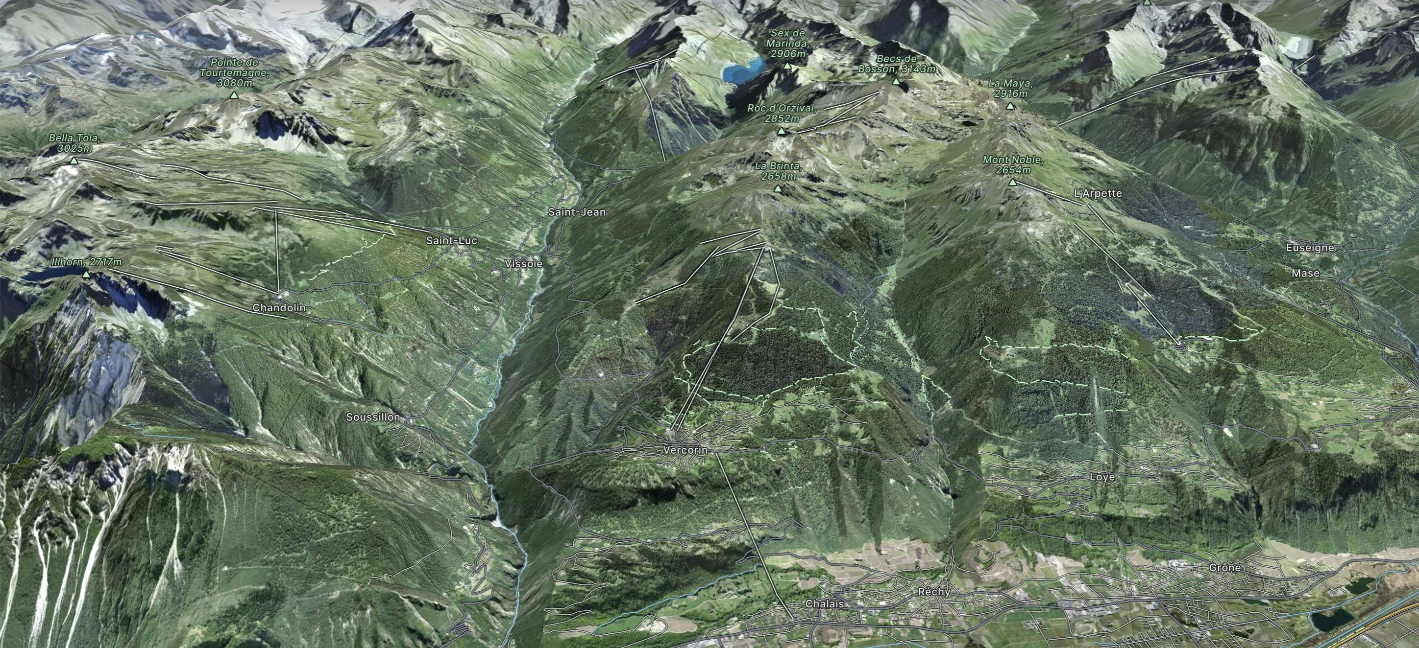
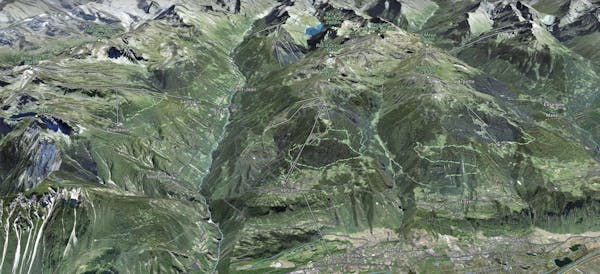
Vercorin, Grimentz area
Explore Vercorin with curated guides of the best routes. With over 3 3D trail maps in FATMAP, you can easily discover and navigate the best trails in Vercorin.
No matter what your next adventure has in store, you can find a guide on FATMAP to help you plan your next epic trip.
Get a top trail recommendation in Vercorin from one of our 1 guidebooks, or get inspired by the 3 local adventures uploaded by the FATMAP community. Start exploring now!
A fantastic journey through alpine terrain along two historical bisses
Difficult Hiking
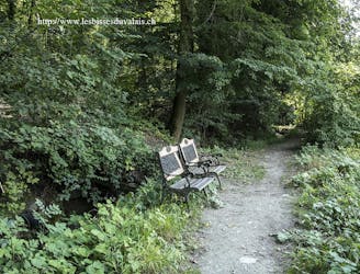
A shady walk at low altitude without any particular challenges as long as you don’t venture beyond the path back to Chippis, where the bisse turns into the Val d’Anniviers along the bed of the Navizence.
Easy Hiking
A scenic ski tour in Switzerland’s stunning Valais region.
Difficult Ski Touring
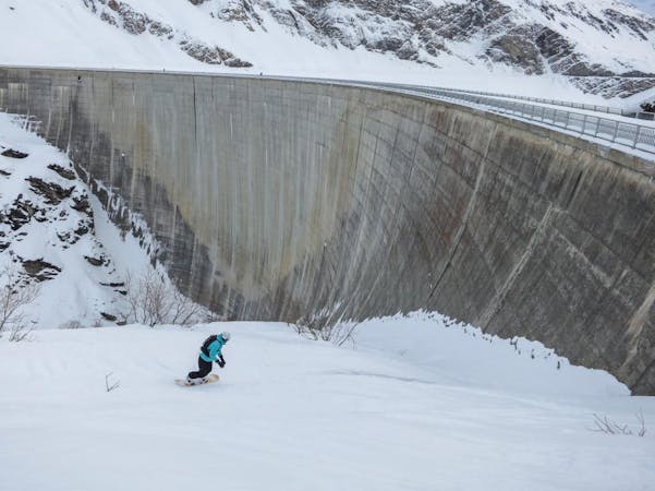
2 routes · Freeride Skiing · Ski Touring