Le Jorat - refuge de Pierredar - via ferrata des Dames Anglaises - Glacier 3000
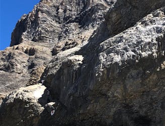
Challenging hike and via ferrata
Severe Hiking
- Distance
- 7.7 km
- Ascent
- 1.8 km
- Descent
- 26 m

Go hiking in Villars/Gryon/Les Diablerets with curated guides of the best hikes across the region. With over 3 3D trail maps in FATMAP, you can easily discover and navigate the best trails in Villars/Gryon/Les Diablerets.
No matter what your next adventure has in store, you can find a guide on FATMAP to help you plan your next epic trip.
Get a top hiking trail recommendation in Villars/Gryon/Les Diablerets, or get inspired by the 3 local adventures uploaded by the FATMAP community. Start exploring now!

Challenging hike and via ferrata
Severe Hiking