9 routes · Hiking
Go hiking in East Dunbartonshire with curated guides of the best hikes across the region. With over 5 3D trail maps in FATMAP, you can easily discover and navigate the best trails in East Dunbartonshire.
No matter what your next adventure has in store, you can find a guide on FATMAP to help you plan your next epic trip.
Get a top hiking trail recommendation in East Dunbartonshire, or get inspired by the 5 local adventures uploaded by the FATMAP community. Start exploring now!
9 routes · Hiking
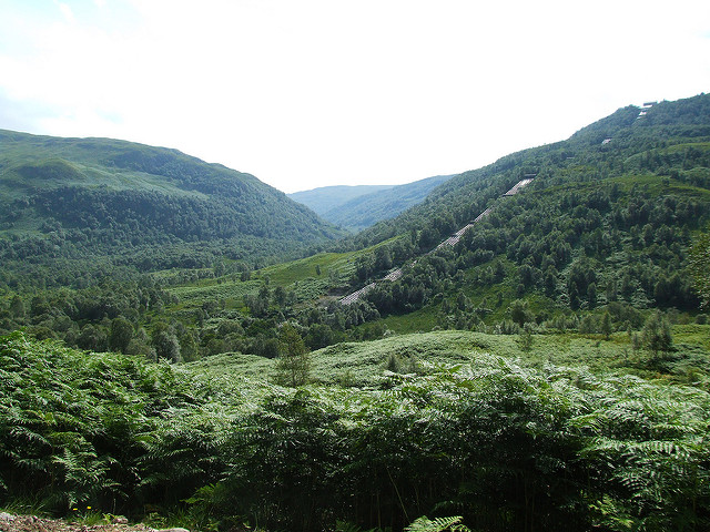
A wonderful journey through the rugged and wild mountains of the Scottish Highlands.
Difficult Hiking

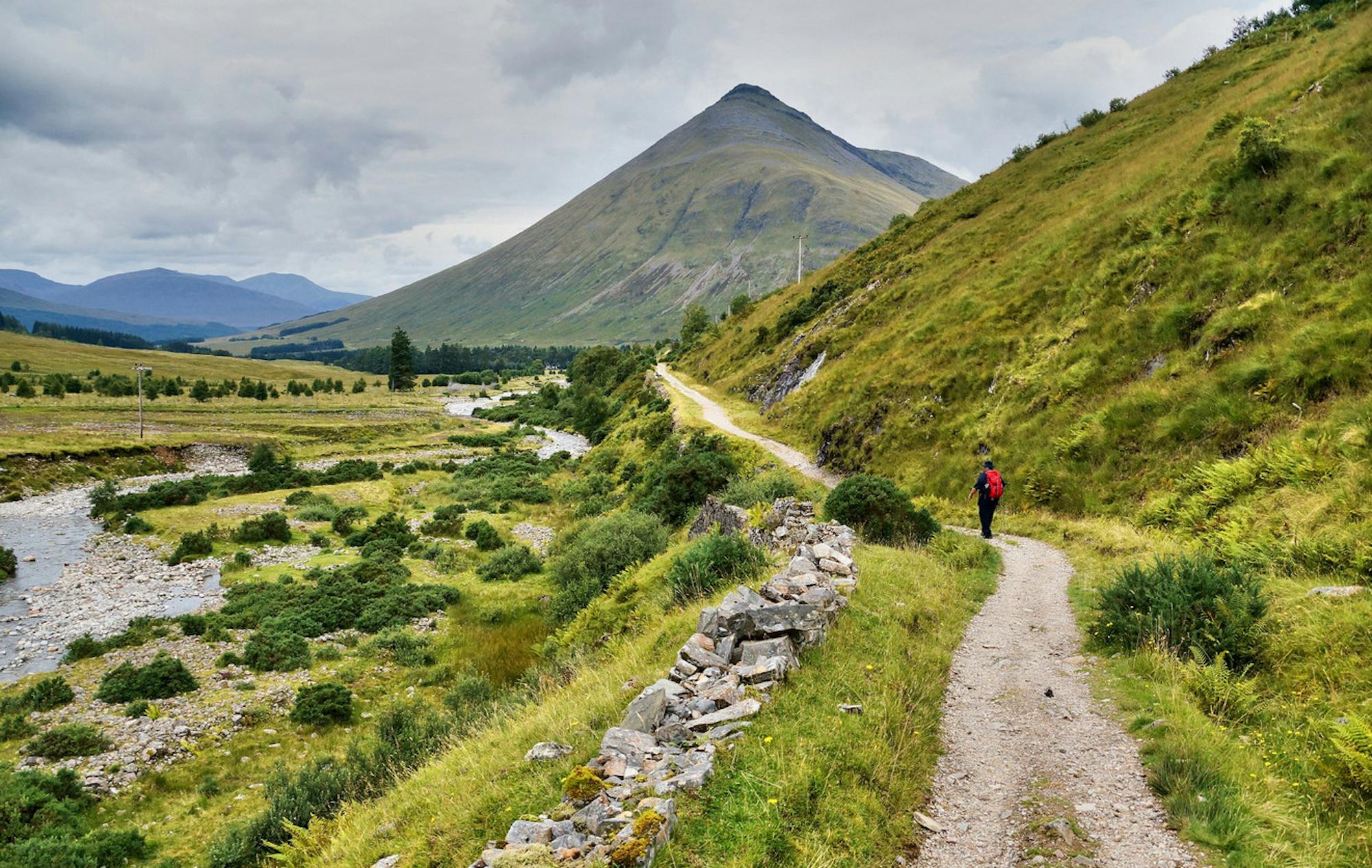
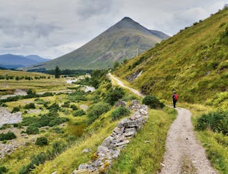
The beginning of West Highland Way, heading northward from Milngavie to the first of many natural lochs along the trail, among hillier and muddier terrain.
Easy Hiking

The last of towpath walking if northbound on the trail, this section traces Forth & Clyde Canal through historic Kirkintilloch, then leaves the canal for countryside and golf courses en route to Milngavie.
Easy Hiking