
4 routes
Go hiking in Northumberland with curated guides of the best hikes across the region. With over 7 3D trail maps in FATMAP, you can easily discover and navigate the best trails in Northumberland.
No matter what your next adventure has in store, you can find a guide on FATMAP to help you plan your next epic trip.
Get a top hiking trail recommendation in Northumberland from one of our 1 guidebooks, or get inspired by the 7 local adventures uploaded by the FATMAP community. Start exploring now!
4 routes
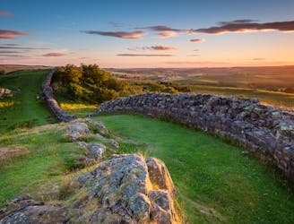
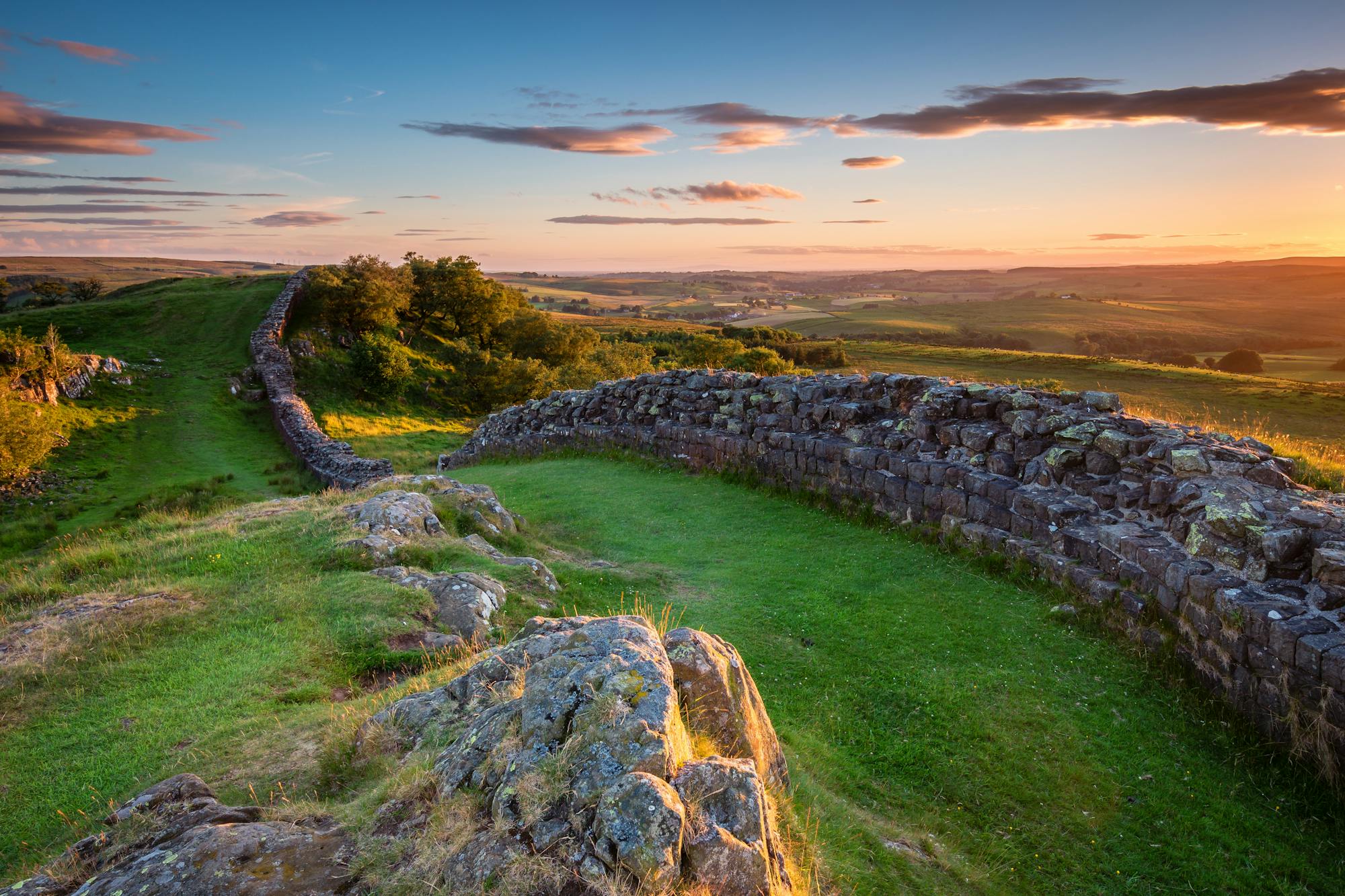
Follow the entire length of a UNESCO World Heritage Site and pass some wonderful scenery on the way
Moderate Hiking
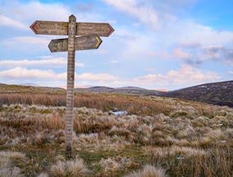
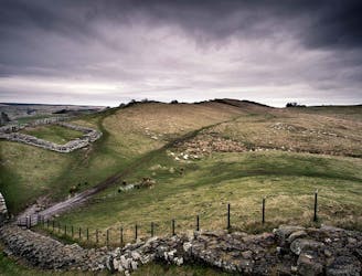
The wonders of the Cheviot Hills reveal themselves over 2 glorious days
Difficult Hiking
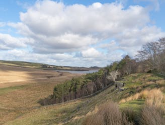
Gorgeous forests and moors lead you into the glorious Cheviot Hills
Moderate Hiking
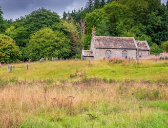
A wonderful walk through some fascinating historical landmarks
Difficult Hiking
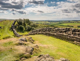
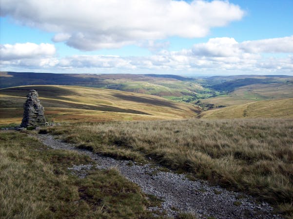
Honestly, this isn't a classic Pennine Way day but it's a necessary linking section which takes you to Hadrian's Wall
Moderate Hiking
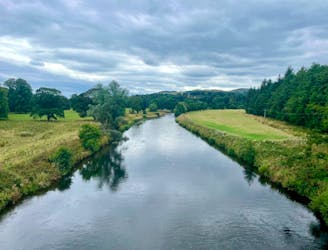
The route covers the full length of the River Tweed that, for a number of miles, acts as the border between Scotland and England.
Difficult Hiking
Chollerford to Birdoswald Fort, Northumberland and Cumbria
Moderate Hiking
15 routes · Hiking