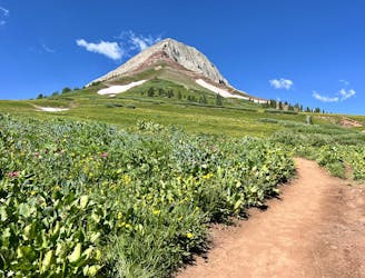
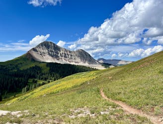
Perins Peak
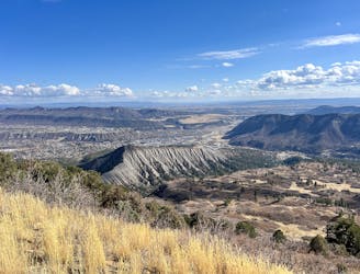
The most popular route to the top of Perins Peak, beginning in Rockridge.
Difficult Trail Running
- Distance
- 9 km
- Ascent
- 474 m
- Descent
- 474 m
Go trail running in Durango with curated guides of the best trail runs across the region. With over 100 3D trail maps in FATMAP, you can easily discover and navigate the best trails in Durango.
No matter what your next adventure has in store, you can find a guide on FATMAP to help you plan your next epic trip.
Get a top trail running recommendation in Durango from one of our 15 guidebooks, or get inspired by the 100 local adventures uploaded by the FATMAP community. Start exploring now!
The most popular route to the top of Perins Peak, beginning in Rockridge.
Difficult Trail Running
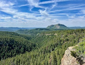
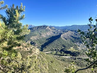
A quick run to a beautiful vista over Durango.
Moderate Trail Running
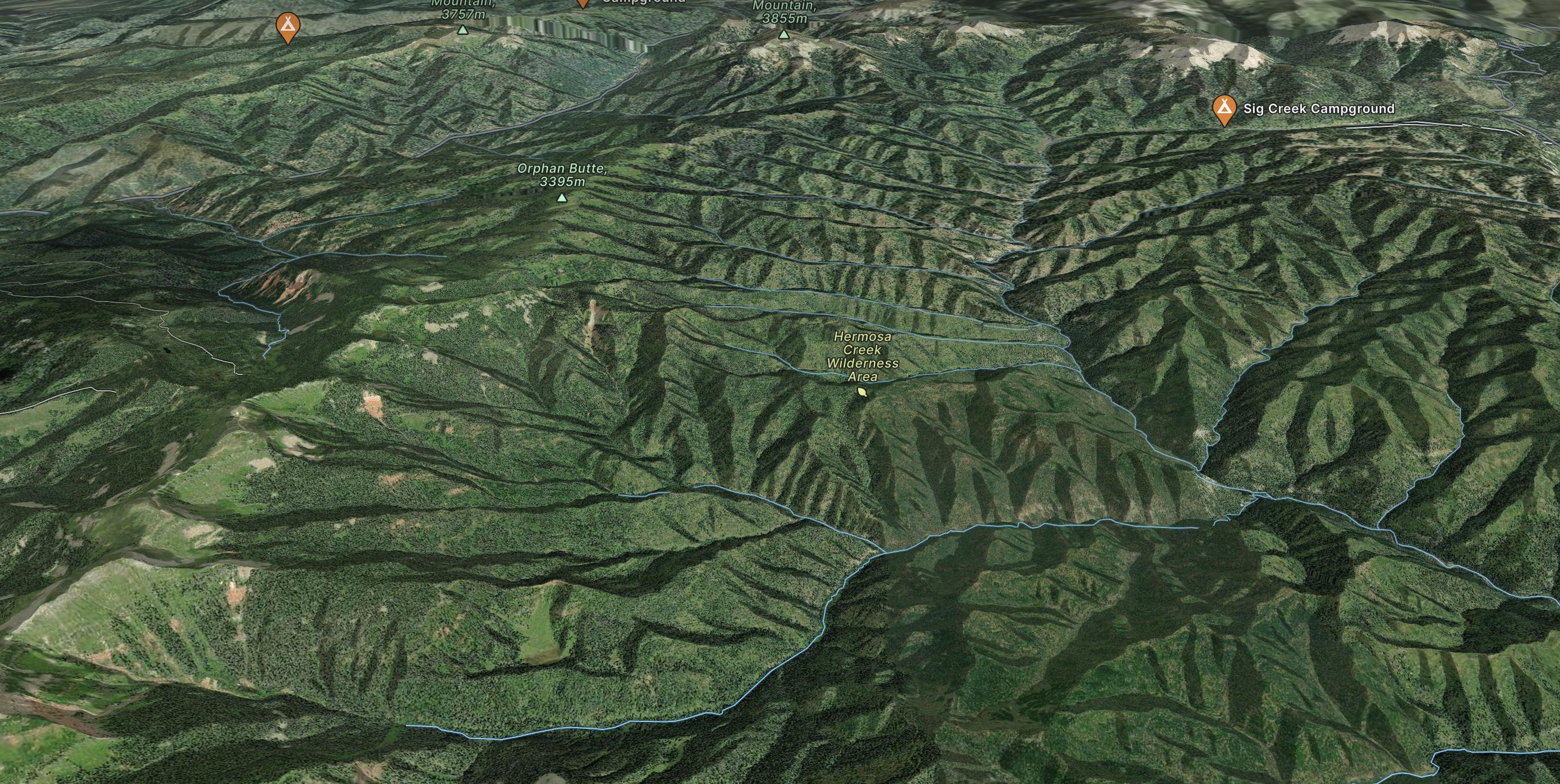
A popular conduit into the alpine.
Moderate Trail Running
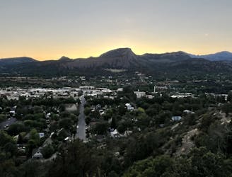
A popular Durango trail run to a gorgeous viewpoint.
Moderate Trail Running
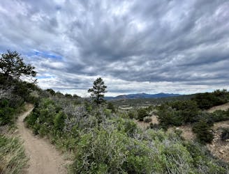
A great trail run heading high into the hills above Durango.
Moderate Trail Running
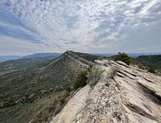
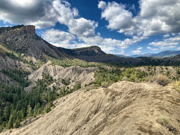
Run to an incredible 360-degree view from Pautskey Point.
Difficult Trail Running
A high-value alpine loop run easily accessible from the Million Dollar Highway.
Moderate Trail Running
While Smelter Mountain is known as one of Durango's classic in-town trails, the ascent is far from easy.
Difficult Trail Running
7 routes · Trail Running