CDT: Copper Mountain (CO-91) to Herman Gulch (I-70)
A 67-mile section of the CDT ideal as a section hike ending with one of Colorado's best 14ers - Grays Peak.
Severe Hiking
- Distance
- 108 km
- Ascent
- 5.1 km
- Descent
- 5 km
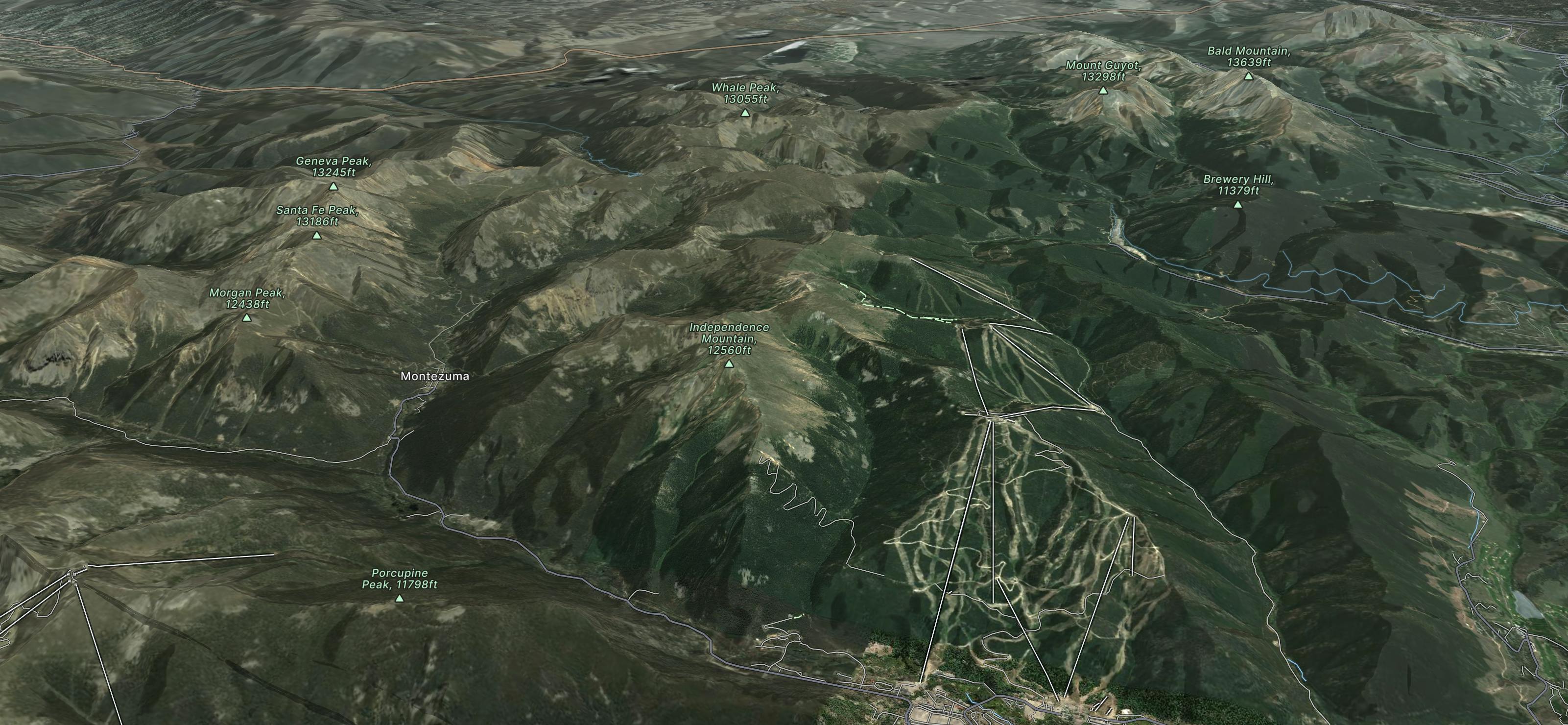
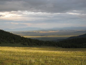
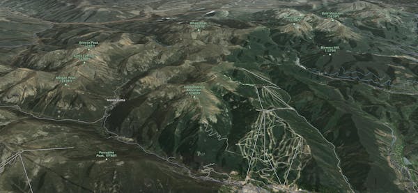
The largest mountain in Summit County offering 3,148 skiable acres, 20 lifts and two gondolas, all nestled at the foot of 2 unique villages.
Go hiking in Keystone with curated guides of the best hikes across the region. With over 41 3D trail maps in FATMAP, you can easily discover and navigate the best trails in Keystone.
No matter what your next adventure has in store, you can find a guide on FATMAP to help you plan your next epic trip.
Get a top hiking trail recommendation in Keystone from one of our 7 guidebooks, or get inspired by the 41 local adventures uploaded by the FATMAP community. Start exploring now!
A 67-mile section of the CDT ideal as a section hike ending with one of Colorado's best 14ers - Grays Peak.
Severe Hiking

10 routes · Hiking

40 routes · Hiking