CDT: Cumbres Pass (CO-17) to Wolf Creek Pass (US-160)
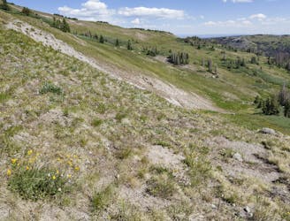
Begin your journey through the southern San Juans, where alpine terrain and high mountain lakes abound.
Difficult Hiking
- Distance
- 111 km
- Ascent
- 3.4 km
- Descent
- 3.2 km
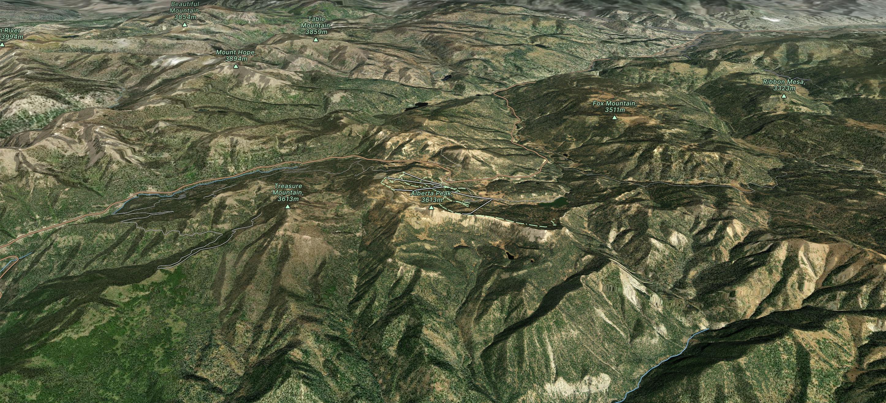
Located in the San Juan and Rio Grande national forest between Pagosa Springs and South Fork, Colorado, Wolf Creek Ski Area is known to have “The Most Snow in Colorado”.
Go hiking in Wolf Creek with curated guides of the best hikes across the region. With over 2 3D trail maps in FATMAP, you can easily discover and navigate the best trails in Wolf Creek.
No matter what your next adventure has in store, you can find a guide on FATMAP to help you plan your next epic trip.
Get a top hiking trail recommendation in Wolf Creek from one of our 3 guidebooks, or get inspired by the 2 local adventures uploaded by the FATMAP community. Start exploring now!
Begin your journey through the southern San Juans, where alpine terrain and high mountain lakes abound.
Difficult Hiking

10 routes · Hiking

40 routes · Hiking