Our Condolences

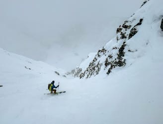
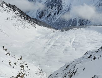
An extreme line off the summit of Sir Donalds.
Extreme Freeride Skiing
- Distance
- 3.3 km
- Ascent
- 0 m
- Descent
- 1.9 km
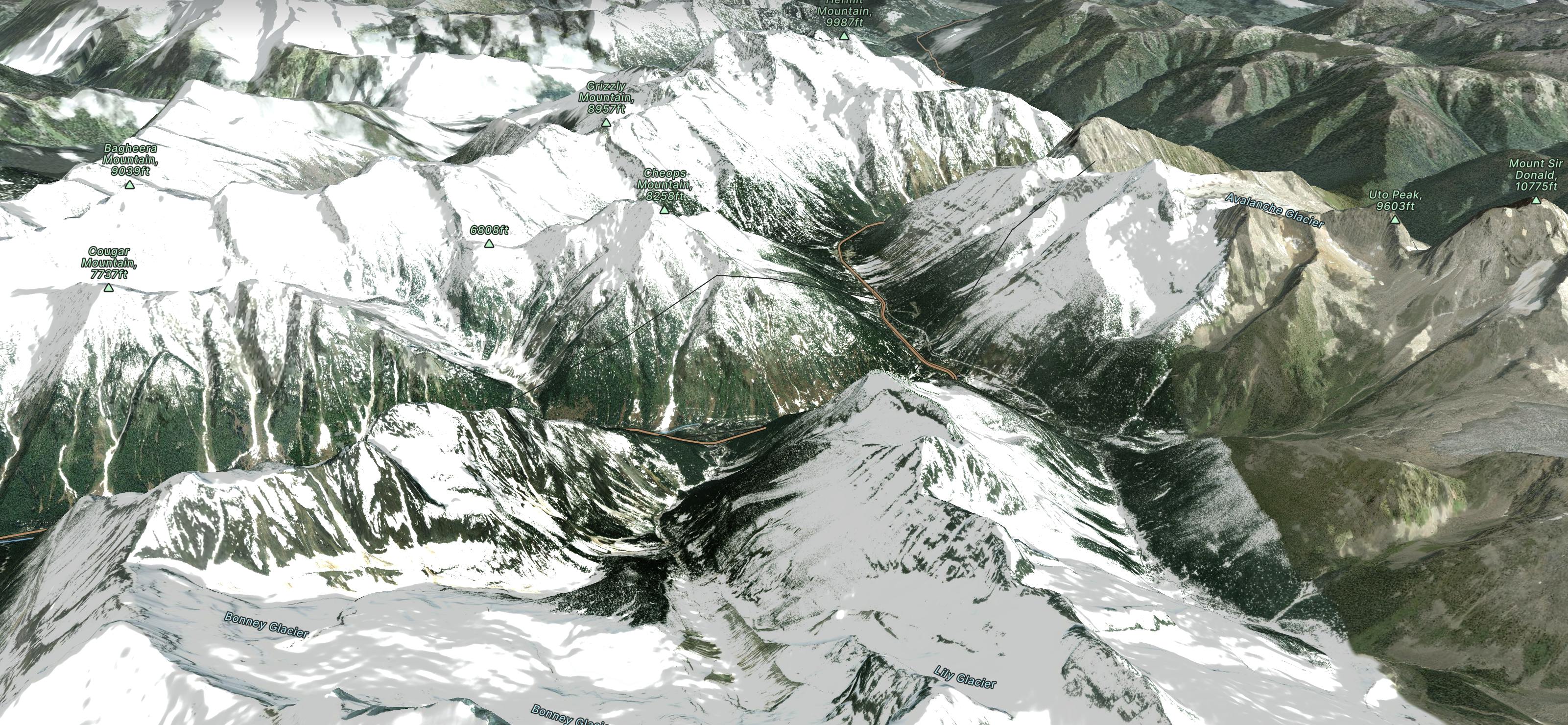
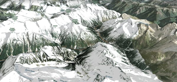
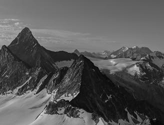
Explore Glacier National Park (Canada) with curated guides of the best ski routes, and more. With over 38 3D trail maps in FATMAP, you can easily discover and navigate the best trails in Glacier National Park (Canada).
No matter what your next adventure has in store, you can find a guide on FATMAP to help you plan your next epic trip.
Get a top trail recommendation in Glacier National Park (Canada) from one of our 2 guidebooks, or get inspired by the 38 local adventures uploaded by the FATMAP community. Start exploring now!
An extreme line off the summit of Sir Donalds.
Extreme Freeride Skiing
A fairly imposing line that puts you rather "out there"!
Severe Ski Touring
Couloir+Open alpine face link up, with optional second couloir off the Ursus Minor Col.
Difficult Ski Touring
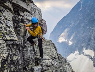
The grande course scramble traverse of Roger's Pass
Difficult Alpine Climbing

Great skiing on terminal moraines in the Loop Brook area
Easy Ski Touring
A long day enchaining the peaks between Avalanche and Young's!
Severe Trail Running