4.9 km away
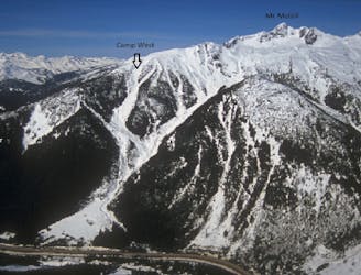
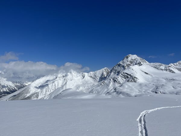
Mount Cheops North Face
The plum steep ski line of Mount Cheops
Extreme Ski Touring
- Distance
- 1.3 km
- Ascent
- 170 m
- Descent
- 742 m
A fairly imposing line that puts you rather "out there"!
Ski Touring Severe

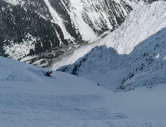
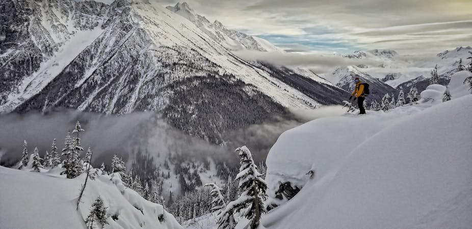
Bagheera isn't SUPER deep in the mountains of Roger's Pass but it's definitely not roadside. After climbing up Balu Pass, we dropped into the Cougar Brook drainage and skinned towards the south face. This is pretty big as well and takes full sun. We had good stability so felt confident booting up the route. After some arguing about which col to head for (solved with FATMAP), we arrived at the ridge and belayed out onto the cornice for a look.
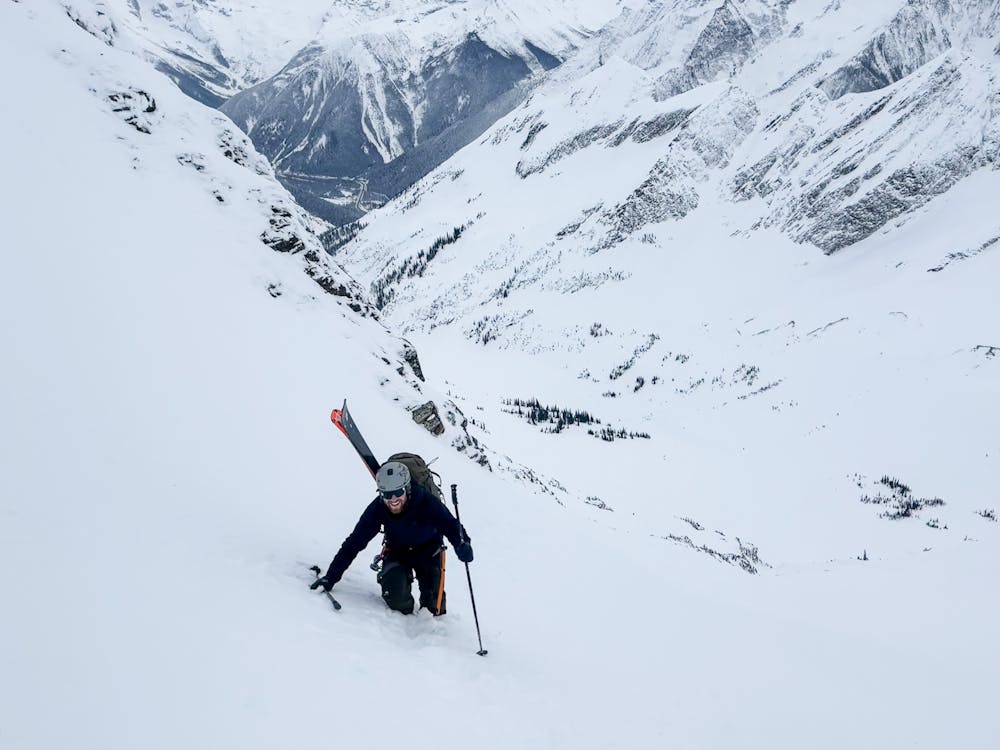
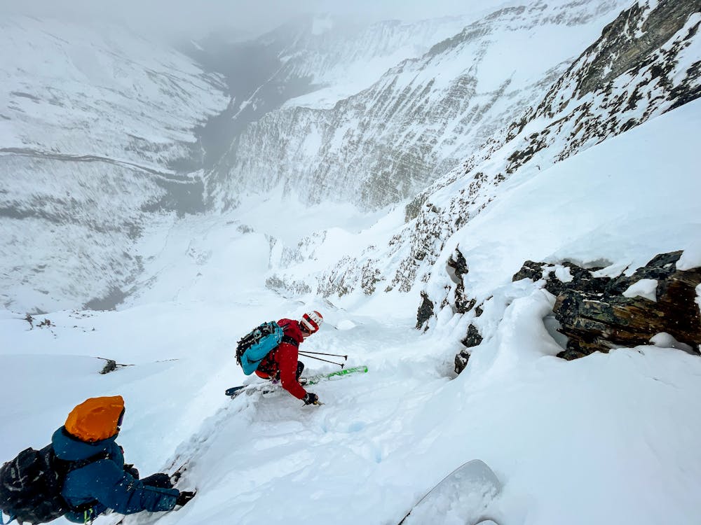
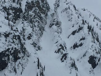
Immediately the line down the north face was apparent and looked incredible. At the same time, we could see the storm forecast building to the north west. We went to work building a rock anchor and setting up to belay each skier in one by one. The line starts on a bit of a face studded with rocks and over looking huge exposure. Having the confidence of the rope to make those first few turns was massive. We regrouped on a safe spot and continued making careful turns down into the couloir proper.
Here we found a cornice collapse had scoured the couloir and created very firm conditions to start. Ice axes out, we picked our way down to where the angle eased and the snow improved.
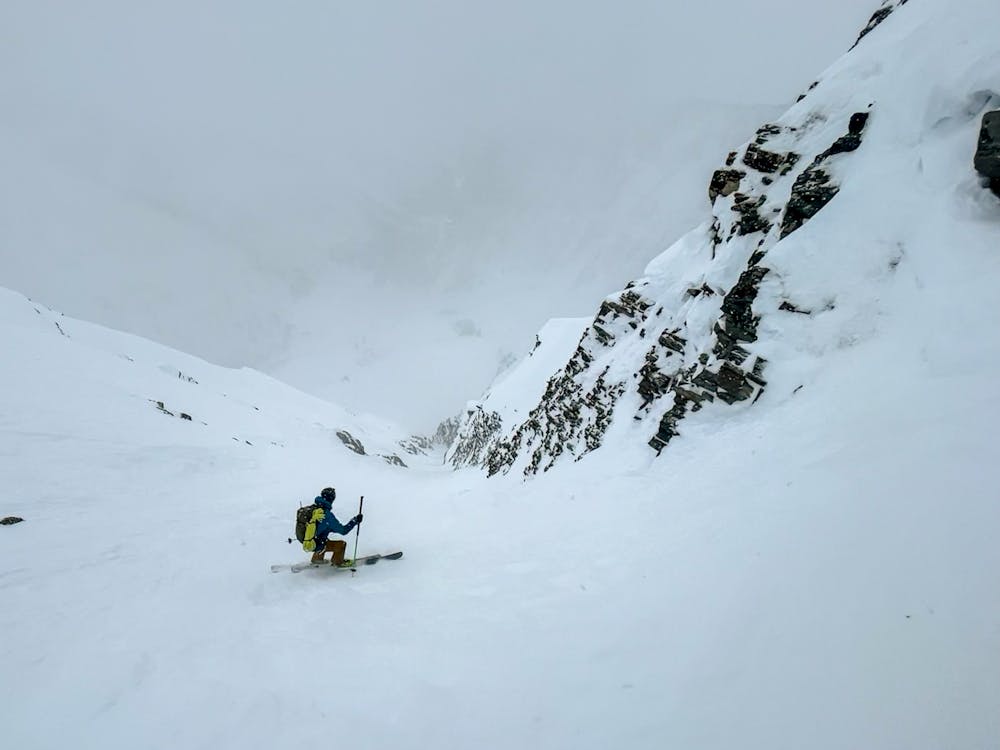
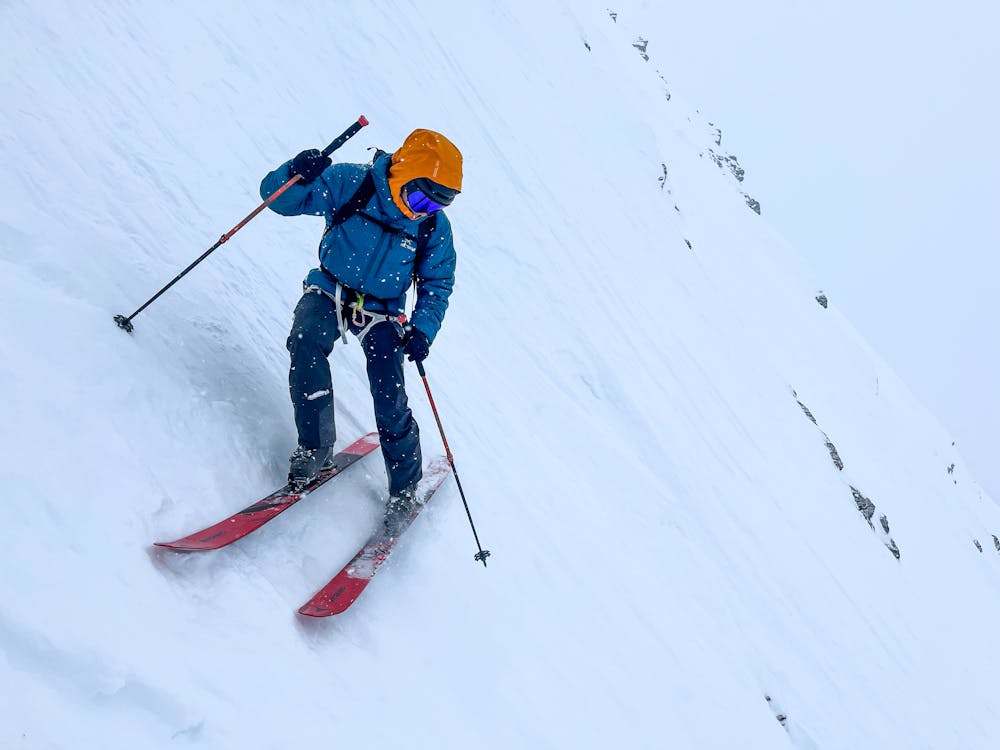
A final choke at the bottom of the couloir was too tight to ski so we took turns "down climbing" it with our skis on using ice axes. Now we had glorious turns down the apron and into the valley bottom remaining.
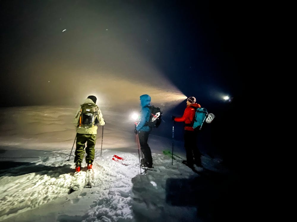
Our exit involved skinning up Casualty Creek to a pass and into the ensuing storm and darkness of night. We crossed the pass and started blindly picking our way down Bostock Creek to the Bostock Parking area, again relying primarily on FATMAP to navigate through the terrain. This was an excellent trip on a naturally beautiful line and one I'd highly recommend!
Severe
Steep skiing at 38-45 degrees. This requires very good technique and the risk of falling has serious consequences.

In case of a fall, death is highly likely.
Little chance of being seen or helped in case of an accident.
4.9 km away
The plum steep ski line of Mount Cheops
Extreme Ski Touring
6.5 km away
900m of falline avalanche path skiing near the Bostock Trail
Moderate Ski Touring
6.5 km away
The ultimate Rogers-Revelstoke traverse
Extreme Ski Touring
6.5 km away
A Rogers Pass Classic! A 1250m descent down a big mountain slide path.
Difficult Ski Touring
7.2 km away
1400m of exposed, convoluted couloir skiing
Severe Ski Touring
8 km away
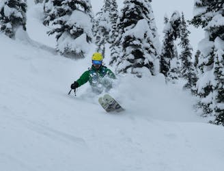
Entry Level Steep Skiing
Difficult Ski Touring
8 km away
A true Rogers Pass classic
Difficult Ski Touring
8 km away
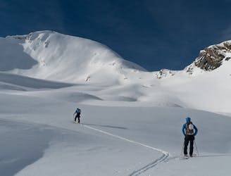
A mellow but exposed walk up the Connaught Valley
Moderate Ski Touring
8 km away
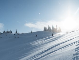
Pillow-y tree skiing along the western shoulder of Grizzly Mountain
Moderate Ski Touring
8 km away
An absolutely massive face of sustained 40-50° skiing that lasts for more than 400m
Severe Ski Touring
7 routes · Ski Touring
28 routes · Freeride Skiing · Ski Touring