2 m away
Catamount Peak East Face
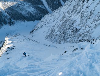
An absolutely massive face of sustained 40-50° skiing that lasts for more than 400m
Severe Ski Touring
- Distance
- 19 km
- Ascent
- 2.1 km
- Descent
- 2.1 km
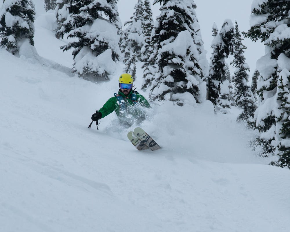
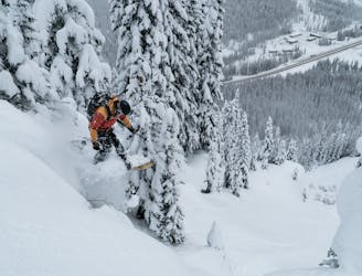
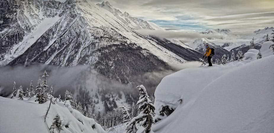
Pillow-y tree skiing along the western shoulder of Grizzly Mountain
Ski Touring Moderate
For a deeper dive into the route and some detailed terrain photos, check out the post on Beyond Our Peak: https://beyondourpeak.com/teddy-bear-trees-storms-avalanche-closures/
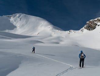
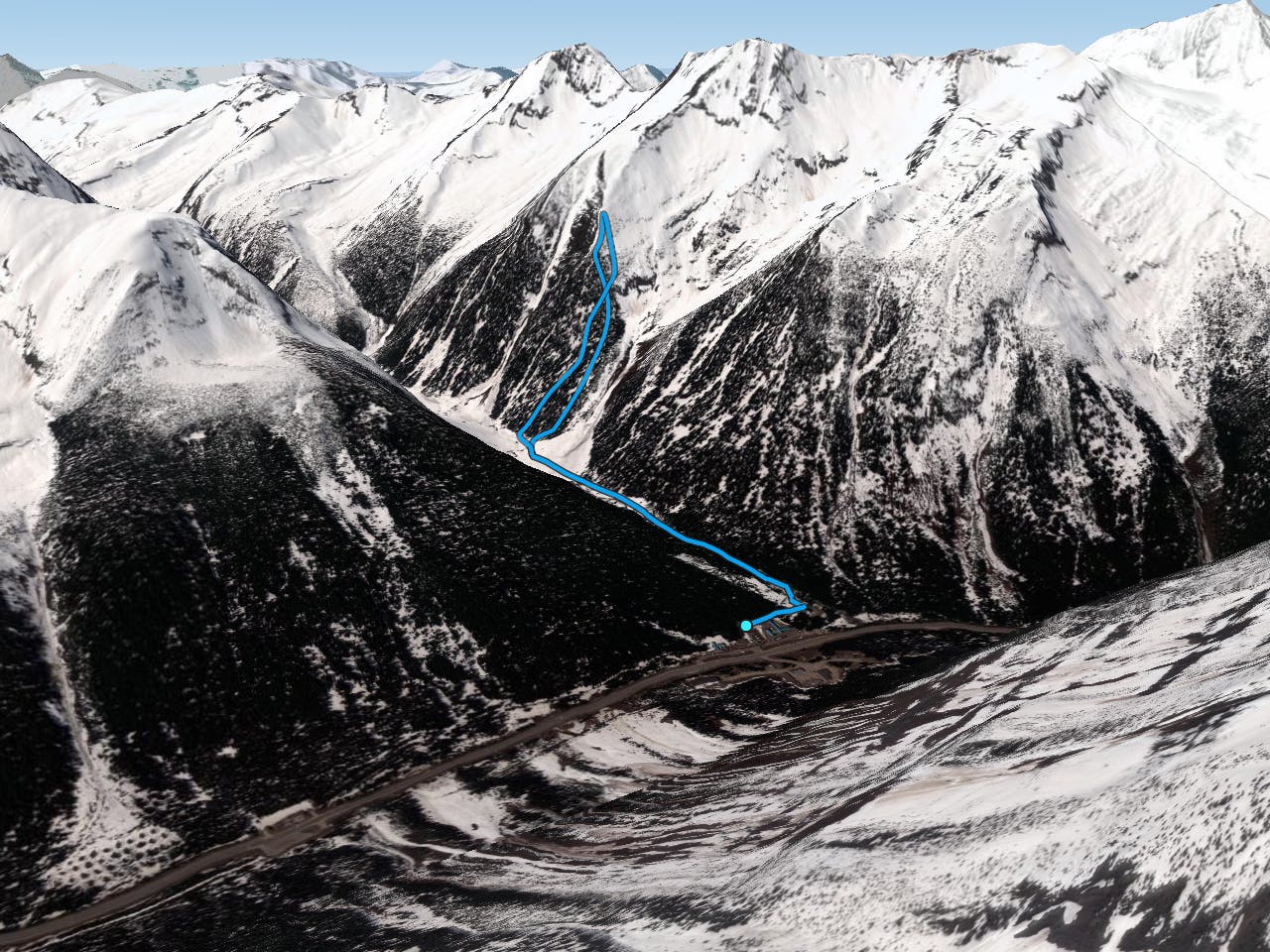
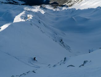
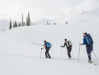
Teddy Bear Trees, located in Rogers Pass (Glacier National Park), offers an excellent continuous descent that weaves through sparse trees, mature timber and open clearings. If you can handle being exposed to the Grizzly Slidepath (which avalanches every few storm cycles), the area is perfect for conservative storm skiing while the Winter Restricted Areas (WRA) are closed due to highway avalanche control. From the Rogers Pass Discovery Center, it takes less than 35 minutes to reach the base of the shoulder. Don’t be fooled by the stellar accessibility of Teddy Bear Trees. The steeper, eastern pitch is classic avalanche terrain with a 35-degree incline and a dangerous terrain trap at its base. On top of that, it runs out into the Grizzly Slidepath.
Starting at the Discovery Center, glide up the Balu Pass Trail along Connaught Creek. When the snowpack is deep enough, it's possible to take the winter route along the creek's north bank which considerably shortens the trip. However, the route exposes you to the very large Grizzly Slidepath which runs every once in a while. Climb the steep treed pitch up the westmost shoulder of Grizzly Mountain. Beware of this slope as it harbours some big cliffs and unsupported pillows. Make your way to treeline where the ridge narrows. From its crest, drop into the lee slope to the SE or stick to the ridge where you'll find bigger cliffs. Beware, the foot of the SE pitch terminates in steep, rocky gullies and overgrown alders. It's best to head to the skier's right into the mature timber above the gullies and descend through the open clearings. Slide back to the parking lot along Connaught Creek (the way you ascended).
Moderate
Slopes become slightly steeper at around 25-30 degrees.

As well as the slope itself, there are some obstacles (such as rock outcrops) which could aggravate injury.
Away from help but easily accessed.
2 m away
An absolutely massive face of sustained 40-50° skiing that lasts for more than 400m
Severe Ski Touring
3 m away
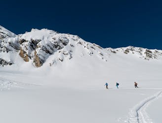
A mellow but exposed walk up the Connaught Valley
Moderate Ski Touring
5 m away
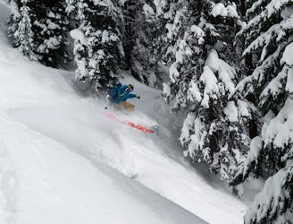
A pillowy goldmine of a run with more than 1000m of powdery falline descent
Difficult Ski Touring
5 m away
A steep descent into the lesser-known Ursus Valley and the Bruins Glacier
Difficult Ski Touring
5 m away
A naturally gladed, easily-accessible skier's paradise on the Grizzly Shoulder
Moderate Ski Touring
20 m away
A 700-meter north-facing couloir from the Cheops West Ridge
Severe Ski Touring
26 m away
Simple Touring but Complex Terrain In Rogers Pass
Moderate Ski Touring
41 m away
Easy to moderate ski tour with a summit & 1500m ski descent.
Moderate Ski Touring
91 m away
A true Rogers Pass classic
Difficult Ski Touring
108 m away
Classic treeskiing in Connaught Creek
Moderate Ski Touring
7 routes · Ski Touring
28 routes · Freeride Skiing · Ski Touring