Puff Daddy
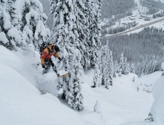
A pillowy goldmine of a run with more than 1000m of powdery falline descent
Difficult Ski Touring
- Distance
- 6.2 km
- Ascent
- 1 km
- Descent
- 1 km
A naturally gladed, easily-accessible skier's paradise on the Grizzly Shoulder
Ski Touring Moderate

For a deeper dive into the route and detailed terrain photos, check out the post on Beyond Our Peak: https://beyondourpeak.com/grizzly-trees-rogers-pass-easy-access-powder-turns/
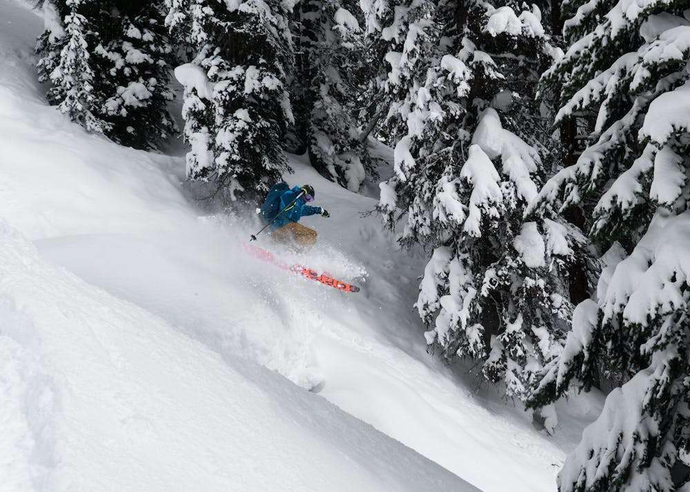
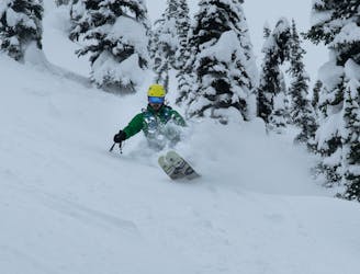
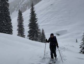
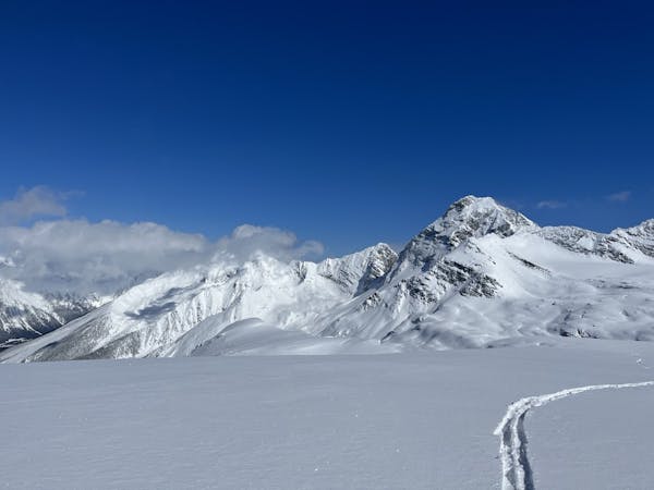
Grizzly Trees, located in Rogers Pass of Glacier National Park, is an incredible naturally gladed area, a mere 1.5km from the Rogers Pass Discovery Center (RPDC). From treeline skiing to pillow smashing, it's got it all! They are four main slide paths that offer excellent skiing with a slope inclination from 25 to 35 degrees. Beware, the name says it all. Those paths were carved over the years by frequent avalanches, clearing trees and bushes. Take great care when travelling through those slopes in the winter. All in all, Grizzly Trees presents itself as an awesome bargain trading a quick ascent for a 650m descent that can easily be lapped in a day.
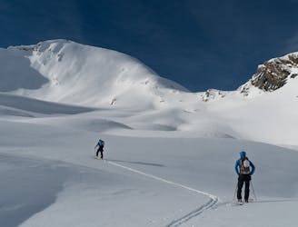
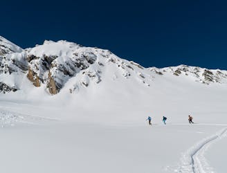
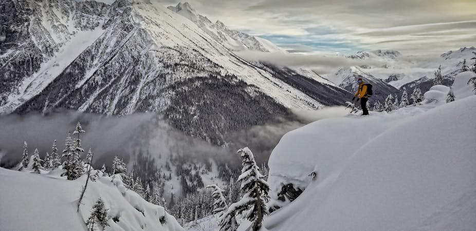
Starting at the Rogers Pass Discovery Center, the uptrack follows Connaught Creek and crosses a bridge over the creek to gain the north bank. From there, ascend the Grizzly Shoulder, usually overused and slippery. You'll get awesome views of the Grizzly Basin and Connaught Valley guarded by the impressive Mt Cheops. Most of the uptrack is shared with popular routes, Rogers Run and Puff Daddy, forming what's called the Grizzly Shoulder. Grizzly Trees would be well within that realm when it comes to bang for your buck. It's no surprise that the route is extremely popular.
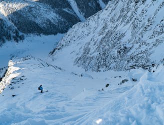
It's also worth mentioning it suits intermediate ski tourers looking to get into bigger terrain as it avoids crossing major slidepaths and consists of challenging avalanche terrain (according to the Avalanche Terrain Exposure Scale - ATES). One last thing: the south-facing slope get a ton of sun during the daytime, warming up the snow surface and increasing the avalanche hazard - keep that in mind when planning your day.
Moderate
Slopes become slightly steeper at around 25-30 degrees.

Exposure is limited to that of the slope itself. Getting hurt is still likely if the slope is steep and/or the snow is hard.

Away from help but easily accessed.
A pillowy goldmine of a run with more than 1000m of powdery falline descent
Difficult Ski Touring
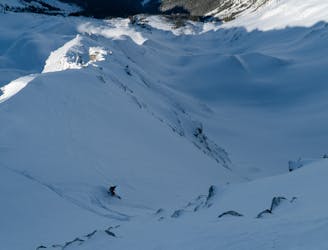
A steep descent into the lesser-known Ursus Valley and the Bruins Glacier
Difficult Ski Touring
1 m away
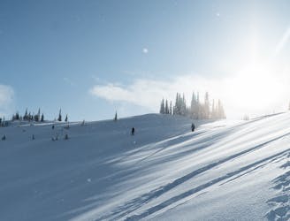
A mellow but exposed walk up the Connaught Valley
Moderate Ski Touring
2 m away
An absolutely massive face of sustained 40-50° skiing that lasts for more than 400m
Severe Ski Touring
5 m away
Pillow-y tree skiing along the western shoulder of Grizzly Mountain
Moderate Ski Touring
22 m away
A 700-meter north-facing couloir from the Cheops West Ridge
Severe Ski Touring
27 m away
Simple Touring but Complex Terrain In Rogers Pass
Moderate Ski Touring
39 m away
Easy to moderate ski tour with a summit & 1500m ski descent.
Moderate Ski Touring
96 m away
A true Rogers Pass classic
Difficult Ski Touring
111 m away
Classic treeskiing in Connaught Creek
Moderate Ski Touring
7 routes · Ski Touring
28 routes · Freeride Skiing · Ski Touring