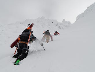
17 m away
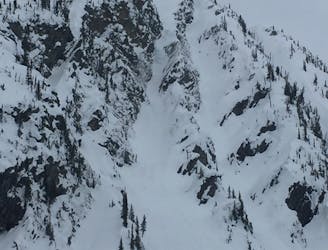
Cougar Creek West
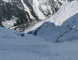
1400m of exposed, convoluted couloir skiing
Severe Ski Touring
- Distance
- 9 km
- Ascent
- 1.4 km
- Descent
- 1.4 km
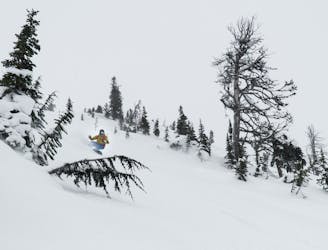
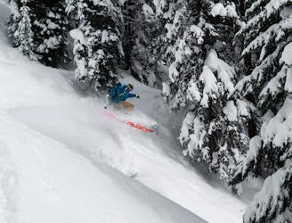
Great skiing on terminal moraines in the Loop Brook area
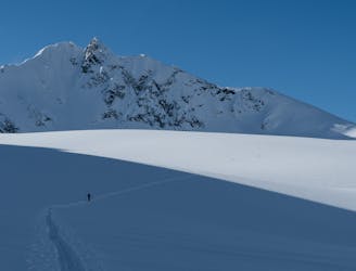
Ski Touring Easy

This is a popular ski touring route which is generally considered to be easy. It's not remote, it features low exposure (e1) and is typically done between January and April. From a low point of 1.1 km to the maximum altitude of 2.1 km, the route covers 12 km, 1125 vertical metres of ascent and 1126 vertical metres of descent. It's graded 2.1 and Labande grade 3. You'll need skins to complete it safely.
Great description can be found here: https://beyondourpeak.com/bonney-moraines-playful-coastal-pow-laps/
On the ascent the route unnecessarily goes far left (to be more scenic). Sticking to a more direct ascend through the trees might be more efficient.
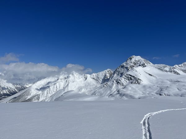
Easy
Wide gentle slopes at around 20 degrees or less.

Exposure is limited to that of the slope itself. Getting hurt is still likely if the slope is steep and/or the snow is hard.
Close to help in case of emergency.
17 m away
1400m of exposed, convoluted couloir skiing
Severe Ski Touring
2.5 km away
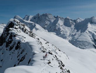
The ultimate ski-mountaineering classic of the Asulkan Valley
Severe Ski Touring
2.5 km away
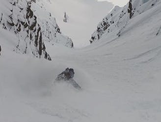
One of the very finest couloirs above Roger's Pass
Severe Ski Touring
2.5 km away
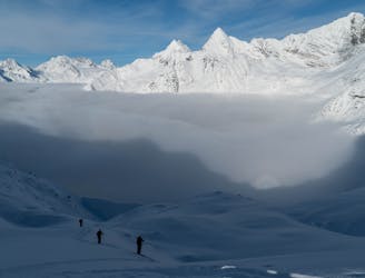
A glorious linkup from the Illecillewaet to the Asulkan Valleys
Difficult Ski Touring
2.5 km away
A one-day mini traverse through the Sir Donald Range
Severe Ski Touring
2.5 km away
A scenic, well-rounded option that takes you through two of Roger Pass' main valleys
Difficult Ski Touring
3.2 km away
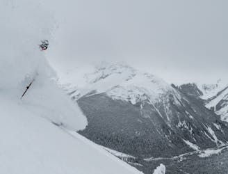
The plum steep ski line of Mount Cheops
Extreme Ski Touring
3.8 km away
Roger Pass’ most accessible ski descent
Difficult Ski Touring
3.8 km away
Rogers Pass' most striking, steep ski-mountaineering classic
Extreme Ski Touring
4.8 km away
A naturally gladed, easily-accessible skier's paradise on the Grizzly Shoulder
Moderate Ski Touring
26 routes · Ski Touring