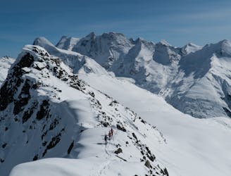
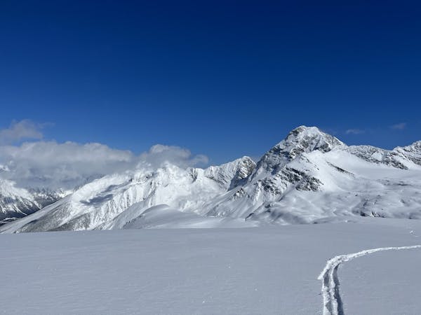
Sir Donald to Macdonald Traverse
A one-day mini traverse through the Sir Donald Range
Severe Ski Touring
- Distance
- 18 km
- Ascent
- 2.3 km
- Descent
- 2.2 km
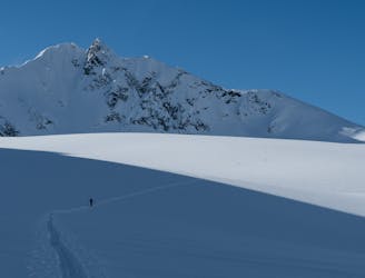
A scenic, well-rounded option that takes you through two of Roger Pass' main valleys
Ski Touring Difficult
For a deeper dive into the route and detailed terrain photos, check out the post on Beyond Our Peak: https://beyondourpeak.com/the-ravens-burly-line-for-burly-storm/
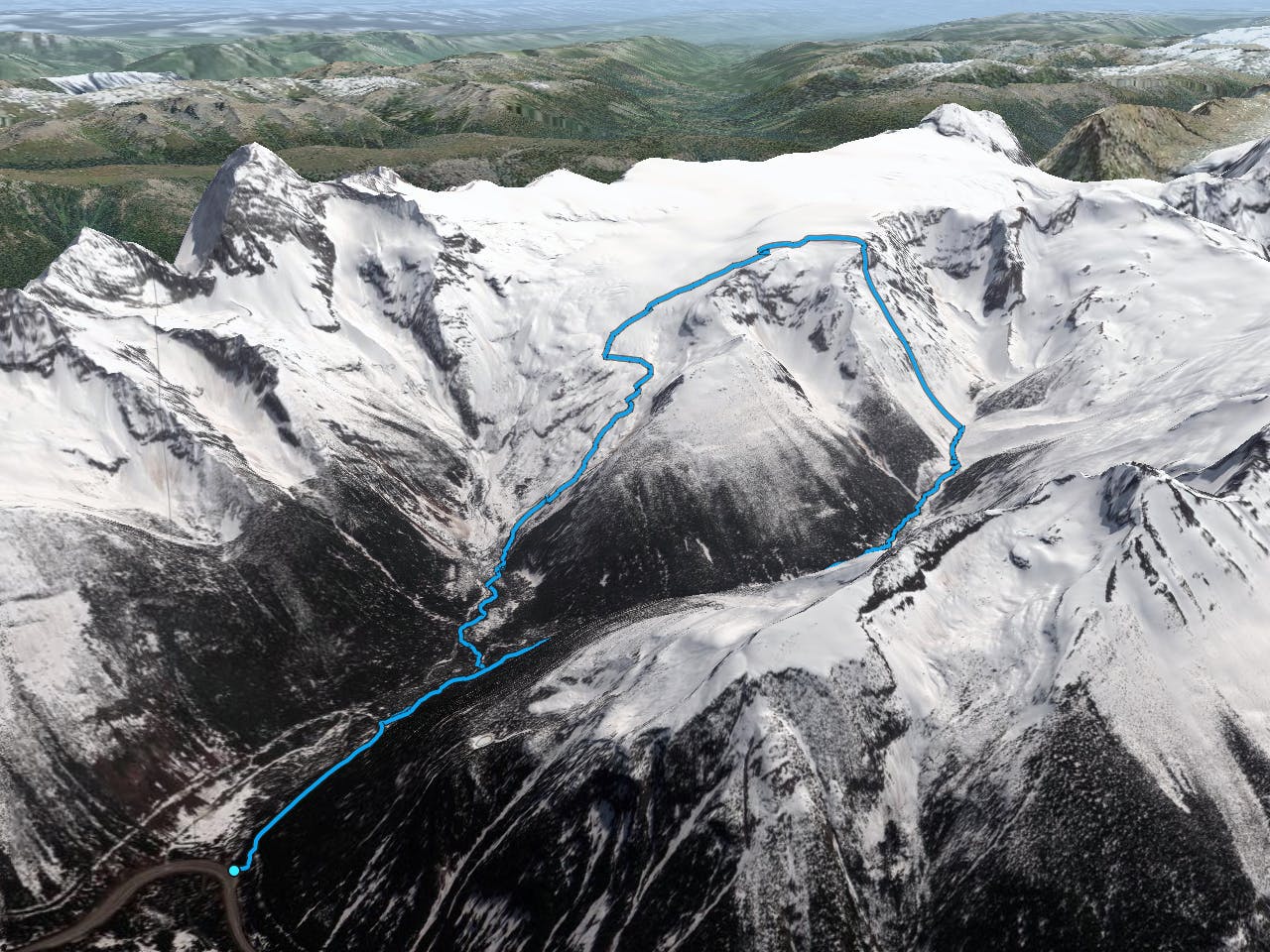
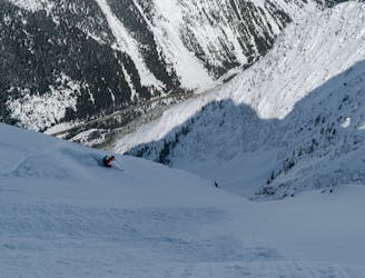
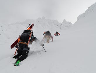
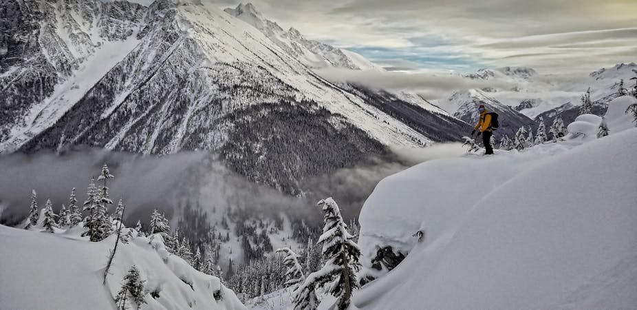
The Ravens route is as good on the up as it is on the down. Starting at the Illecillewaet parking lot, the ascent through the same-name valley is relatively straightforward. After a winding uptrack through convoluted moraines, you gain the Illecillewaet Glacier, granting exquisite views of the Northern Selkirks across the highway as well as the impressive Dawson Range to the South, one of the highest mountains in the region. You'll have to travel past two crevasse fields before gaining the Ravens ridge. From there, carry on toward the snowy ridge to the west. It's a beeline for the high point of the run at 2540m where you'll get a good view of the Dome Glacier to the west, another epic glaciated run.
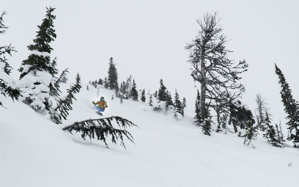
As for the descent, it features 1000m of epic skiing through an alpine and treeline slope ranging from 30-35 deg. Keep in mind, the slope is frequently battered by the prevailing SW winds which may degrade the upper slope's snow condition and stability. Here's a bit of warning: you're exposing yourself to overhead hazards (from a rocky ridge), rolling convexities and numerous terrain traps below. The gullies strewn across the face are frequently cross-loaded making the avalanche hazard assessment and route finding a little more challenging. Again, make sure the slope stability is adequate before attempting this route.
The tour finishes with a mellow slog down the Asulkan Trail back to the parking lot where you get to enjoy a well-deserved tailgate beer.
Difficult
Serious gradient of 30-38 degrees where a real risk of slipping exists.

As well as the slope itself, there are some obstacles (such as rock outcrops) which could aggravate injury.
Away from help but easily accessed.
A one-day mini traverse through the Sir Donald Range
Severe Ski Touring
2 m away
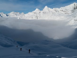
A glorious linkup from the Illecillewaet to the Asulkan Valleys
Difficult Ski Touring
3 m away
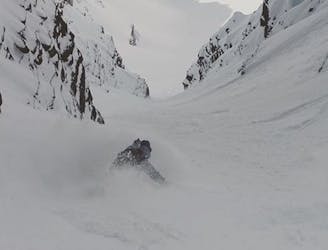
One of the very finest couloirs above Roger's Pass
Severe Ski Touring
6 m away
The ultimate ski-mountaineering classic of the Asulkan Valley
Severe Ski Touring
2.5 km away
1400m of exposed, convoluted couloir skiing
Severe Ski Touring
2.5 km away
Roger Pass’ most accessible ski descent
Difficult Ski Touring
2.5 km away
Rogers Pass' most striking, steep ski-mountaineering classic
Extreme Ski Touring
3.9 km away
Easy to moderate ski tour with a summit & 1500m ski descent.
Moderate Ski Touring
3.9 km away
A naturally gladed, easily-accessible skier's paradise on the Grizzly Shoulder
Moderate Ski Touring
3.9 km away
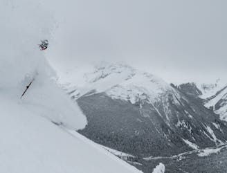
A pillowy goldmine of a run with more than 1000m of powdery falline descent
Difficult Ski Touring
7 routes · Ski Touring
28 routes · Freeride Skiing · Ski Touring