2 routes
Explore Pichincha with curated guides of the best routes. With over 7 3D trail maps in FATMAP, you can easily discover and navigate the best trails in Pichincha.
No matter what your next adventure has in store, you can find a guide on FATMAP to help you plan your next epic trip.
Get a top trail recommendation in Pichincha from one of our 1 guidebooks, or get inspired by the 7 local adventures uploaded by the FATMAP community. Start exploring now!
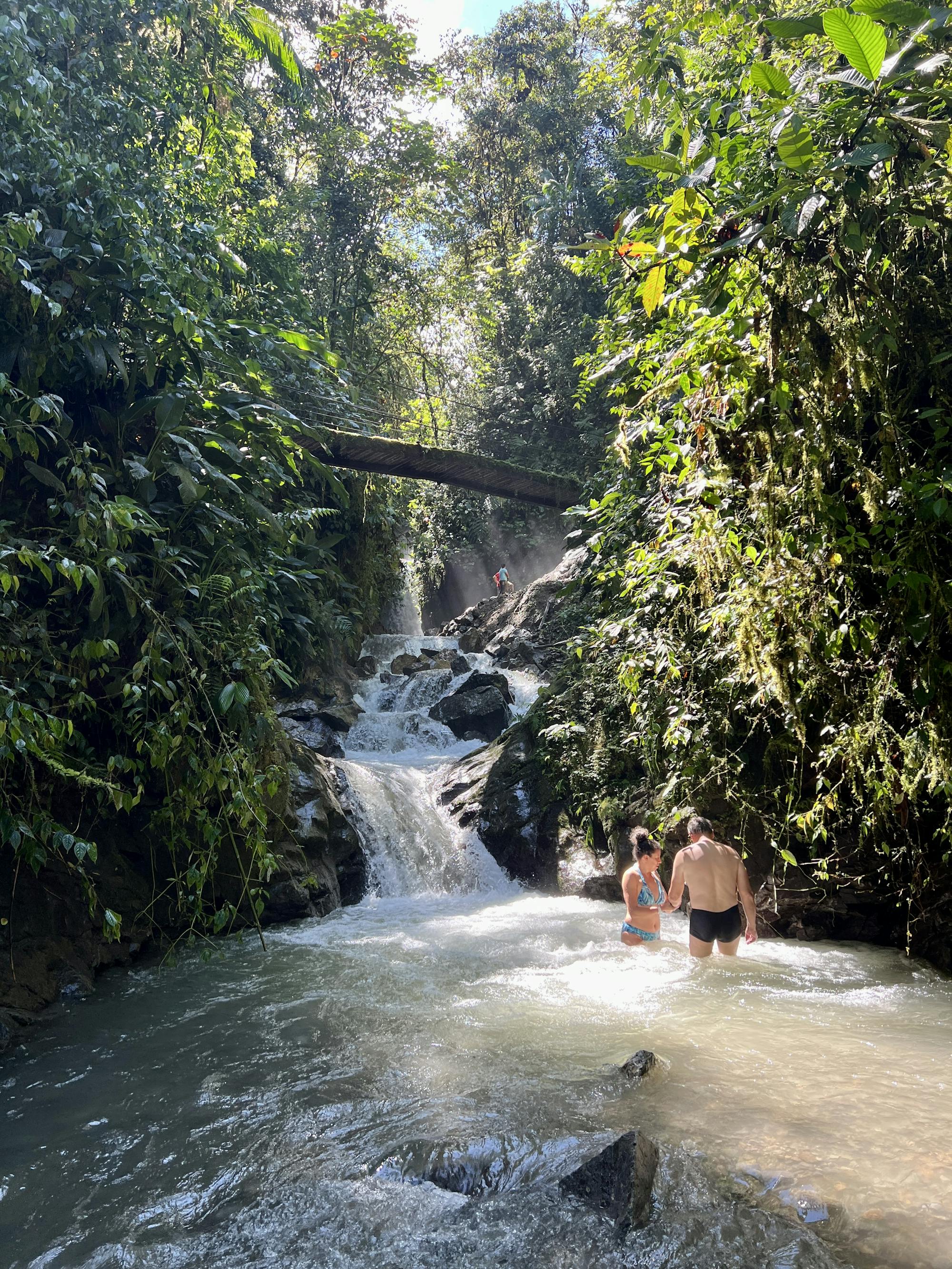
If this isn't paradise, I don't know what is!
Difficult Hiking
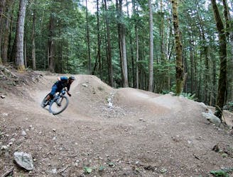
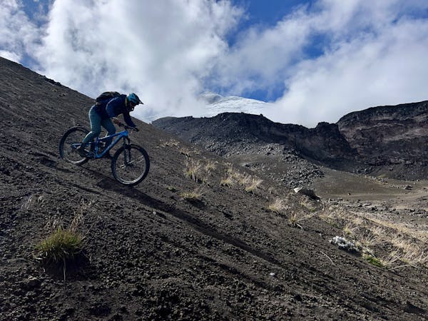
A brutal death march of an enduro ride.
Difficult Mountain Biking
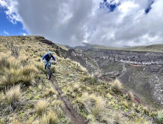
A scenic run along a canyon on the flanks of Cotopaxi.
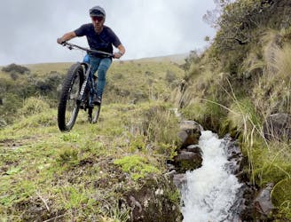
Difficult Mountain Biking

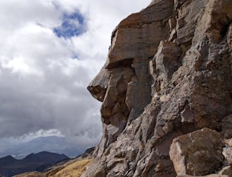
Ruta que recorre el sendero donde se creé escapo Rumiñahui de los captores españoles
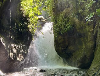
Moderate Hiking
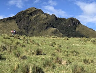
Aclimatación : 4200 msnm
Easy Hiking
Cayambe is the third highest peak in Ecuador and is situated about 2-3 hours north of Quito.
Difficult Alpine Climbing

Successful Summit
Moderate Alpine Climbing
6 routes · Mountain Biking
