Aiguille du Goléon et crêtes de Martignare
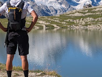
Une course en montagne mélangeant glacier facile, crêtes et hors sentiers au travers du massif des Arves.
Difficult Trail Running
- Distance
- 25 km
- Ascent
- 2.3 km
- Descent
- 2.3 km

Go trail running in Briançon with curated guides of the best trail runs across the region. With over 97 3D trail maps in FATMAP, you can easily discover and navigate the best trails in Briançon.
No matter what your next adventure has in store, you can find a guide on FATMAP to help you plan your next epic trip.
Get a top trail running recommendation in Briançon from one of our 8 guidebooks, or get inspired by the 97 local adventures uploaded by the FATMAP community. Start exploring now!

Une course en montagne mélangeant glacier facile, crêtes et hors sentiers au travers du massif des Arves.
Difficult Trail Running