From Puy Saint Pierre to Serre Chevalier 2491m

Easy but long and physical
Moderate Mountain Biking
- Distance
- 23 km
- Ascent
- 1 km
- Descent
- 1 km
Go mountain biking in Hautes-Alpes with curated guides of the best bike trails across the region. With over 218 3D trail maps in FATMAP, you can easily discover and navigate the best trails in Hautes-Alpes.
No matter what your next adventure has in store, you can find a guide on FATMAP to help you plan your next epic trip.
Get a top mountain bike trail recommendation in Hautes-Alpes from one of our 11 guidebooks, or get inspired by the 218 local adventures uploaded by the FATMAP community. Start exploring now!
Easy but long and physical
Moderate Mountain Biking

MTB / hiking trip to the top of the Ceuze mountain
Difficult Mountain Biking

Long but easy way up to a technical descent through the forest
Difficult Mountain Biking
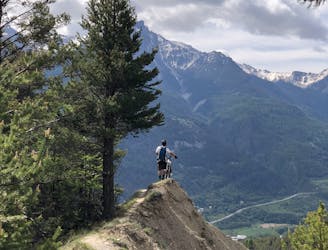
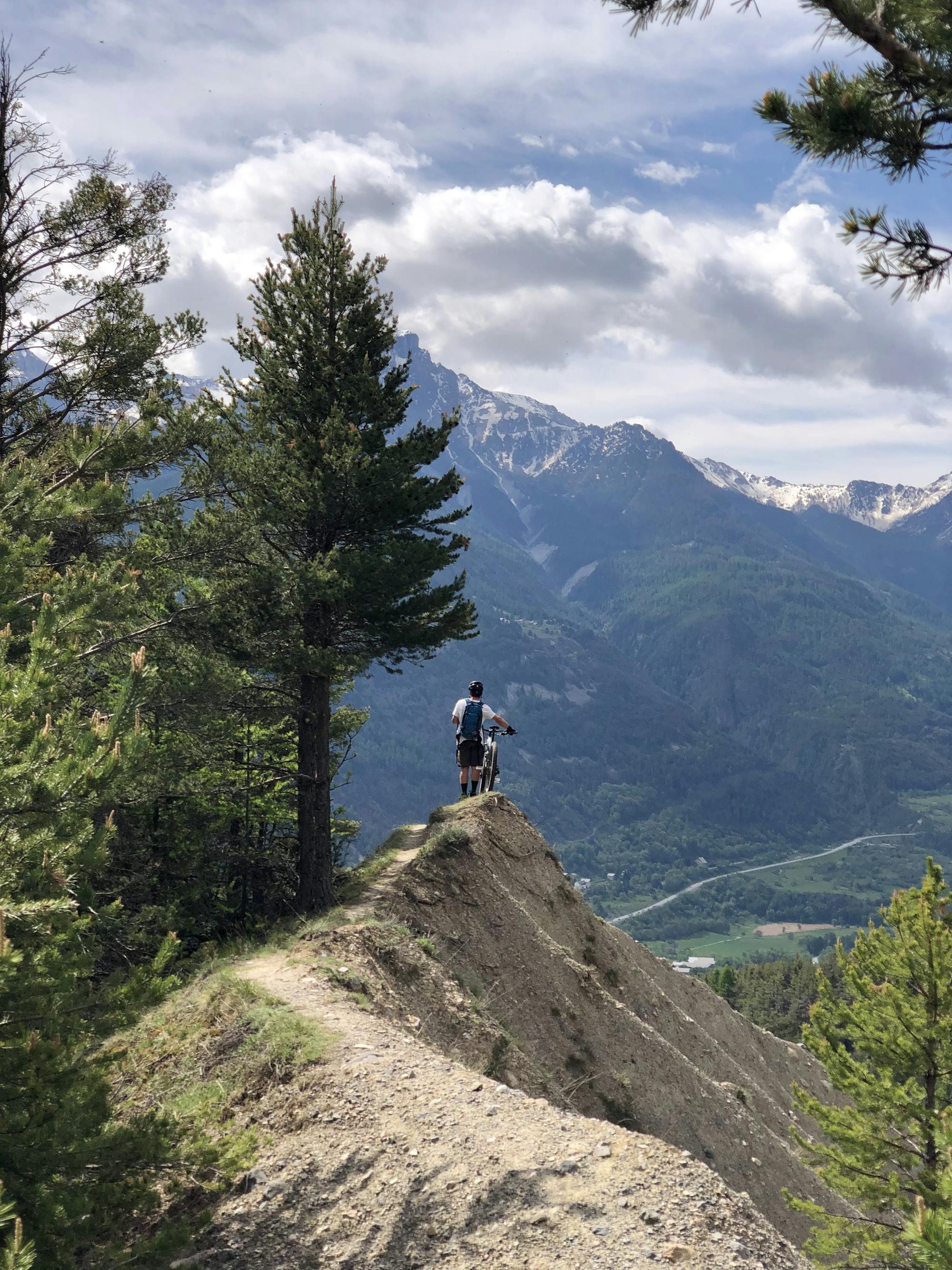
Easy way up for an engage way down in forest and on ridge
Severe Mountain Biking

Chemin 4x4, débutant, découverte du secteur de Serre Chevalier en vélo
Easy Mountain Biking
Long approach but epic and varied new line around Briançon
Difficult Mountain Biking
Beautiful line over Sacha's torrent.
Moderate Mountain Biking

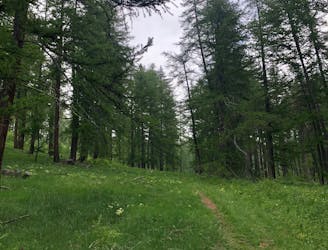
Dynamic trail in forest, easy access by the road
Difficult Mountain Biking

La Roche des Arnauds - Col de Conode - Santier des Bans
Extreme Mountain Biking

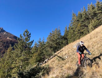
Forest road to go up, mix trail and forest road downhill.
Difficult Mountain Biking

EWS - Day 2
Difficult Mountain Biking

EWS - Day 1
Difficult Mountain Biking