6.4 km away
Mélézine
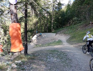
A brilliant romp down the lower part of Serre Chevalier
Severe Mountain Biking
- Distance
- 5.9 km
- Ascent
- 21 m
- Descent
- 556 m
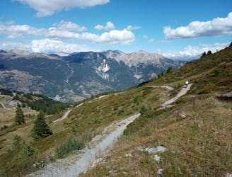
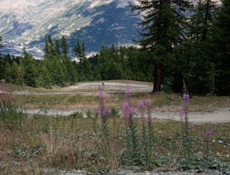
Long but easy way up to a technical descent through the forest
Mountain Biking Difficult

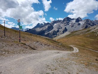
This is a popular mountain biking route which is generally considered to be difficult. It's remote, it features medium exposure and is typically done between June and September. From a low point of 1.2 km to the maximum altitude of 2.4 km, the route covers 24 km, 1221 vertical metres of ascent and 1220 vertical metres of descent.
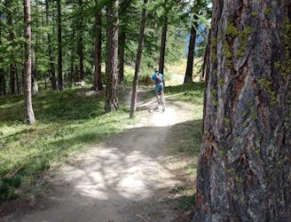
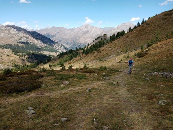
1000m D+ to climb up, a 4x4 military road, easy but long. A single track a bit narrow, with roots and rocks in the middle of the forest. Very beautiful but technical section.
Difficult
Mostly stable trail tread with some variability featuring larger and more unavoidable obstacles that may include, but not be limited to: bigger stones, roots, steps, and narrow curves. Compared to lower intermediate, technical difficulty is more advanced and grades of slopes are steeper. Ideal for upper intermediate riders.

The trail contains some obstacles such as outcroppings and rock which could cause injury.
Away from help but easily accessed.
6.4 km away
A brilliant romp down the lower part of Serre Chevalier
Severe Mountain Biking
7 km away
A short climb yields huge results!
Difficult Mountain Biking
7 km away
Big views, cruisy riding and easy access make this pure Type-1 fun!
Moderate Mountain Biking
7 km away
A staggeringly beautiful ride followed by some immaculate singletrack.
Severe Mountain Biking
7 km away
Perhaps the single most fun line at Serre Chevalier!
Difficult Mountain Biking
7 km away
A tricky line with continually interesting riding, all in an amazing location.
Severe Mountain Biking
6 routes · Mountain Biking