2 m away
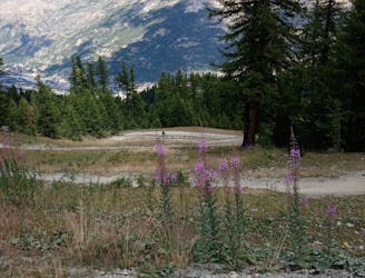
Enduro des Crêtes
A staggeringly beautiful ride followed by some immaculate singletrack.
Severe Mountain Biking
- Distance
- 22 km
- Ascent
- 426 m
- Descent
- 1.4 km
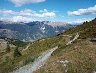
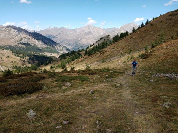
A tricky line with continually interesting riding, all in an amazing location.
Mountain Biking Severe

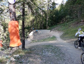
A technically challenging descent which takes you all the way down the Serre Chevalier bikepark, this is a ride with countless mini-variations so you can keep riding it and find a new challenge each time.
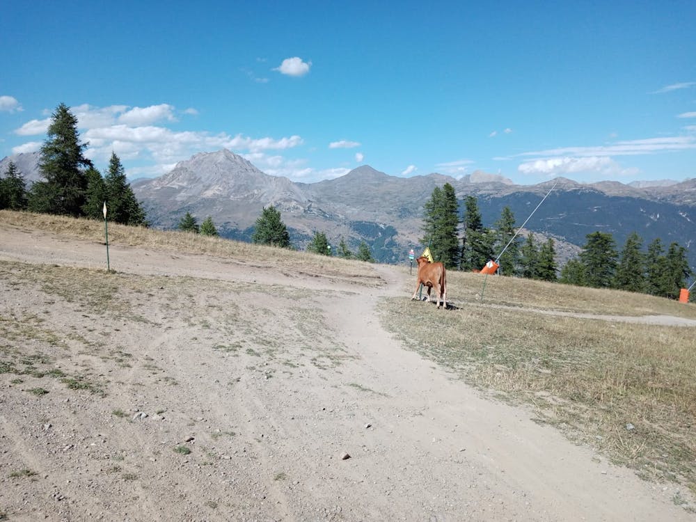
We've drawn this route starting from the Combes chairlift, but the "real" riding on it actually begins from the Casse du Boeuf chairlift. To get from the Combes lift to the Casse du Boeuf, simply ride down a wide and rocky jeep track.
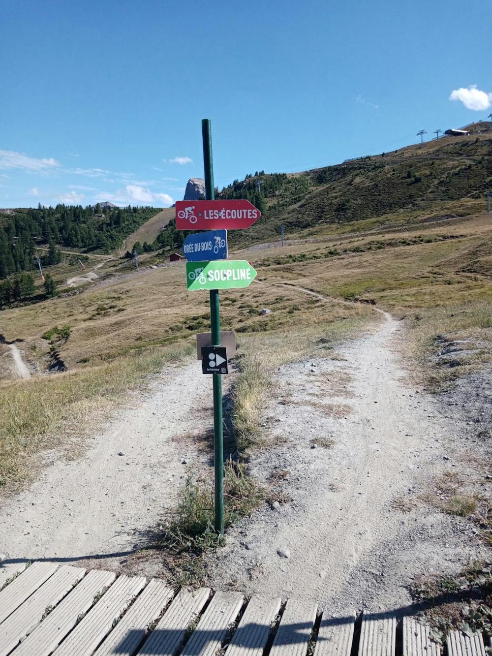
From the Casse du Boeuf chairlift follow the clear signs which direct you onto this route. The riding is fun and flowy in the upper section, and similar in difficulty to the nearby Orée du Bois route. There are some optional ramp jumps but they are easily avoidable. This section serves as a good warmup, and leads you nicely to the foot of the Forêt chairlift, just below the impressive-looking Avaret 2000 restaurant.
The lower part of the trail is much more technical, with drops, jumps and steep sections aplenty. Anything really tough is avoidable; just keep an eye out for signs next to the trail showing you whether to go left or right for the hard (hazard symbol on the sign) or easy (smiley face) options. Even the "easy" options can be quite tricky and there's one section of unavoidable and extremely steep terrain next to a wooden ramp which you reach shortly after leaving the Forêt chairlift behind. Provided you can deal with steep, rocky ground you'll be able to cope with anything the "easy" variations take you down.
Lower down the trail joins lower section of the Mélézine blue run. From the foot of this, follow a beautiful little trail which leads you alongside a river back to Chantemerle.
Severe
Widely variable, narrow trail tread with steeper grades and unavoidable obstacles of 15in/38cm tall or less. Obstacles may include unavoidable bridges 24in/61cm wide or less, large rocks, gravel, difficult root sections, and more. Ideal for advanced-level riders.

Some trail sections have exposed ledges or steep ascents/descents where falling could cause serious injury.

Away from help but easily accessed.
2 m away
A staggeringly beautiful ride followed by some immaculate singletrack.
Severe Mountain Biking
3 m away
Big views, cruisy riding and easy access make this pure Type-1 fun!
Moderate Mountain Biking
10 m away
Perhaps the single most fun line at Serre Chevalier!
Difficult Mountain Biking
19 m away
A short climb yields huge results!
Difficult Mountain Biking
1.9 km away
A brilliant romp down the lower part of Serre Chevalier
Severe Mountain Biking
6 routes · Mountain Biking