Via Alpina: Savoy to the Hautes Alps
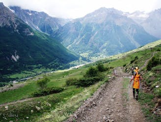
Follow the Via Alpina from Savoy to the Hautes Alps.
Moderate Hiking
- Distance
- 42 km
- Ascent
- 2.8 km
- Descent
- 2.3 km
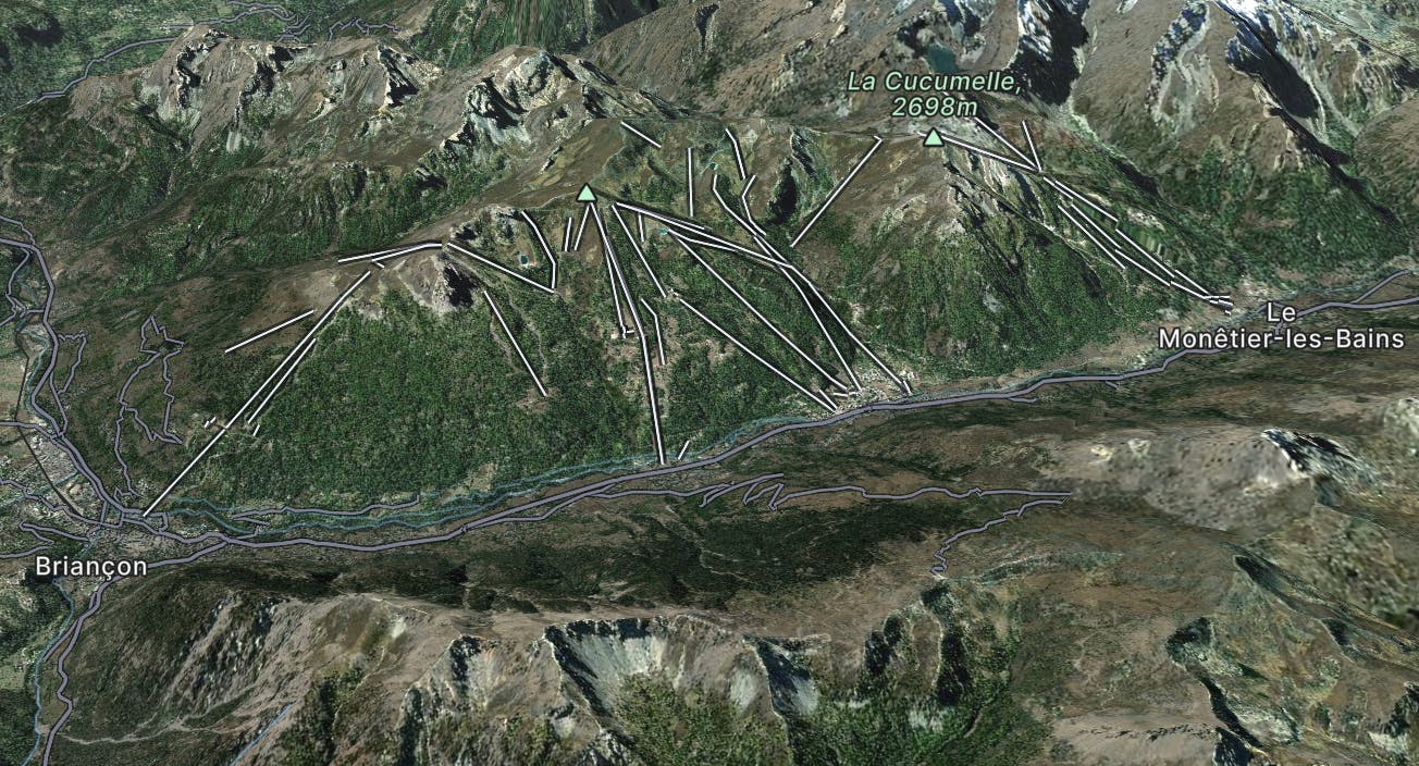
Serre Chevalier (or Serre Che as it’s popularly referred to) is one of France’s oldest and biggest ski areas, although unless you’ve been here you may be forgiven for not knowing this particular piece of trivia. The first lift, built in 1941, was a cable car that went up to a hitherto largely unimportant peak called Serre Chevalier. And the rest, as they say, is history.
Go hiking in Serre Chevalier with curated guides of the best hikes across the region. With over 79 3D trail maps in FATMAP, you can easily discover and navigate the best trails in Serre Chevalier.
No matter what your next adventure has in store, you can find a guide on FATMAP to help you plan your next epic trip.
Get a top hiking trail recommendation in Serre Chevalier from one of our 5 guidebooks, or get inspired by the 79 local adventures uploaded by the FATMAP community. Start exploring now!

Follow the Via Alpina from Savoy to the Hautes Alps.
Moderate Hiking
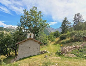
Balade dans la forêt et le vallon du Tabuc
Moderate Hiking
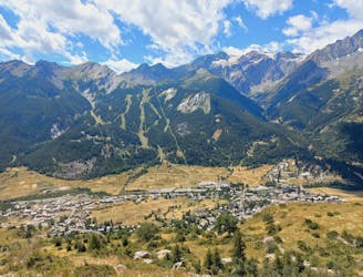
Belvédère en boucle au dessus de Monêtiers les bains
Moderate Hiking

3 routes · Hiking