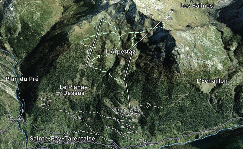
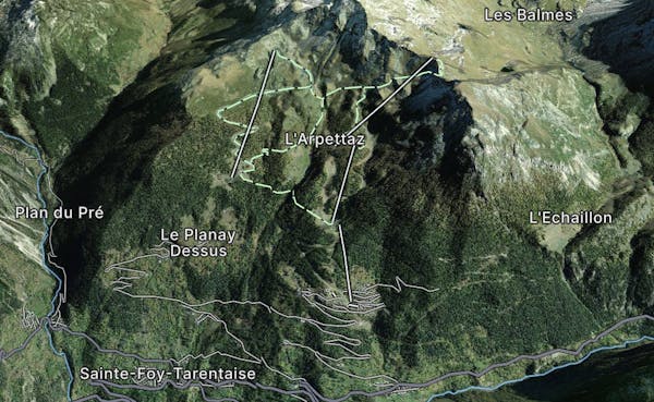
Via Alpina: Tignes Lake to Le Monal

A lovely route with lakes, a dam, traditional alpine hamlets, and beautiful views of Mount Pourri.
Moderate Hiking
- Distance
- 15 km
- Ascent
- 731 m
- Descent
- 951 m
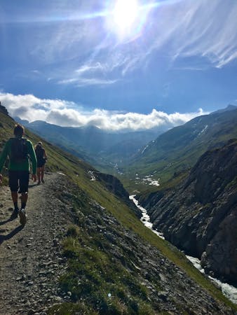
Sainte Foy is one of the Tarentaise Valley's hidden gems. Located close to Tignes and Val d'Isere and it offers excellent freeride terrain.
Go hiking in Sainte Foy with curated guides of the best hikes across the region. With over 19 3D trail maps in FATMAP, you can easily discover and navigate the best trails in Sainte Foy.
No matter what your next adventure has in store, you can find a guide on FATMAP to help you plan your next epic trip.
Get a top hiking trail recommendation in Sainte Foy from one of our 3 guidebooks, or get inspired by the 19 local adventures uploaded by the FATMAP community. Start exploring now!
A lovely route with lakes, a dam, traditional alpine hamlets, and beautiful views of Mount Pourri.
Moderate Hiking
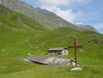
Hike to an incredible glacier from the small town of La Gurraz.
Moderate Hiking
8 routes · Hiking

14 routes · Hiking