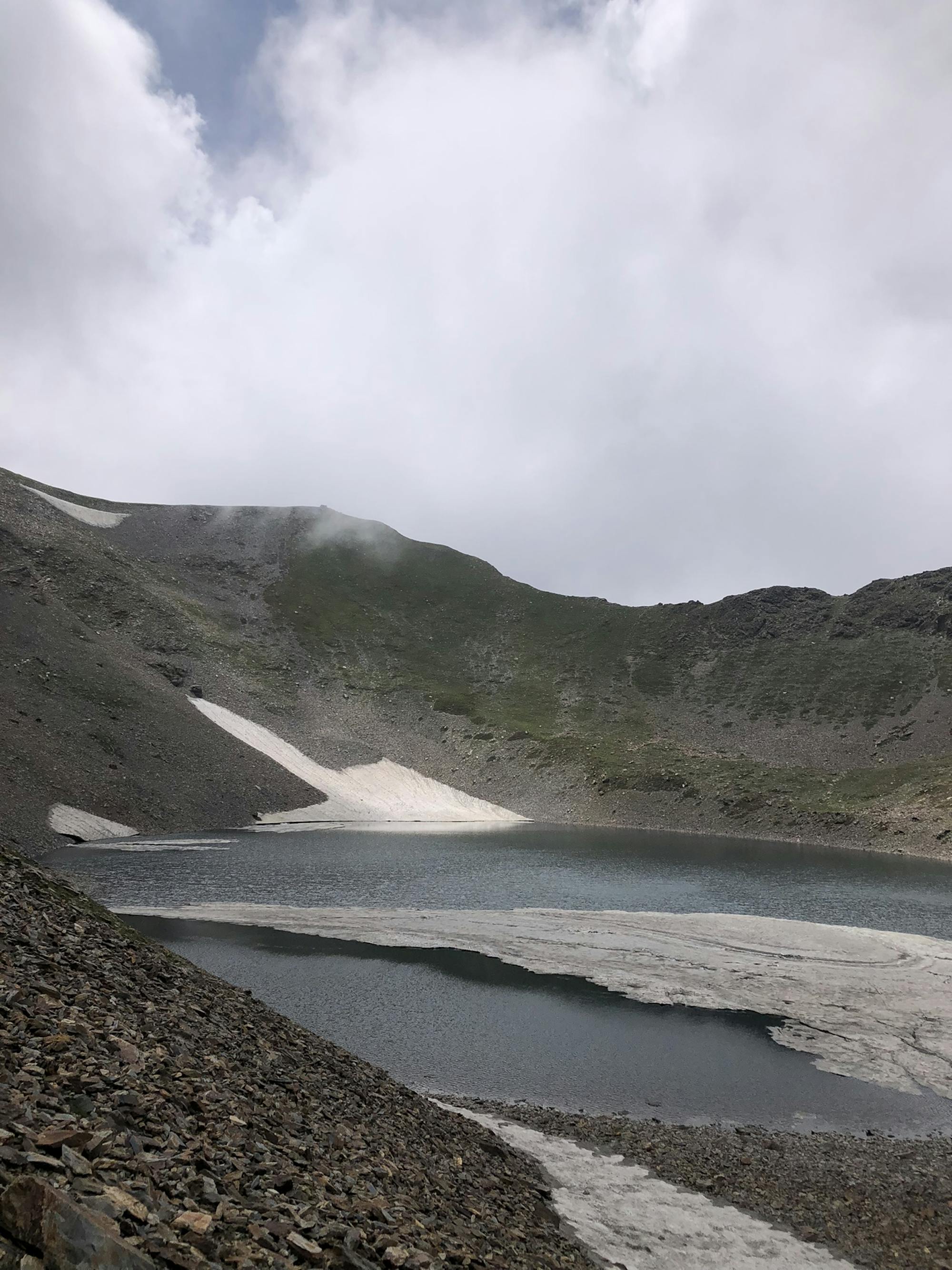
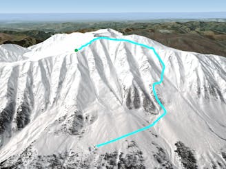
Sunset peak expd trail

sunset peaks trial ascend via Yusmarg and descend via Mughal road.
Severe Alpine Climbing
- Distance
- 31 km
- Ascent
- 2.5 km
- Descent
- 1.6 km
Explore Jammu and Kashmir with curated guides of the best hiking trails, ski routes, and more. With over 60 3D trail maps in FATMAP, you can easily discover and navigate the best trails in Jammu and Kashmir.
No matter what your next adventure has in store, you can find a guide on FATMAP to help you plan your next epic trip.
Get a top trail recommendation in Jammu and Kashmir from one of our 1 guidebooks, or get inspired by the 60 local adventures uploaded by the FATMAP community. Start exploring now!
sunset peaks trial ascend via Yusmarg and descend via Mughal road.
Severe Alpine Climbing

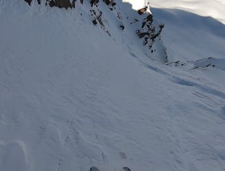
sunset peaks descend trial via Mughal road.
Moderate Alpine Climbing

A Well Known One Day Trek
Difficult Alpine Climbing

A Well Known One Day Trek
Moderate Alpine Climbing

An Probably Unknown Yet To Be Explored Route (PIR PANJAL)
Difficult Alpine Climbing

Skipping military outpost and more easier way back
Moderate Freeride Skiing

Trajan Bowl 3 couloir
Moderate Freeride Skiing

Leopard's back forest via military road
Moderate Freeride Skiing

The most distant ridge route
Moderate Freeride Skiing

Hapat Khued Bowl left ridge
Moderate Freeride Skiing
Bihari Pole trees via Khilanmag Bowl 2
Moderate Freeride Skiing
One of the best steep lines in Gulmarg
Severe Freeride Skiing