Pontboset, Lago Cornuto, colle della fricola, Lago di Gior, colle Santanel, Lago Santanel, col Laris
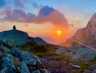
three days in wild valleys with tent bivuac
Difficult Hiking
- Distance
- 39 km
- Ascent
- 3 km
- Descent
- 2.6 km
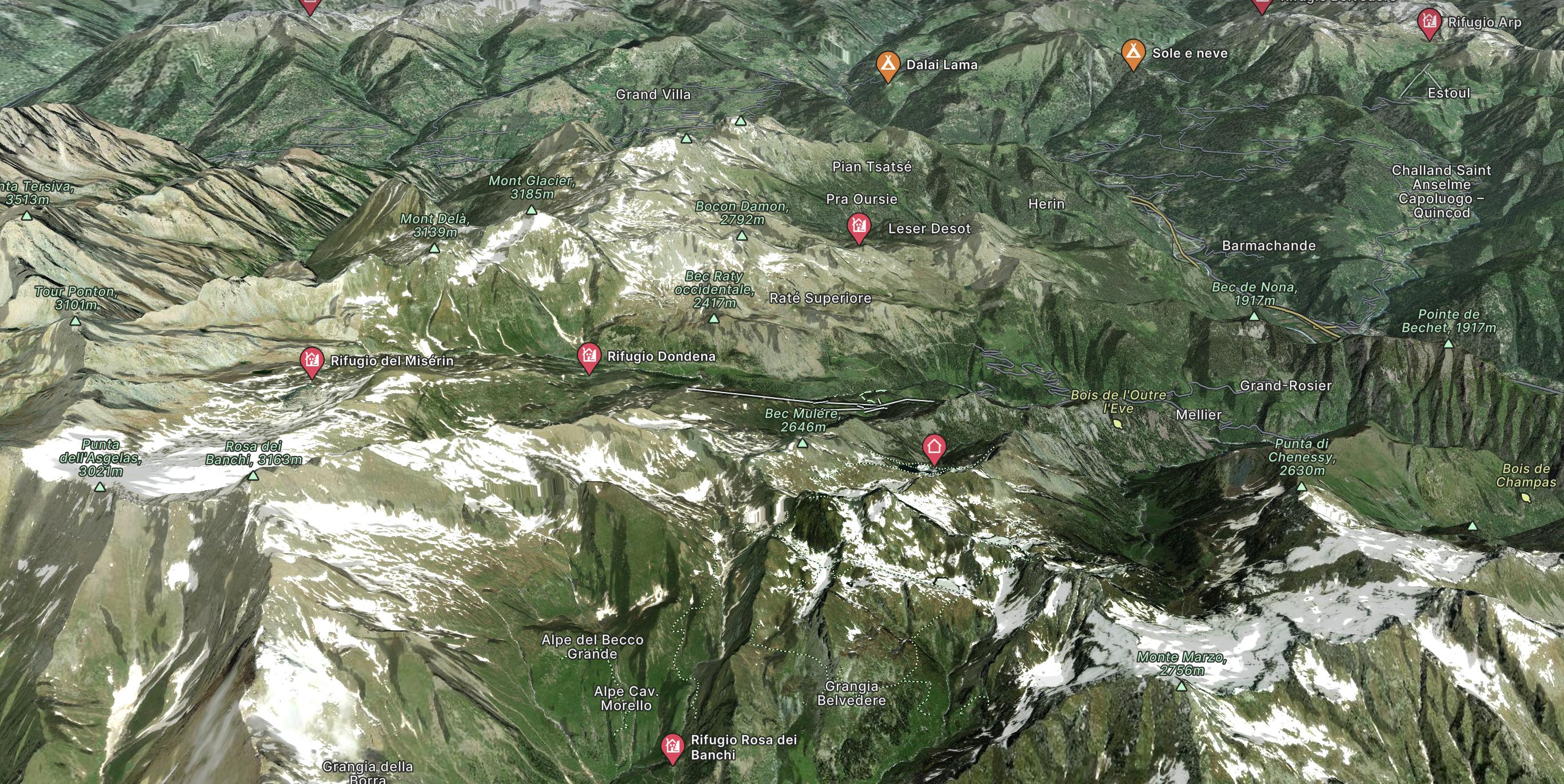
Explore Champorcher with curated guides of the best routes. With over 3 3D trail maps in FATMAP, you can easily discover and navigate the best trails in Champorcher.
No matter what your next adventure has in store, you can find a guide on FATMAP to help you plan your next epic trip.
Get a top trail recommendation in Champorcher, or get inspired by the 3 local adventures uploaded by the FATMAP community. Start exploring now!
three days in wild valleys with tent bivuac
Difficult Hiking

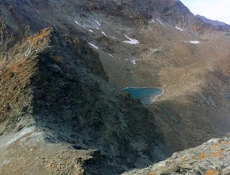
"High Route 1": Tour of the giants
Difficult Hiking
Anello nella valle di Champorcher nel parco del monte Avic
Difficult Hiking