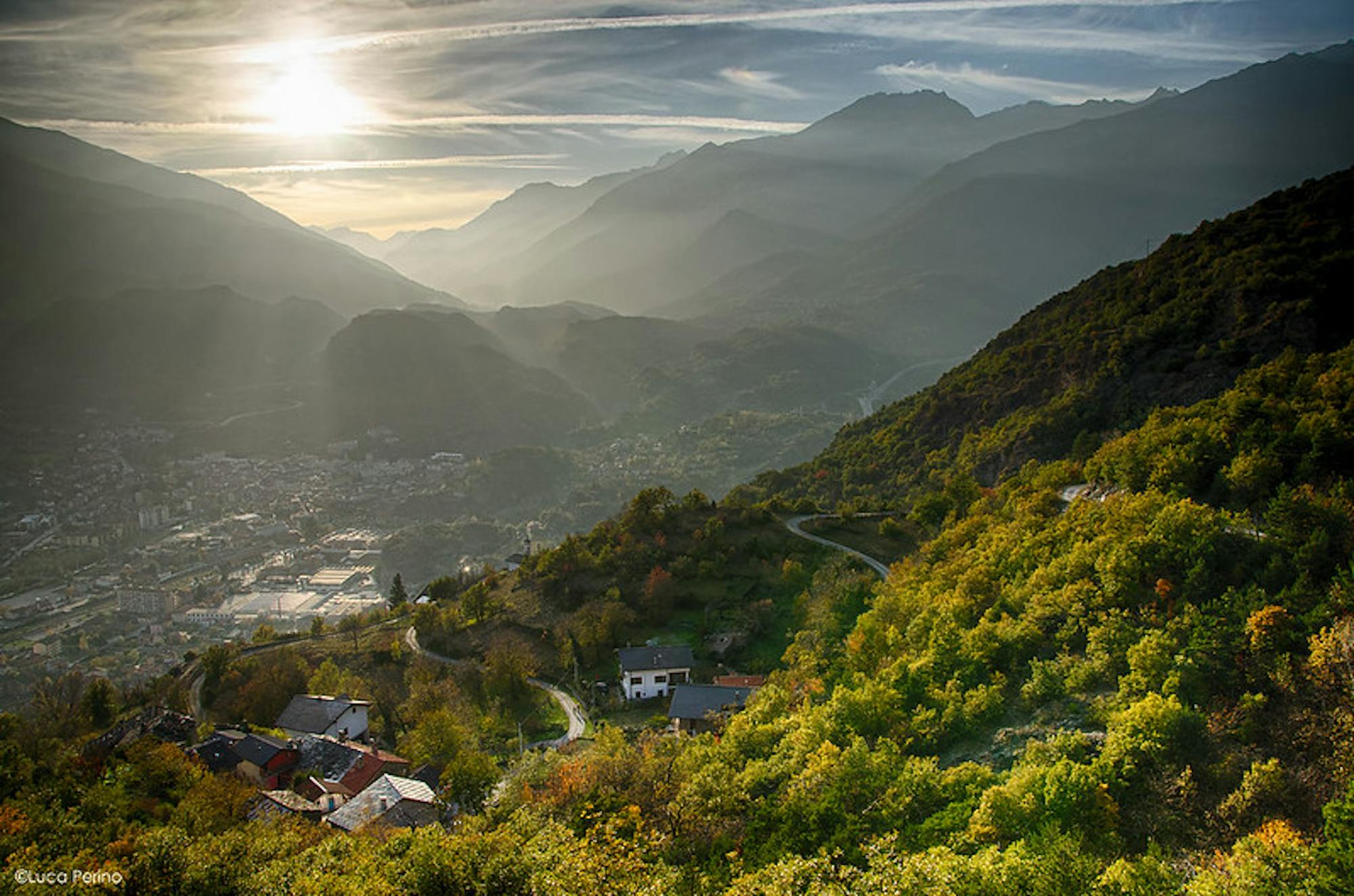
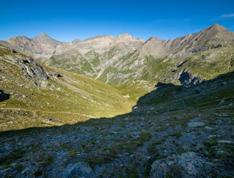
Giro delle Barme

Anello storico-naturalistico
Easy Hiking
- Distance
- 6.6 km
- Ascent
- 498 m
- Descent
- 499 m
Explore Turin with curated guides of the best hiking trails, mountain bike trails, ski routes, and more. With over 113 3D trail maps in FATMAP, you can easily discover and navigate the best trails in Turin.
No matter what your next adventure has in store, you can find a guide on FATMAP to help you plan your next epic trip.
Get a top trail recommendation in Turin from one of our 4 guidebooks, or get inspired by the 113 local adventures uploaded by the FATMAP community. Start exploring now!
Anello storico-naturalistico
Easy Hiking
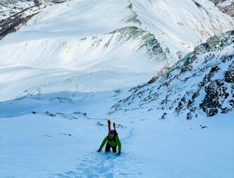
The new style of Freeride, some skin, some crampons, exposure, for a great downhill in a wild envinronment
Severe Freeride Skiing

Anello in alta val Germanasca
Moderate Hiking
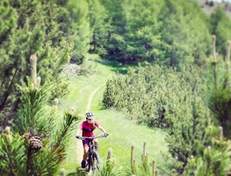
Anello da Sestriere , Bordin, Soleil, Monterotta bassa, Sestriere
Moderate Mountain Biking
Trek in Hannibal's footsteps on a 3 day hiking trip crossing the Alps,
Moderate Hiking

Traverse of the French Alps oin opposite direction
Difficult Hiking

Around the Ivrea lakes
Moderate Hiking

Da Margone a Lago Nero per Lago Malciaussia
Difficult Hiking

Trekking over the French Alps from the Geneva Lake to Mediterrian
Difficult Hiking

dfsf
Moderate Hiking

Scialpinismo a sulla punta a dx del Pelato
Moderate Ski Touring

A classic of the Alta Valle di Susa
Moderate Ski Touring

prove varie e test linee
Moderate Mountain Biking

Giretto xc in collina
Moderate Mountain Biking

Lunga escursione sul tracciato della gara
Moderate Hiking
Long trip from Malciaussia Lake to Colle dell'Autaret and Punta Costan.
Severe Hiking