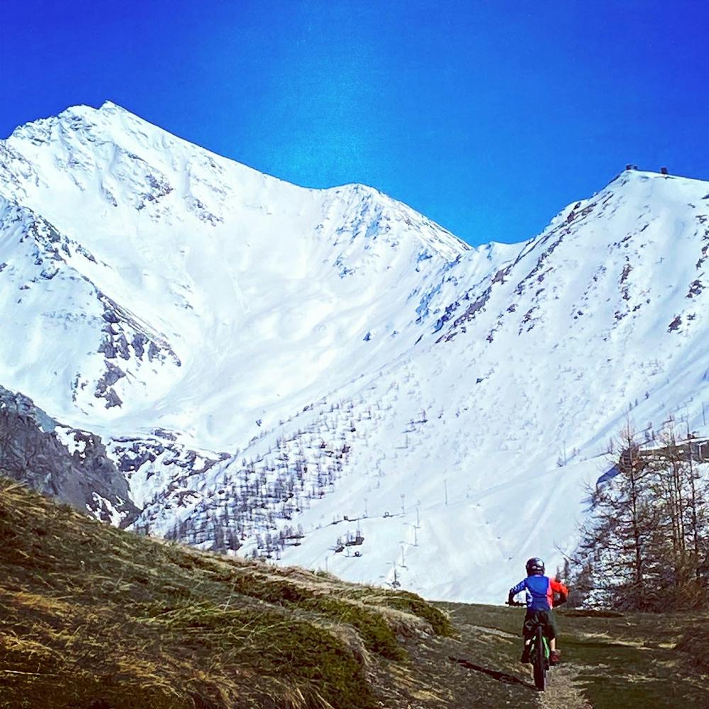
5.5 km away
Karamel
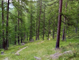
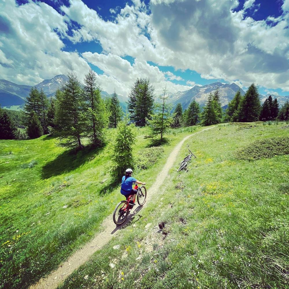
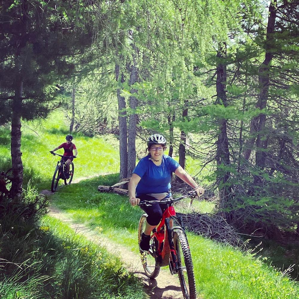
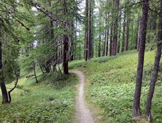
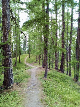
A narrow singletrack line through some gorgeous quiet forests
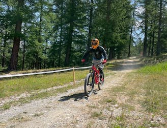
Severe Mountain Biking
- Distance
- 4.7 km
- Ascent
- 34 m
- Descent
- 603 m
Anello da Sestriere , Bordin, Soleil, Monterotta bassa, Sestriere
Mountain Biking Moderate

Percorso misto tra strade bianche e sentieri con poco dislivello e un lungo tratto semi pianeggiante a 2200m, una vista mozzafiato sul Colle del Sestriere a cavallo tra la Val Chisone e la Val di Susa. Sul percorso solo presenti brevi tratti più ripidi e una cura più esposta sul sentiero Bordin.
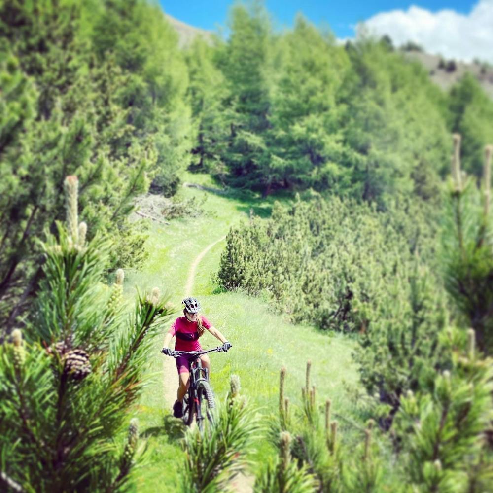
Moderate
Mostly stable trail tread with some variability, with unavoidable obstacles 8in/20cm tall or less. Other obstacles such as rock gullies and steep sections may exist. Ideal for lower intermediate riders.

The trail contains some obstacles such as outcroppings and rock which could cause injury.

Close to help in case of emergency.
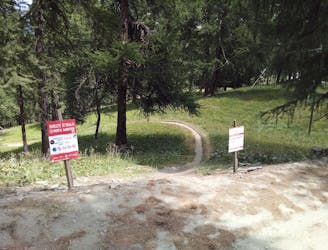
5.5 km away
A narrow singletrack line through some gorgeous quiet forests
Severe Mountain Biking
5.5 km away
A bumpy ride with some huge (optional) airs!
Difficult Mountain Biking
5.5 km away
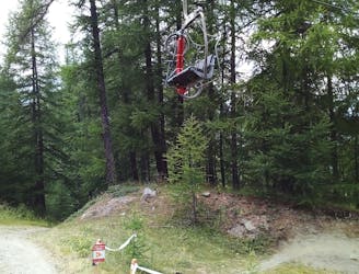
Tough riding right beneath the chairlift!
Severe Mountain Biking
5.5 km away
Technical, root-y and rocky riding on a quiet part of the mountains
Difficult Mountain Biking
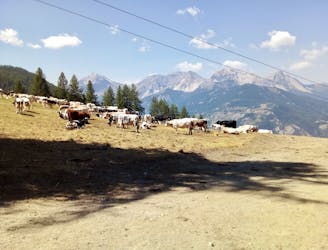
5.5 km away
Quite possibly the best trail at Sauze d'Oulx!
Difficult Mountain Biking
5.5 km away
Not overly technical but scenic and fun, this route is graded Severe only because of the lower section.
Severe Mountain Biking
6 routes · Mountain Biking