1 m away
Sportina Express
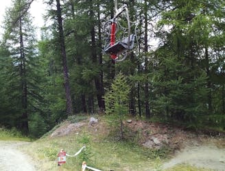
Tough riding right beneath the chairlift!
Severe Mountain Biking
- Distance
- 3.2 km
- Ascent
- 0 m
- Descent
- 568 m
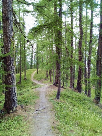
A narrow singletrack line through some gorgeous quiet forests
Mountain Biking Severe

A fun route through open and peaceful forests, this is a great trip down a remote part of the mountain. The upper part of the route isn't especially challenging, so the route only gets the Severe grade because of the lower section, which can be largely avoided by following a jeep track which begins just after this route gets more difficult.
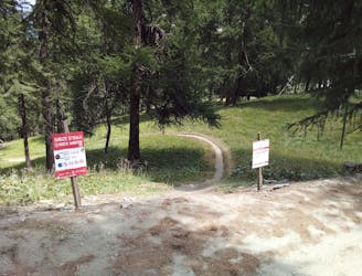
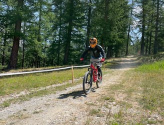
The route actually starts closer to Gouriun Bis than the bike park map shows - follow our line, not the bike park map(!) - and is reached via a short but sharp 5 minute ascent. The start is clearly signposted and the first section is an abandoned jeep track which quickly leads you into the forests.
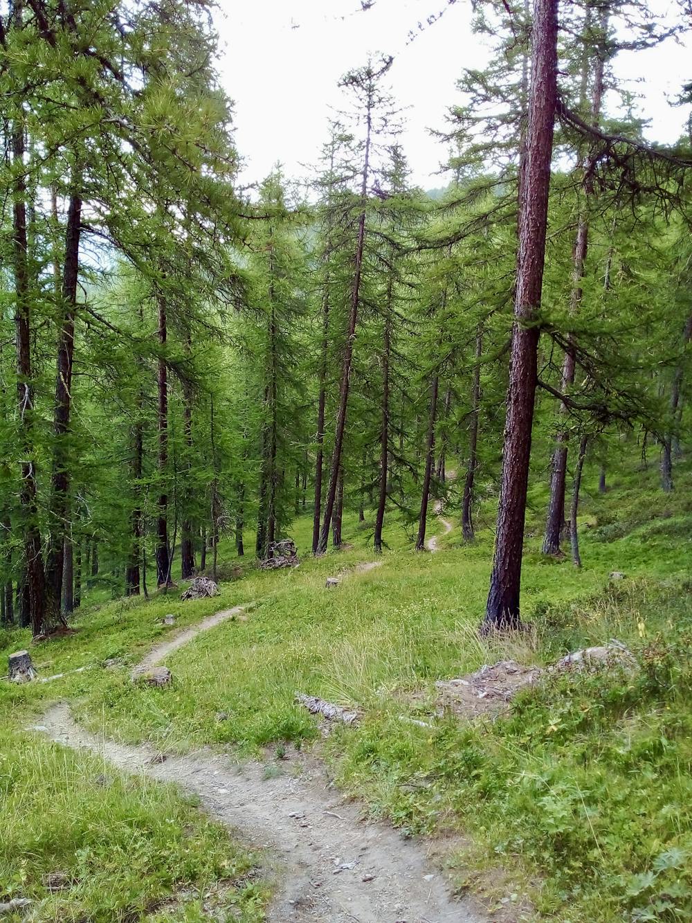
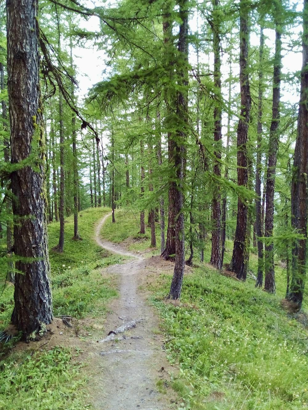
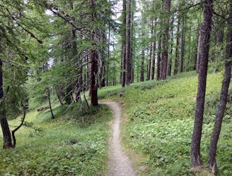
The first section of the route proper is pure fun, with narrow singletrack winding easily through beautiful open forests. The ambience is a wonderful, and you're unlikely to see anyone else on the upper part of the line. The wilderness element of this route make it feel markedly different from most bike parks routes, including most of the Sauze d'Oulx lines.
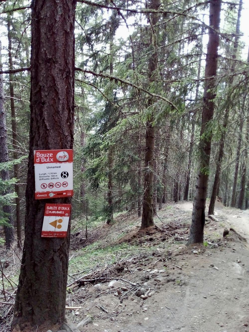
The lower section is signposted on the hill as being red, but the bike park map (and our experience riding it) says it's a black. The riding is root-y and technical, with some steep drops and challenging sections through dense trees. Either follow Karamel all the way down (as shown here) or go down Unnamed, which is a step up in difficulty again. Karamel, Unnamed and the jeep track all eventually meet and lead you back along a shared-use biking/hiking trail (control your speed and be careful of pedestrians) to the chairlift.
Severe
Widely variable, narrow trail tread with steeper grades and unavoidable obstacles of 15in/38cm tall or less. Obstacles may include unavoidable bridges 24in/61cm wide or less, large rocks, gravel, difficult root sections, and more. Ideal for advanced-level riders.

The trail contains some obstacles such as outcroppings and rock which could cause injury.

Little chance of being seen or helped in case of an accident.
1 m away
Tough riding right beneath the chairlift!
Severe Mountain Biking
2 m away
A bumpy ride with some huge (optional) airs!
Difficult Mountain Biking
3 m away
Quite possibly the best trail at Sauze d'Oulx!
Difficult Mountain Biking
3 m away
Not overly technical but scenic and fun, this route is graded Severe only because of the lower section.
Severe Mountain Biking
5 m away
Technical, root-y and rocky riding on a quiet part of the mountains
Difficult Mountain Biking
6 routes · Mountain Biking