2 m away
Tippy's Witch
Quite possibly the best trail at Sauze d'Oulx!
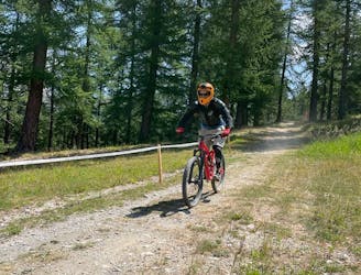
Difficult Mountain Biking
- Distance
- 4.2 km
- Ascent
- 1 m
- Descent
- 570 m
Technical, root-y and rocky riding on a quiet part of the mountains
Mountain Biking Difficult

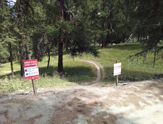
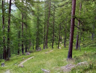
This is a superb trail which lies quite far from the other Sauze d'Oulx lines and feels nicely remote. The access to the route is via an easy jeep track which leads away from the top of the Sportinia chairlift to the top of the Cote Faure chairlift. The Pian della Rocca line proper begins just the far side of the Cote Faure and is clearly signposted.
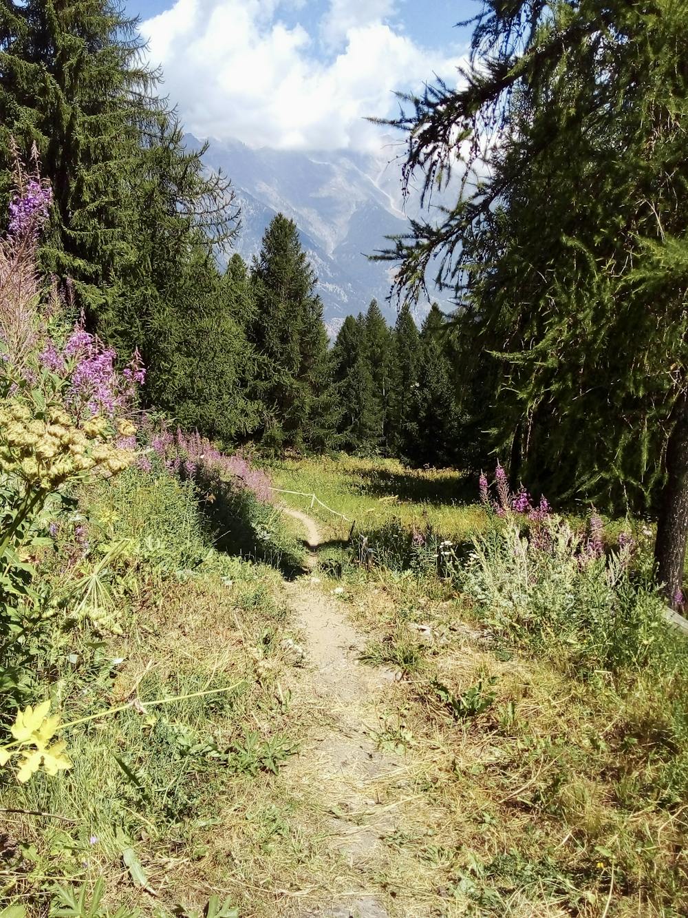
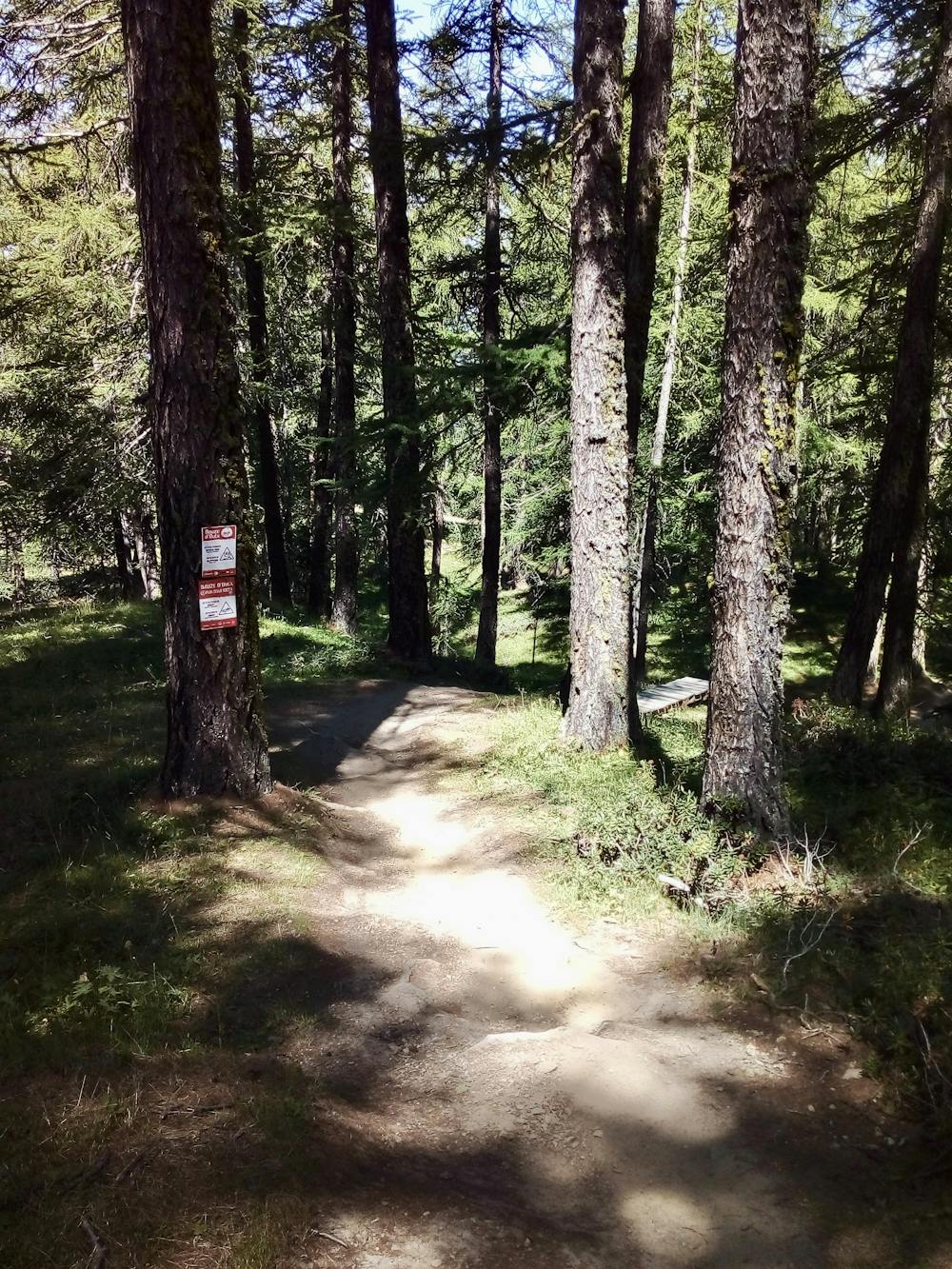
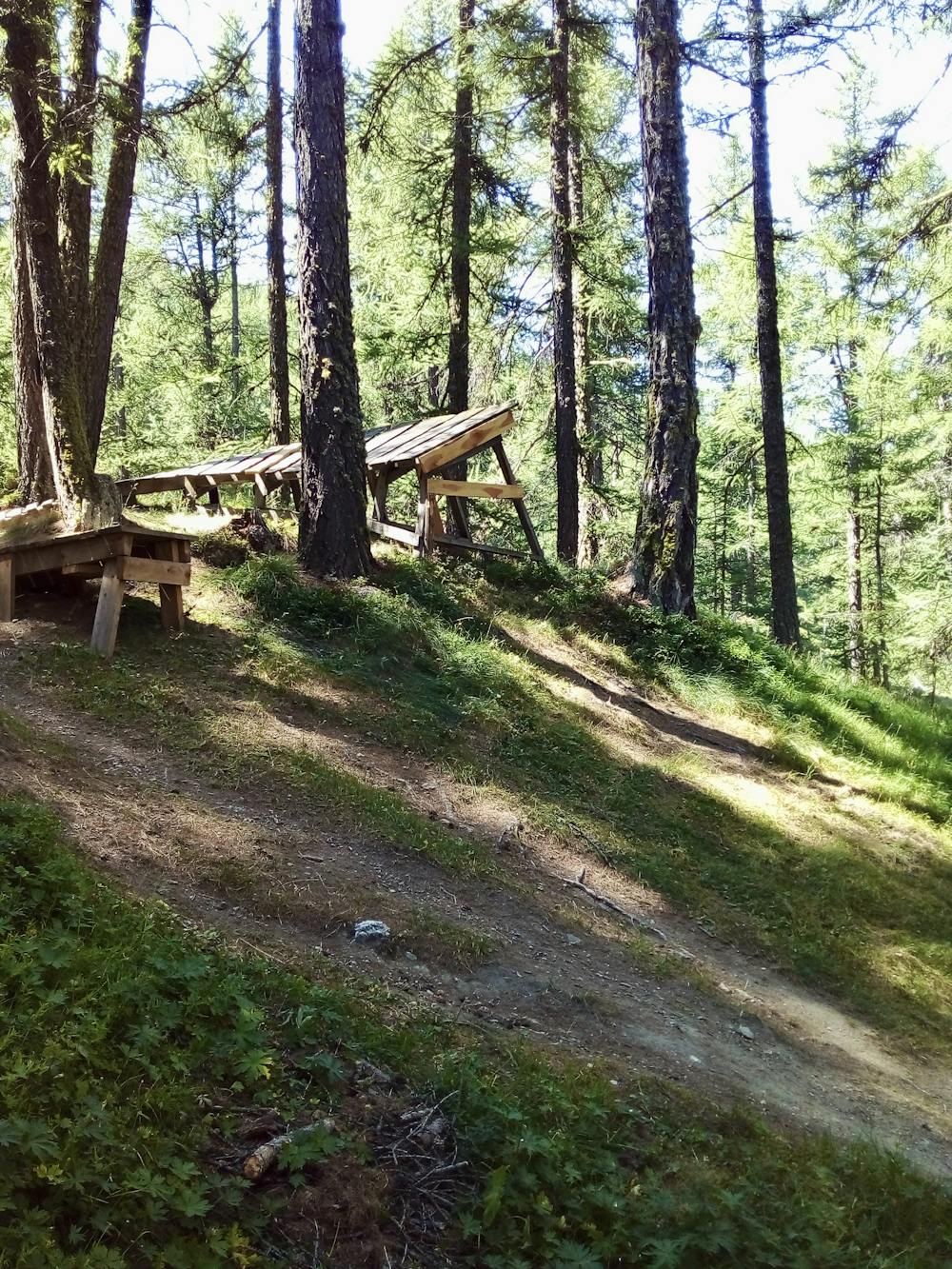
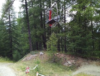
Once on the line, the riding is technical, root-y and rocky, with continuous difficulty and few spots where you can relax. There are also some huge optional jumps which only the most confident of riders will tackle onsight! Most mere mortals will at least want to take a look at them and then hike back up before tackling them, and doing so is highly recommended.
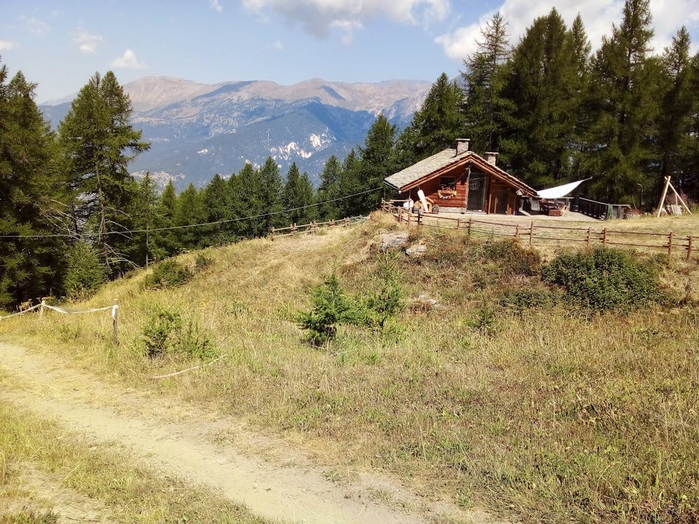
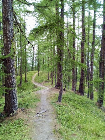
Midway down the mountain Pian della Rocca ends and you'll merge onto One Way Only, which - despite getting the same grade as Pian della Rocca on the official bike park map - is much easier than what preceded it. The track is slightly vaguer but the riding is faster, smoother and easier. The excellent Rifugio Ciao Pais lies close to where the 2 trails meet and it's a beautiful spot at which to grab some lunch. As such, doing this route midway through your day is a good idea.
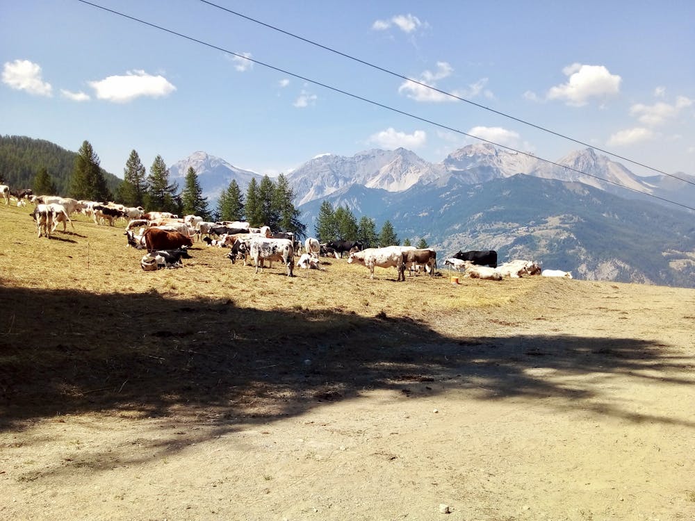
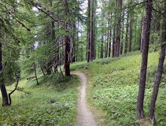
Shortly before reaching the foot of the Sportinia chairlift, you'll end up on Les Clotes - an easy blue run which winds down through some lovely meadows and past grazing cows.
Difficult
Mostly stable trail tread with some variability featuring larger and more unavoidable obstacles that may include, but not be limited to: bigger stones, roots, steps, and narrow curves. Compared to lower intermediate, technical difficulty is more advanced and grades of slopes are steeper. Ideal for upper intermediate riders.

Some trail sections have exposed ledges or steep ascents/descents where falling could cause serious injury.
Little chance of being seen or helped in case of an accident.
2 m away
Quite possibly the best trail at Sauze d'Oulx!
Difficult Mountain Biking
2 m away
Not overly technical but scenic and fun, this route is graded Severe only because of the lower section.
Severe Mountain Biking
3 m away
A bumpy ride with some huge (optional) airs!
Difficult Mountain Biking
3 m away
Tough riding right beneath the chairlift!
Severe Mountain Biking
5 m away
A narrow singletrack line through some gorgeous quiet forests
Severe Mountain Biking
6 routes · Mountain Biking