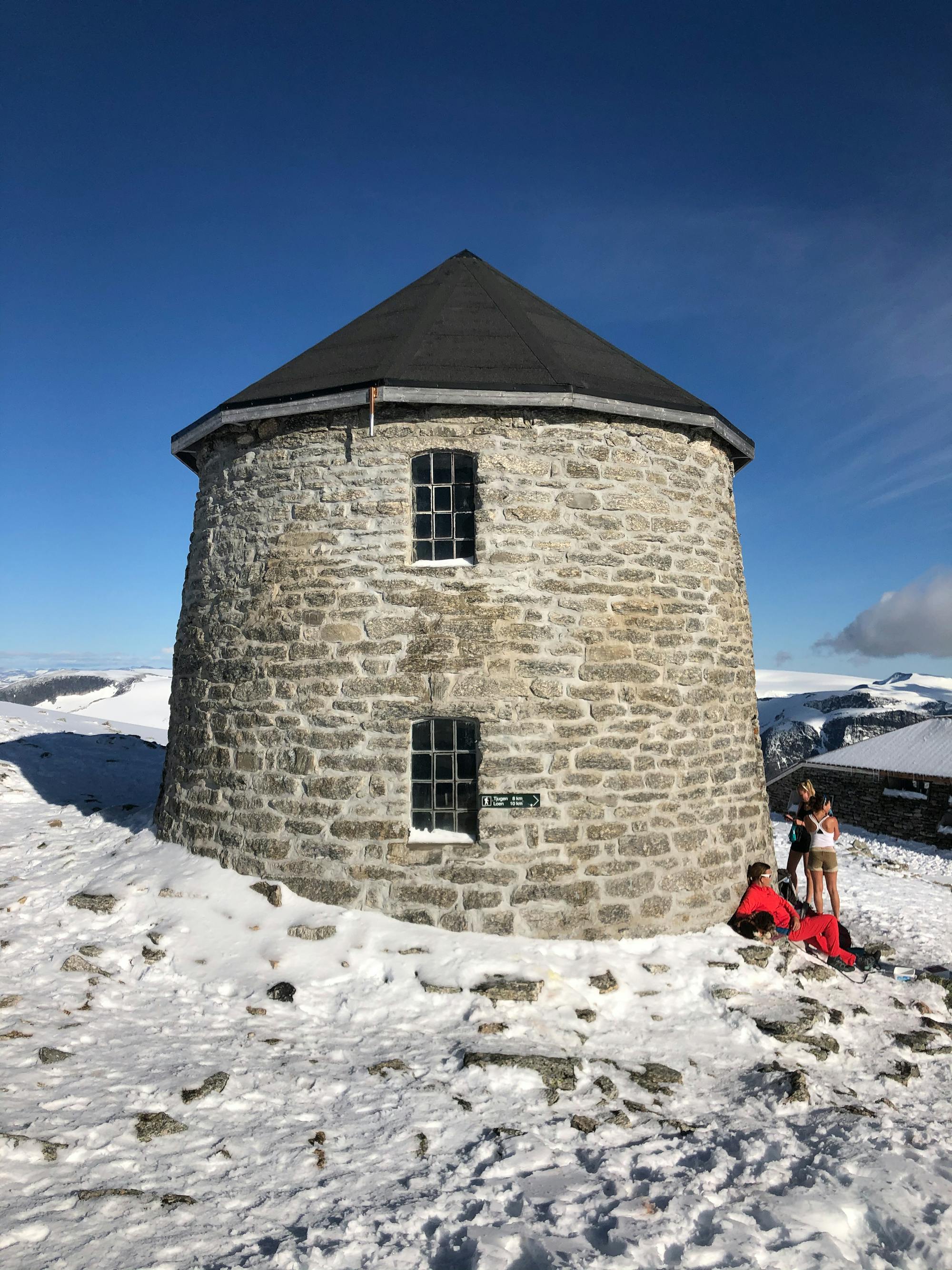
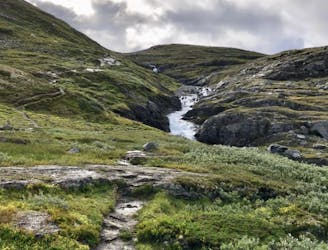
Skåla
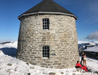
Norway's longest ascent!
Moderate Hiking
- Distance
- 16 km
- Ascent
- 1.9 km
- Descent
- 1.9 km
Go hiking in Sogn og Fjordane with curated guides of the best hikes across the region. With over 27 3D trail maps in FATMAP, you can easily discover and navigate the best trails in Sogn og Fjordane.
No matter what your next adventure has in store, you can find a guide on FATMAP to help you plan your next epic trip.
Get a top hiking trail recommendation in Sogn og Fjordane from one of our 3 guidebooks, or get inspired by the 27 local adventures uploaded by the FATMAP community. Start exploring now!
Norway's longest ascent!
Moderate Hiking
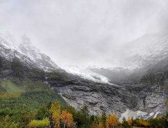
One of the most famous glacier hikes in Norway.
Moderate Hiking

Etape du camping au refuge
Difficult Hiking

Parcours d'un fjord à l'autre
Difficult Hiking

sentier de montagnes
Difficult Hiking
Climbing the Blåfjell near Askvoll, Norway
Moderate Hiking

Hiking path to Speedflying line: sagagrovi
Difficult Hiking

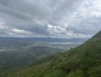
The most popular trip in Luster offers beautiful views in all directions. The trip is mainly on a good path in medium-rising terrain.
Difficult Hiking

A nice hike in a valley, finished off by a hard incline at the end- with an amazing view.
Difficult Hiking
Much of all the beauty that Norway has to offer in two/three days.
Moderate Hiking