Svartdalløypa around Kvitåvatn

This is an easy and beautiful trek along lake Kvitåvatn
Moderate Hiking
- Distance
- 6.5 km
- Ascent
- 129 m
- Descent
- 125 m
Go hiking in Gausta with curated guides of the best hikes across the region. With over 22 3D trail maps in FATMAP, you can easily discover and navigate the best trails in Gausta.
No matter what your next adventure has in store, you can find a guide on FATMAP to help you plan your next epic trip.
Get a top hiking trail recommendation in Gausta, or get inspired by the 22 local adventures uploaded by the FATMAP community. Start exploring now!
This is an easy and beautiful trek along lake Kvitåvatn
Moderate Hiking

A trip to Ørnenipa is a fairly easy trail
Moderate Hiking

This 22 kilometer long hike is a bit of a challenge, but the reward you get with the fresh air and breathtaking scenery definitely makes it worth it.
Moderate Hiking

The path begins with a easy stroll, but eventually goes quite steep up the hill.
Moderate Hiking

This hike is 4,5 kilometers – but don´t let the length fool you.
Difficult Hiking

Are you ready for a 4 day hike?
Moderate Hiking

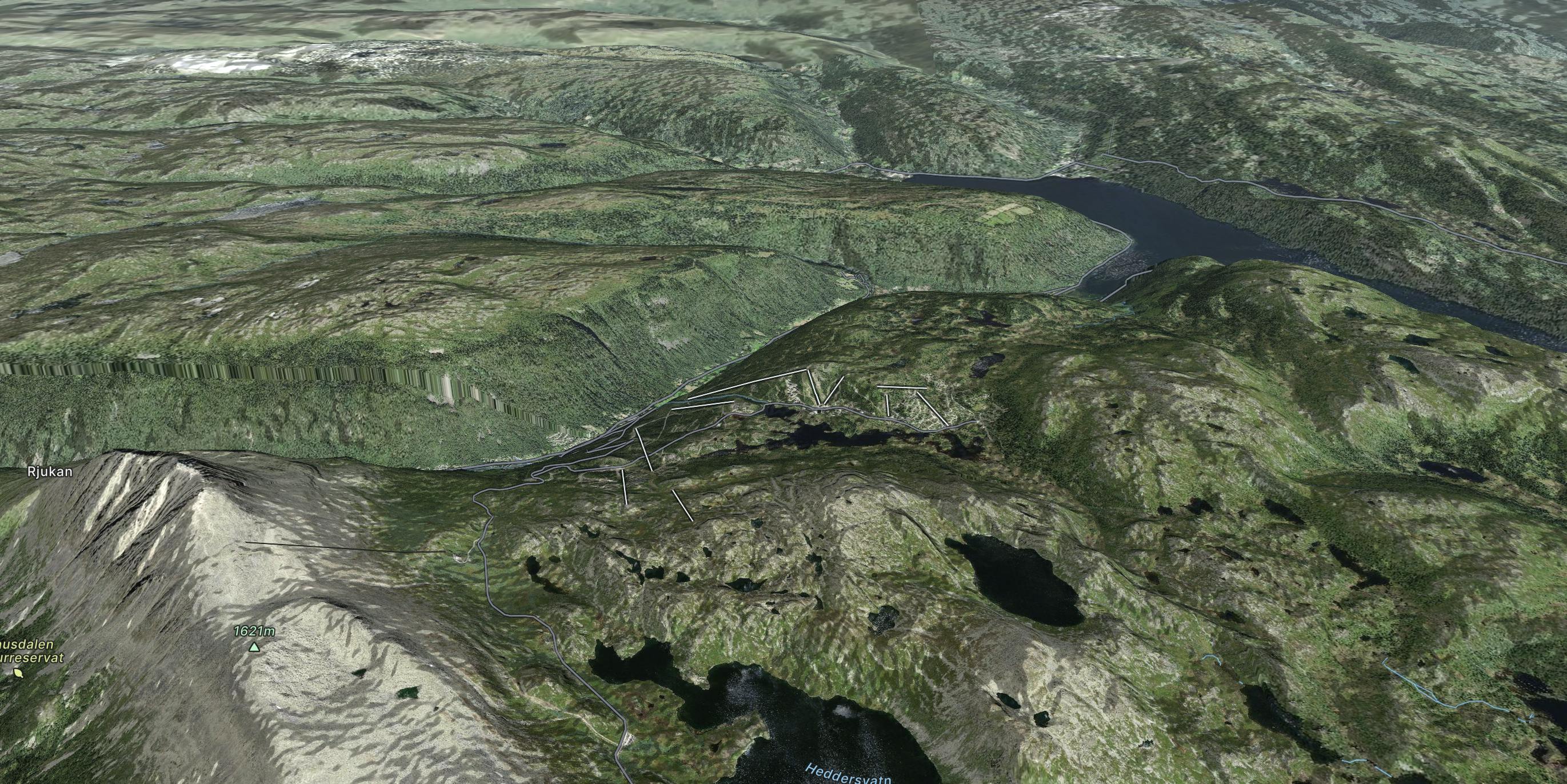
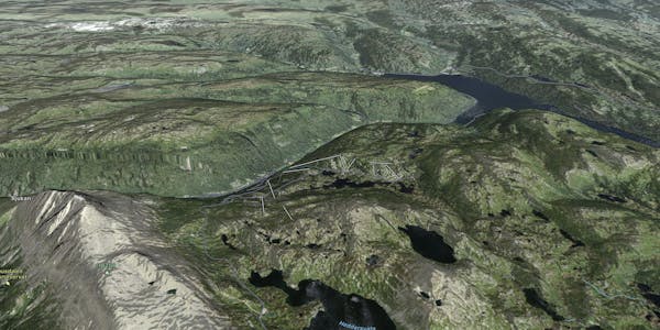
This trail starts with a spectacular ride with Krossobanen, the cable car that transports you from the valley of Rjukan and up to the foot of Hardangervidda in 5 minutes
Difficult Hiking

A varied hike tour along trails and lift tracks.
Easy Hiking

Hike up to Gaustatoppen is on many Norwegians bucket lists.
Difficult Hiking