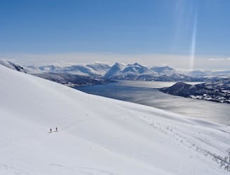
136 routes · Ski Touring · Mountain Biking
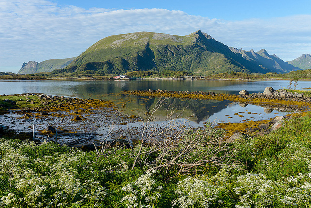
Go hiking in Troms with curated guides of the best hikes across the region. With over 143 3D trail maps in FATMAP, you can easily discover and navigate the best trails in Troms.
No matter what your next adventure has in store, you can find a guide on FATMAP to help you plan your next epic trip.
Get a top hiking trail recommendation in Troms from one of our 13 guidebooks, or get inspired by the 143 local adventures uploaded by the FATMAP community. Start exploring now!

Didnt do it. Just planning.
Difficult Hiking
Hiking Lyngsdalen and summiting the southern peak of Pollfjellet
Severe Hiking
Blue Lake Hike - Blavannet Lyngen Hike
Moderate Hiking
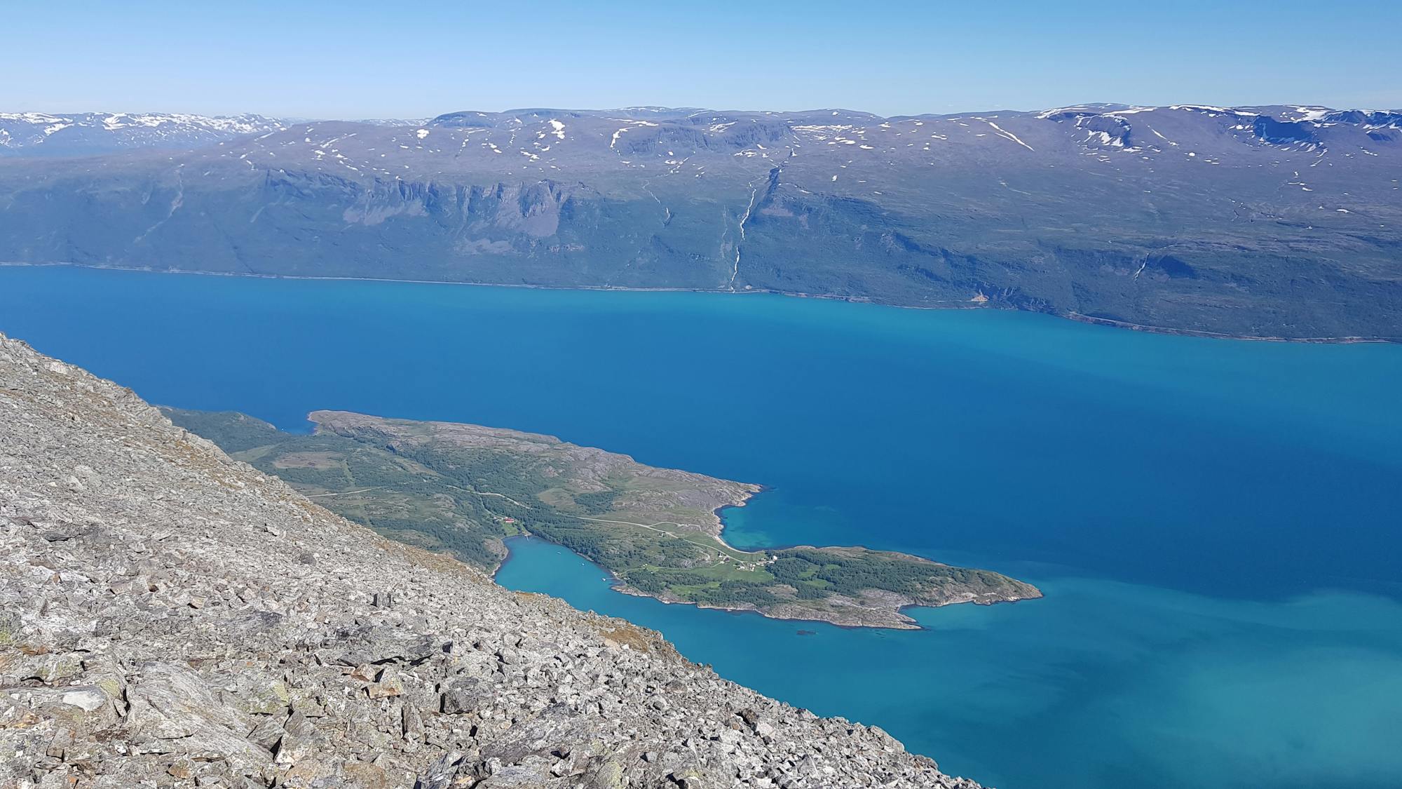
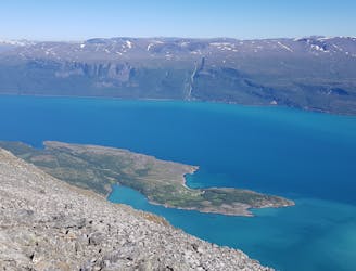
Steindalsbreen Glacier Hike - Lyngen
Moderate Hiking