329 m away
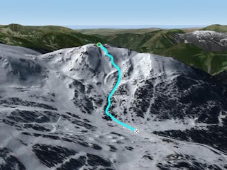
Portella

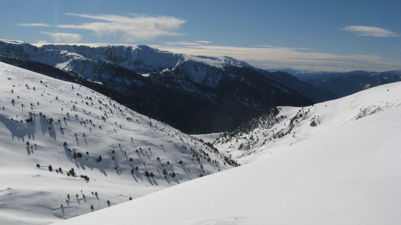
Steep off-piste through the forest
Moderate Freeride Skiing
- Distance
- 698 m
- Ascent
- 0 m
- Descent
- 330 m
Steep off-piste riding through challenging terrain
Freeride Skiing Moderate
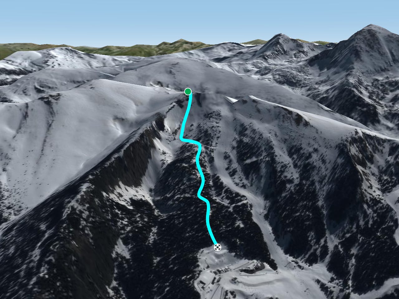
At the top of Portella charilift turn left, walk west for a few minutes, approaching Serra de Portella. Just behind the top station there is a rolling access into the bowl. The terrain ahead is steep and overall very rocky so good snow cover is required. The line runs parallel to the chairlift, approaching a second little bowl. Although the area is rideable it is extremely dangerous due to orographic location and possible avalanche traps. A safe line is to turn to the left on top of the hill before the second bowl, getting closer to a wide creek nearby the slope. Follow the creek into the forest and you will end up at the beginners area and where the Canillo top station gondola is located.
Moderate
Slopes become slightly steeper at around 25-30 degrees.

As well as the slope itself, there are some obstacles (such as rock outcrops) which could aggravate injury.
Away from help but easily accessed.
329 m away
Steep off-piste through the forest
Moderate Freeride Skiing
561 m away

An area for experienced freeriders
Severe Freeride Skiing
576 m away
Popular off piste with great terrain variety.
Difficult Freeride Skiing
604 m away

One of the El Tarter's classic off piste lines
Moderate Freeride Skiing
723 m away

Popular off piste for intermediate riders
Moderate Freeride Skiing
967 m away

A deep, fun creek
Moderate Freeride Skiing
1 km away

Amazing freeride lines through the forest.
Moderate Freeride Skiing
1.3 km away

Short technical steep line
Difficult Freeride Skiing
1.3 km away

A wide freeride area
Moderate Freeride Skiing
1.3 km away

Short technical couloir
Difficult Freeride Skiing
22 routes · Freeride Skiing