28 m away
Capa's north face

A short walk to a mellow line which often holds good snow and leads back to the pistes.
Severe Freeride Skiing
- Distance
- 1 km
- Ascent
- 75 m
- Descent
- 376 m

Easy and little walk access line with a nice East face into the "Pic de la Capa's line".
Freeride Skiing Severe

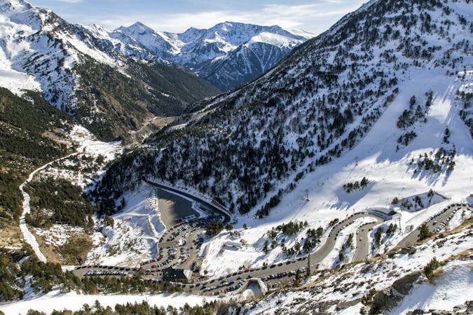
This is an easily accessed line. From "La Capa" lift take a left and hike until the top of "Pic de la Capa's" summit, which takes about 10-15 minutes to the top. The line is about 45 degrees all along the face of the mountain and this line gets a lot of sun (It faces East) so make sure good weather conditions are present before heading here as a lack of snow and/or a good base can make things dangerous. The higher part is well exposed to the wind and avalanche risks as well. The line finishes on the red piste "La Tossa (Arinsal)"; turn right before the arête with the forest part which leads back to the main area of Arinsal ski area.
Severe
Steep skiing at 38-45 degrees. This requires very good technique and the risk of falling has serious consequences.
28 m away

A short walk to a mellow line which often holds good snow and leads back to the pistes.
Severe Freeride Skiing
285 m away

A really long expedition line into the main face of the "Pic de la Capa".
Severe Freeride Skiing
285 m away

A little walk needed to reach the top of the "Pic de la Capa", and ski the arete line.
Severe Freeride Skiing
635 m away

A short cut line between the slopes, close to a little ridge.
Difficult Freeride Skiing
638 m away

An easy access, short line close to the lifts which provides a few steep turns.
Severe Freeride Skiing
1.8 km away

Steep terrain suitable only for expert skiers - there have been plenty of accidents here.
Extreme Freeride Skiing
6 km away

Expedition line with a really long walk needed and a really high level entrance.
Extreme Freeride Skiing
6 km away

A long hike required for a really committing line into steep and rocky terrain for expert skiers only.
Extreme Freeride Skiing
6.1 km away

Another expedition line with some good gradient, where really good steep skiing skills are required.
Extreme Freeride Skiing
6.1 km away

A complex traverse and a long walk to the last part of the "Pic d'arcalis".
Extreme Freeride Skiing

20 routes · Freeride Skiing