16 m away
Les portelle's steep line

A long traverse line close to the slopes, initially on top of a ridge before some steep and rocky skiing.
Extreme Freeride Skiing
- Distance
- 1.1 km
- Ascent
- 32 m
- Descent
- 375 m

Shortcut line close to the slopes.
Freeride Skiing Moderate

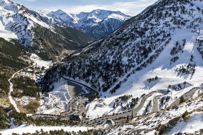
This is an easily accessed line. Turn right on top of the "La Basera" chairlift. Follow the red piste "La Balma" and turn right 10 meters after passing under the chairlift. The line is not steep and can feel like a piste but there are some rocks and few little cliffs. Navigation is really easy - just follow the line into the small gully where no hazards should be present. Cliffs can be jumped but they are optional and avalanche risk is pretty low around here due the lack of steepness. Great skiing skills are not really required. The line finishes on the red piste "La Balma" which leads back to "La Coma" ski area or the bottom of Arcalis ski area.
Moderate
Slopes become slightly steeper at around 25-30 degrees.
16 m away

A long traverse line close to the slopes, initially on top of a ridge before some steep and rocky skiing.
Extreme Freeride Skiing
201 m away

A long line with a small cliff in the middle.
Severe Freeride Skiing
228 m away

Shortcut line between pistes with moderate steepness as well as easy terrain.
Difficult Freeride Skiing
299 m away

Easy line close to the slopes, with a steep entrance being the only slightly tricky bit.
Difficult Freeride Skiing
383 m away

Small line into an arete with some steepness into a gully.
Extreme Freeride Skiing
552 m away

Long traverse line where a small and steep line can be found into a small gully.
Severe Freeride Skiing
591 m away

A small short cut line close to the slope without many difficulties, other than navigation
Moderate Freeride Skiing
595 m away

A nice line where a good walk is required with a short section of steep skiing.
Severe Freeride Skiing
744 m away

A steep skiing line which requires a long access hike.
Extreme Freeride Skiing
789 m away

A short line which feels like a piste but is slightly steep at the end.
Severe Freeride Skiing

20 routes · Freeride Skiing