5.7 km away
The Scimitar

Following a narrow gully running down from Twynam, The Scimitar plummets down for over 400 metres of vertical to Watson's Creek
Difficult Freeride Skiing
- Distance
- 1.3 km
- Ascent
- 1 m
- Descent
- 436 m
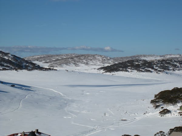
A quick line towards Fake Falls Creek
Freeride Skiing Moderate

This is a popular freeride skiing route which is generally considered to be moderate. It's remote, it features low exposure (e1) and is typically done between June and August. From a low point of 1.6 km to the maximum altitude of 1.7 km, the route covers 259 m, 0 vertical metres of ascent and 66 vertical metres of descent. It's graded 2.3 and Labande grade 2. You'll need skins to complete it safely.
Riding of the ridge line of The Trig, this line heads down towards Fake Falls Creek. Heading to the right will lessen the hike out and over the dam, hence the name.
Moderate
Slopes become slightly steeper at around 25-30 degrees.

Exposure is limited to that of the slope itself. Getting hurt is still likely if the slope is steep and/or the snow is hard.

Away from help but easily accessed.
5.7 km away
Following a narrow gully running down from Twynam, The Scimitar plummets down for over 400 metres of vertical to Watson's Creek
Difficult Freeride Skiing
5.7 km away

A great run to assess the conditions before dropping into the Blue Lake area
Moderate Freeride Skiing
5.7 km away

Collecting a huge amount of snow, this area holds the snow really late into the season and The Amphitheatre is a lovely set of chutes.
Severe Freeride Skiing
5.7 km away

Offering some of the greatest continuous fall line in Australia, The Triple A is fantastic in Spring, holding a consistent pitch all the way through.
Difficult Freeride Skiing
5.7 km away

The easiest line down to Blue Lake
Moderate Freeride Skiing
5.7 km away

The northeastern spur off Mt Twynam follows a gentle gradient for around 2 km to the base of Mt Anderson
Moderate Freeride Skiing
6.1 km away

A popular line for a serious backcountry skier or boarder, Stag Gully is the gnarliest of them all.
Severe Freeride Skiing
6.4 km away

The most western of the steep chutes down into Blue Lake.
Difficult Freeride Skiing
6.5 km away

The most common run into the Watsons Creek Bowl
Difficult Freeride Skiing
6.7 km away

One of the most picturesque lines you will ever do.
Moderate Freeride Skiing
16 routes · Freeride Skiing · Ski Touring