

8.4 km away
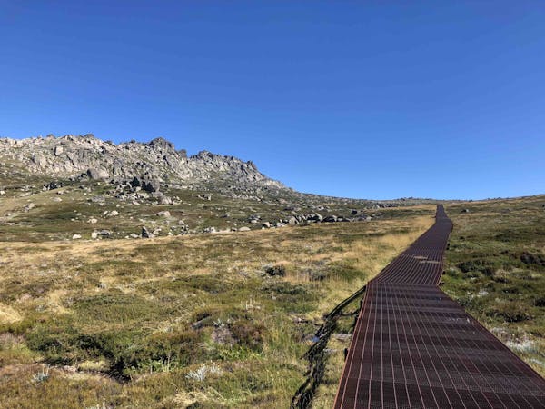
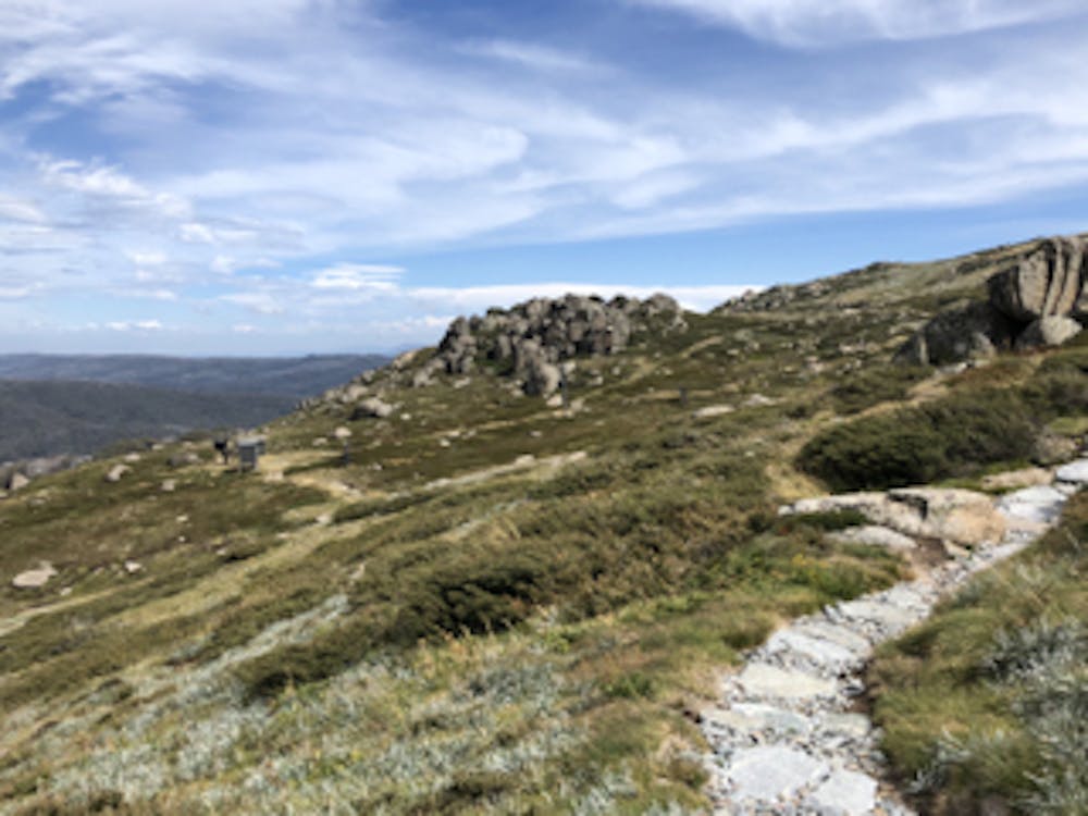
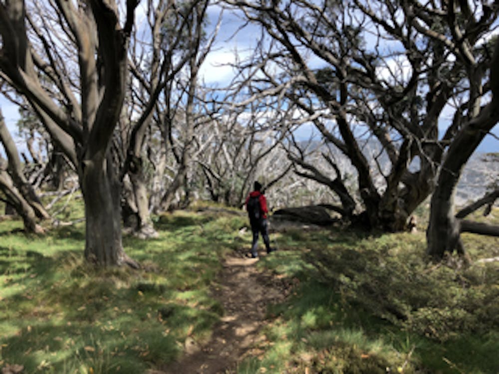
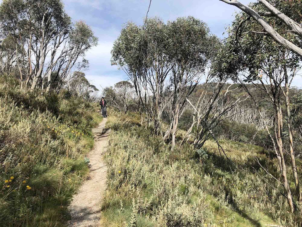
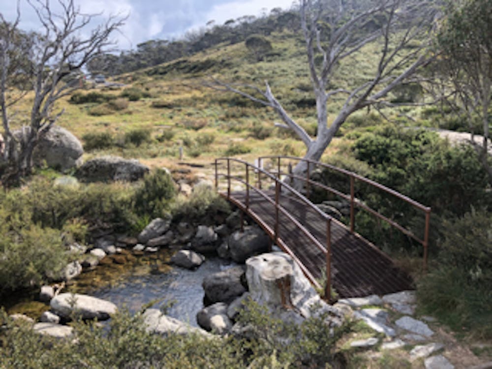
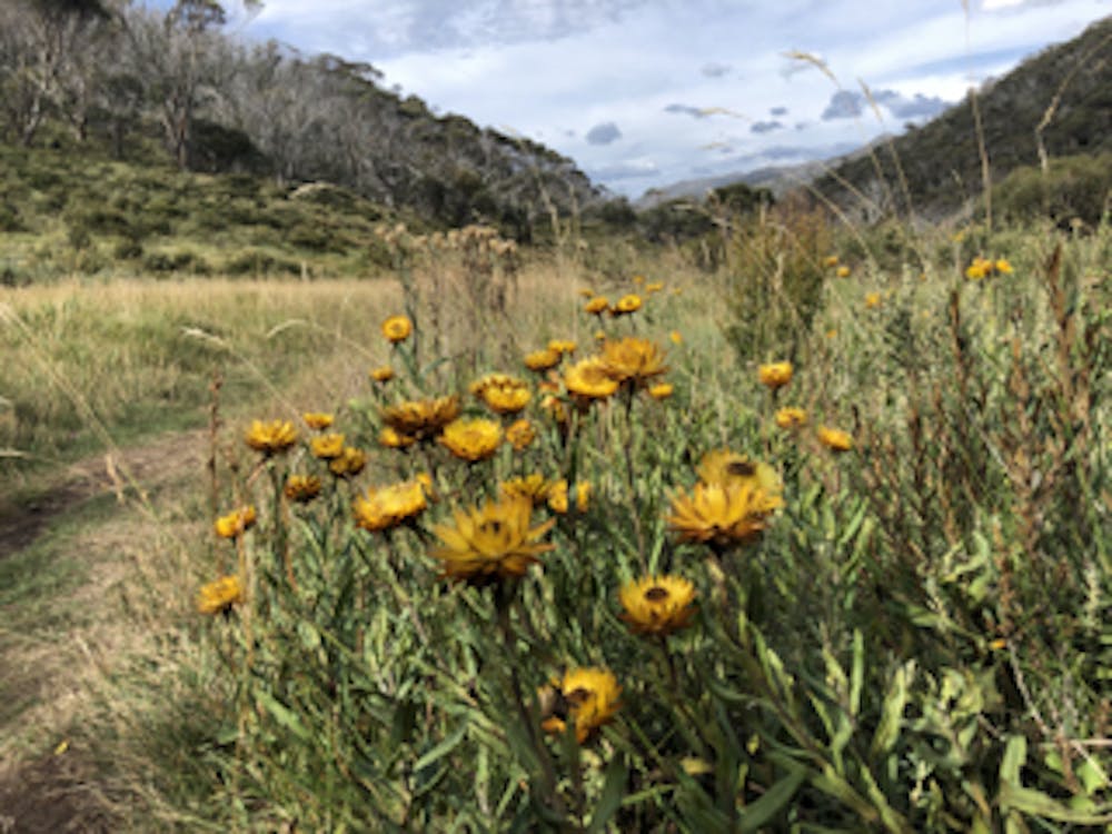
Mount Kosciuszko summit walk from Charlotte Pass
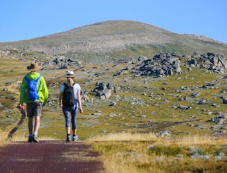
A hike to the highest point in Australia, the Mount Kosciuszko summit walk offers beautiful views and a good challenge for hikers of all abilities.
Moderate Hiking
- Distance
- 19 km
- Ascent
- 426 m
- Descent
- 427 m