5.8 km away
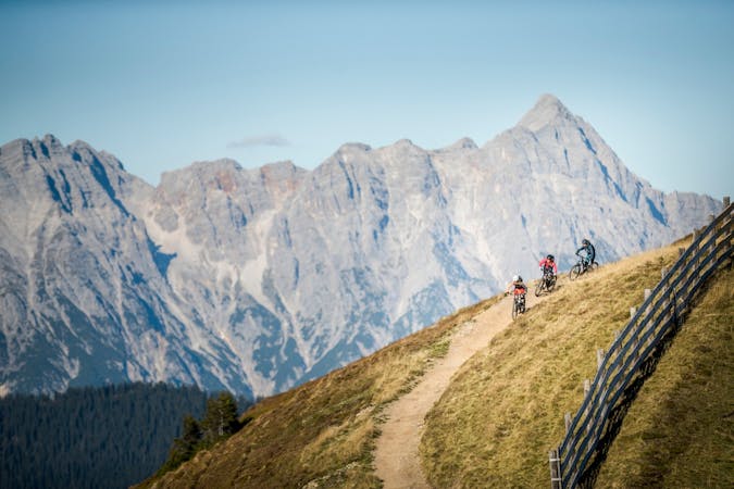
Panorama Trail + Monti Trail

A route top to bottom, connecting two amazing flow trails!
Moderate Mountain Biking
- Distance
- 6.9 km
- Ascent
- 0 m
- Descent
- 766 m
Fantastically built, rooty trail with a few gnarly sections
Mountain Biking Severe

The Bongo Bongo Freeride Trail branches off halfway down the freeride track. The Bongo Bongo runs almost exclusively in the forest, has numerous Northshore (wooden) elements, as well as some wallrides and drops. A trail for experienced cyclists looking for the extra portion of "Whoa". Best to be ridden when it has been dry for a couple of days as many sections in the forest take a while to fully dry.
Severe
Widely variable, narrow trail tread with steeper grades and unavoidable obstacles of 15in/38cm tall or less. Obstacles may include unavoidable bridges 24in/61cm wide or less, large rocks, gravel, difficult root sections, and more. Ideal for advanced-level riders.
5.8 km away
A route top to bottom, connecting two amazing flow trails!
Moderate Mountain Biking
3 routes · Mountain Biking