5.1 km away
Salzburg's Cultureweg
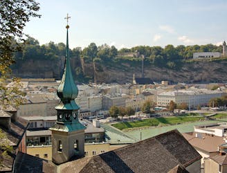
A trail run oozing with culture & history: the ultimate tour of Salzburg
Easy Trail Running
- Distance
- 12 km
- Ascent
- 511 m
- Descent
- 511 m
50km run incorporating all four 1000m+ mountains bordering the East of Salzburg
Trail Running Difficult

This is a popular trail running route which is generally considered to be difficult. It's not remote, it features medium exposure and is typically done between April and December. From a low point of 450 m to the maximum altitude of 1.3 km, the route covers 52 km, 2917 vertical metres of ascent and 2917 vertical metres of descent.
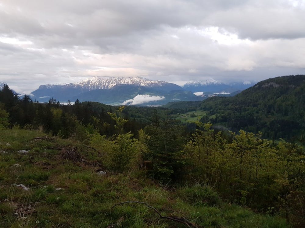
This 50km route incorporates all the 1000m+ mountains bordering Salzburg. The route is almost entirely trail and forest road and incorporates over 2500m of positive elevation. Run it twice (once in each direction) to complete the SEPP 100!
Difficult

The trail contains some obstacles such as outcroppings and rock which could cause injury.

Close to help in case of emergency.
5.1 km away
A trail run oozing with culture & history: the ultimate tour of Salzburg
Easy Trail Running
6.3 km away
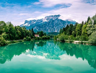
A trail that will make you feel like singing "the hills are alive!" as you reach the peak
Moderate Trail Running