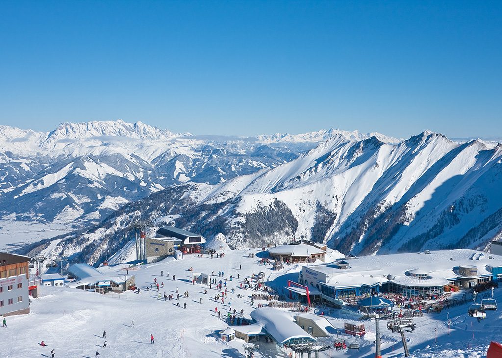
502 routes · Hiking · Ski Touring · Mountain Biking · Freeride Skiing · Alpine Climbing · Trail Running
Trail Running in Salzburg
Go trail running in Salzburg with curated guides of the best trail runs across the region. With over 148 3D trail maps in FATMAP, you can easily discover and navigate the best trails in Salzburg.
No matter what your next adventure has in store, you can find a guide on FATMAP to help you plan your next epic trip.
Get a top trail running recommendation in Salzburg from one of our 16 guidebooks, or get inspired by the 148 local adventures uploaded by the FATMAP community. Start exploring now!
Trail Running Destinations in Salzburg
![Dachstein Salzkammergut](https://fatmap-assets.imgix.net/resorts/Salzkammergut.jpg)
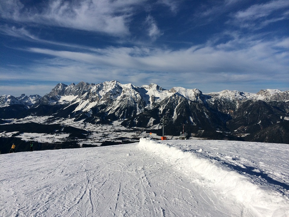
172 routes · Hiking · Mountain Biking · Alpine Climbing · Trail Running · Freeride Skiing
Dachstein Salzkammergut
![Saalbach Hinterglemm and Saalfelden Leogang](https://fatmap-assets.imgix.net/resorts/Saalbach.jpg)
57 routes · Mountain Biking · Freeride Skiing · Hiking
Saalbach Hinterglemm and Saalfelden Leogang
![Kaprun](https://fatmap-assets.imgix.net/resorts/Kaprun.jpg)
19 routes · Freeride Skiing
Kaprun
![Kitzbühel](https://fatmap-assets.imgix.net/resorts/Kitzbuhel.jpg)
17 routes · Hiking
Kitzbühel
![Schmittenhöhe Zell am See](https://fatmap-assets.imgix.net/resorts/Default.jpg)
15 routes · Freeride Skiing
Schmittenhöhe Zell am See
![Schladming](https://fatmap-assets.imgix.net/resorts/Schladming.jpg)
11 routes · Freeride Skiing
Schladming
![Zell Am See-Kaprun](https://fatmap-assets.imgix.net/resorts/Default.jpg)
7 routes
Zell Am See-Kaprun
Trail Running Routes in Salzburg
Salzburg's Cultureweg
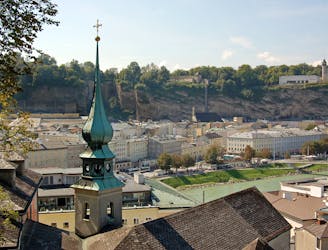
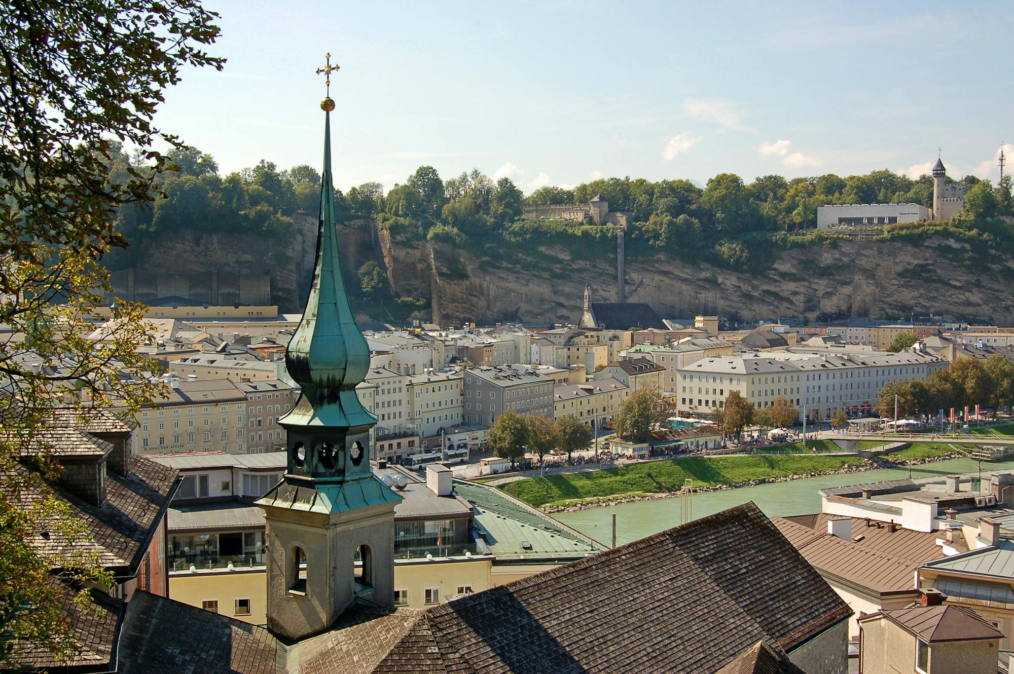
A trail run oozing with culture & history: the ultimate tour of Salzburg
Easy Trail Running
- Distance
- 12 km
- Ascent
- 511 m
- Descent
- 511 m
Untersberg Panorama Loop
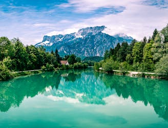
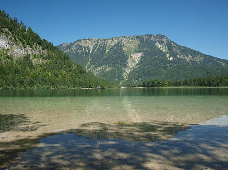
A trail that will make you feel like singing "the hills are alive!" as you reach the peak
Moderate Trail Running
- Distance
- 11 km
- Ascent
- 1.4 km
- Descent
- 1.4 km
Pinzgauer Spaziergang Trail Run (719)
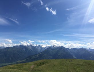
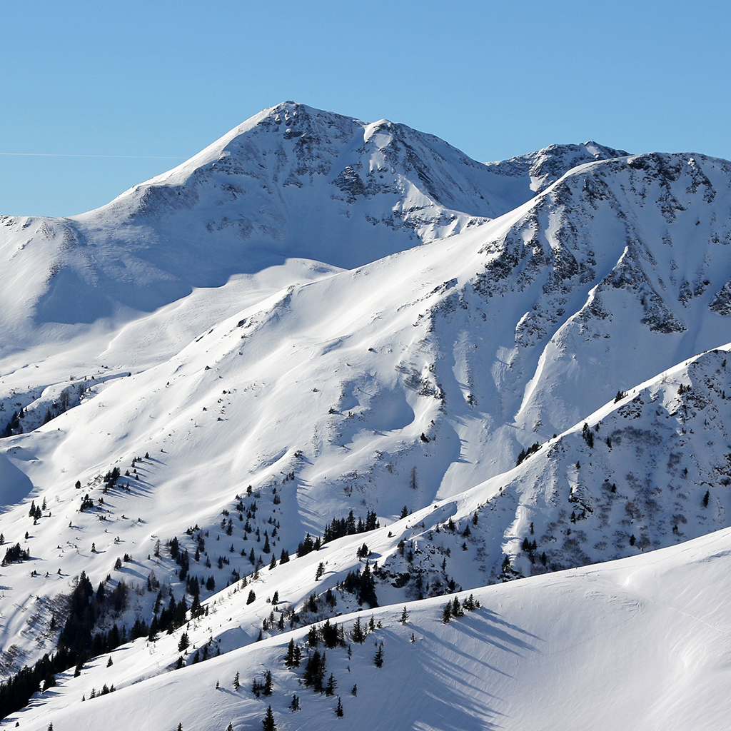
A long, high alpine run with excellent views and multiple summits!
Difficult Trail Running
- Distance
- 18 km
- Ascent
- 1.2 km
- Descent
- 1 km
UTMB Mozart 100 (2024)
![UTMB Mozart 100 (2024)](https://fatmap-adventure-screenshots.imgix.net/routes/3800479-blank.png?w=328&h=250&auto=compress%2Cformat)
Official Mozart 100 route (after update due to weather)
Difficult Trail Running
- Distance
- 105 km
- Ascent
- 4.6 km
- Descent
- 4.6 km
TCS - April 2022 Long Run
![TCS - April 2022 Long Run](https://fatmap-adventure-screenshots.imgix.net/routes/2928183-blank.png?w=328&h=250&auto=compress%2Cformat)
Final stages of the Mozart100 races
Moderate Trail Running
- Distance
- 24 km
- Ascent
- 1 km
- Descent
- 1.3 km
Salzburg Eastern Peaks Project (SEPP) 50
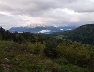
50km run incorporating all four 1000m+ mountains bordering the East of Salzburg
Difficult Trail Running
- Distance
- 52 km
- Ascent
- 2.9 km
- Descent
- 2.9 km
30HSOA-#9 Grosses Wiesbachhorn
Beautiful and easy high alpine trail
Moderate Trail Running
- Distance
- 11 km
- Ascent
- 1.5 km
- Descent
- 1.5 km
Mittagslauf (mittel)
![Mittagslauf (mittel)](https://fatmap-adventure-screenshots.imgix.net/routes/1729498-blank.png?w=328&h=250&auto=compress%2Cformat)
Quick & Easy (flat) run for the lunch break
Easy Trail Running
- Distance
- 11 km
- Ascent
- 49 m
- Descent
- 50 m