614 m away
Salzburg's Cultureweg
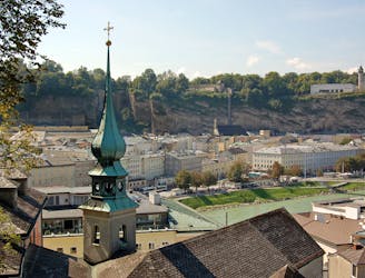
A trail run oozing with culture & history: the ultimate tour of Salzburg
Easy Trail Running
- Distance
- 12 km
- Ascent
- 511 m
- Descent
- 511 m
Official Mozart 100 route (after update due to weather)
Trail Running Difficult

This is a popular trail running route which is generally considered to be difficult. It's remote, it features medium exposure and is typically done in undefined. From a low point of 414 m to the maximum altitude of 1.3 km, the route covers 105 km, 4622 vertical metres of ascent and 4622 vertical metres of descent.
An opening moderato from Salzburg to Fuschl am See, tempo variations to lake Wolfgang with fortissimo up Zwölferhorn and Schafberg mountains, back to Salzburg with a finale furioso across Nockstein and Kapuzinerberg.
Difficult

The trail contains some obstacles such as outcroppings and rock which could cause injury.
Away from help but easily accessed.
614 m away
A trail run oozing with culture & history: the ultimate tour of Salzburg
Easy Trail Running
6.2 km away
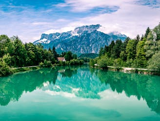
A trail that will make you feel like singing "the hills are alive!" as you reach the peak
Moderate Trail Running