233 m away
Pleisen Sud Est

A nice little 150 metre high face with some good freeride terrain.
Moderate Freeride Skiing
- Distance
- 408 m
- Ascent
- 7 m
- Descent
- 154 m
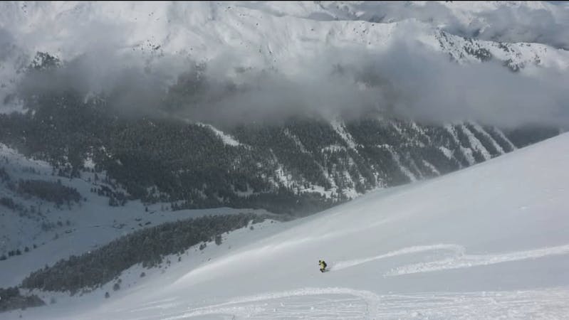
Formerly a piste, this is now a classic off piste run down to the village of Axams.
Freeride Skiing Moderate

From the top of the Pleisen chairlift, follow the Pleisen piste until it bends right. At this point branch left off the piste and hold a high traverse just below a ridge crest and cross over a blunt shoulder. From here, follow the wide ridge straight ahead, soaking in the amazing view and your newly won solitude. The pistes and chairlifts suddenly feel a long way away!
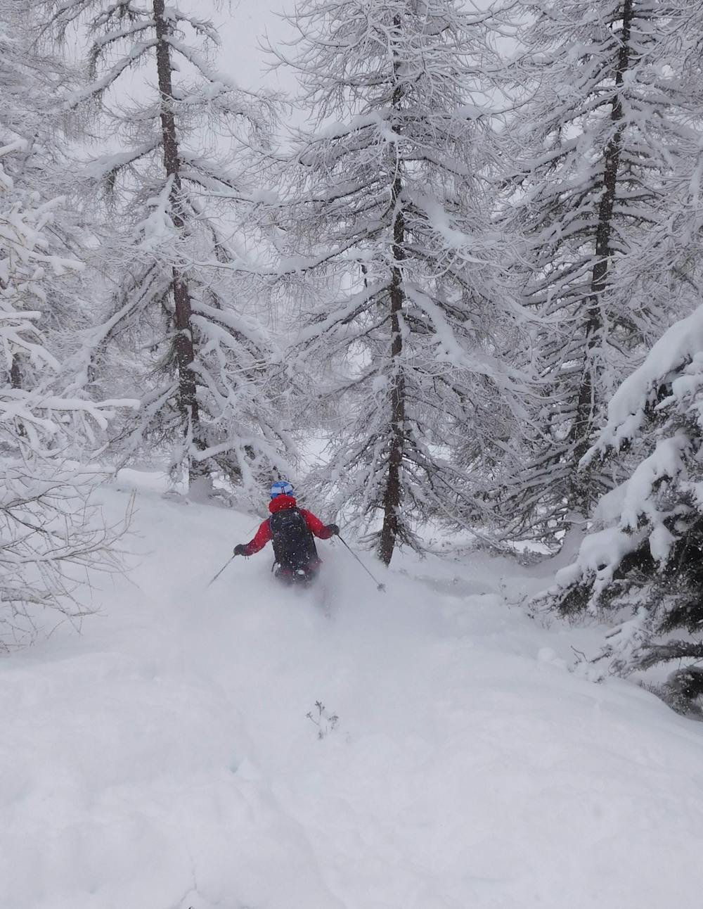
Continue down the ridge crest on lovely open slopes and carry on into the trees. From the days when this used to be a piste a line is cut through the trees so staying en route isn't difficult.
Keep skiing down through the trees, detouring anytime you see some decent terrain, all the way down to the fields at the southern end of Axams village. Cross these to Kögelestrasse street and catch the bus back up to Axamer Lizum from here.
Moderate
Slopes become slightly steeper at around 25-30 degrees.

Exposure is limited to that of the slope itself. Getting hurt is still likely if the slope is steep and/or the snow is hard.

Little chance of being seen or helped in case of an accident.
233 m away
A nice little 150 metre high face with some good freeride terrain.
Moderate Freeride Skiing
1.3 km away

A great little run down a north-east face which is usually either powder snow or moguls.
Difficult Freeride Skiing
1.3 km away

A run with a bit of everything, from open faces to tight trees.
Moderate Freeride Skiing
1.3 km away

Easily accessed freeride terrain which holds good snow for days after a storm
Difficult Freeride Skiing
1.6 km away
A small and very worthwhile detour which often has good snow long after the last storm.
Difficult Freeride Skiing
1.8 km away
The access hike for over a dozen freeride lines and ski tours.
Moderate Freeride Skiing
1.8 km away
A variety of routes leading down to a stunningly positioned mountain hut.
Difficult Freeride Skiing
1.9 km away

An easy, access, open couloir.
Difficult Freeride Skiing
2 km away

A lovely, wide couloir with a steep section makes this a good place to test your readiness for the tougher lines around here.
Difficult Freeride Skiing
2 km away

A tricky little couloir which will test your ability to perform tight turns.
Difficult Freeride Skiing

7 routes · Freeride Skiing
10 routes · Freeride Skiing

10 routes · Freeride Skiing